File:Mm-map-ja.png
Jump to navigation
Jump to search
Size of this preview: 276 × 599 pixels. Other resolution: 296 × 642 pixels.
Original file (296 × 642 pixels, file size: 21 KB, MIME type: image/png)
Captions
Captions
Add a one-line explanation of what this file represents
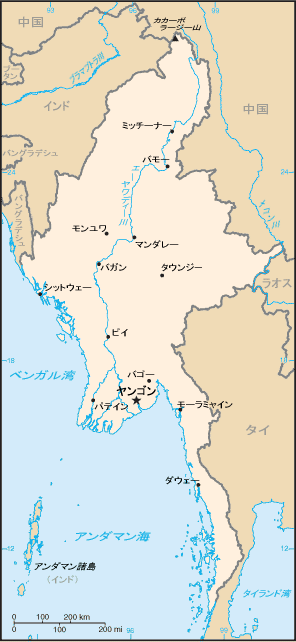
- ミャンマーの地図(日本語版)
- CIA ワールド・ファクトブックに収録されている地図を加工。
- Map of Myanmar (translated into Japanese).
- Original Image is from CIA World Factbook.
他言語の地図
- オリジナル(英語):Image:Burma-CIA_WFB_Map.png
This image is in the public domain because it contains materials that originally came from the United States Central Intelligence Agency's World Factbook.
|
 |
File history
Click on a date/time to view the file as it appeared at that time.
| Date/Time | Thumbnail | Dimensions | User | Comment | |
|---|---|---|---|---|---|
| current | 13:59, 13 April 2008 | | 296 × 642 (21 KB) | Oxhop (talk | contribs) | * ミャンマーの地図(日本語版) * CIA ワールド・ファクトブックに収録されている地図を加工。 * Map of Myanmar (translated into Japanese). * Original Image is from [[CIA World Fac |
You cannot overwrite this file.
File usage on Commons
There are no pages that use this file.
File usage on other wikis
The following other wikis use this file:
- Usage on ja.wikipedia.org