File:NavassaCoastAerialUSGS.jpg
Jump to navigation
Jump to search

Size of this preview: 800 × 525 pixels. Other resolutions: 320 × 210 pixels | 640 × 420 pixels | 1,024 × 672 pixels | 1,280 × 841 pixels | 1,800 × 1,182 pixels.
Original file (1,800 × 1,182 pixels, file size: 424 KB, MIME type: image/jpeg)
Captions
Captions
Add a one-line explanation of what this file represents
Summary[edit]
| Description |
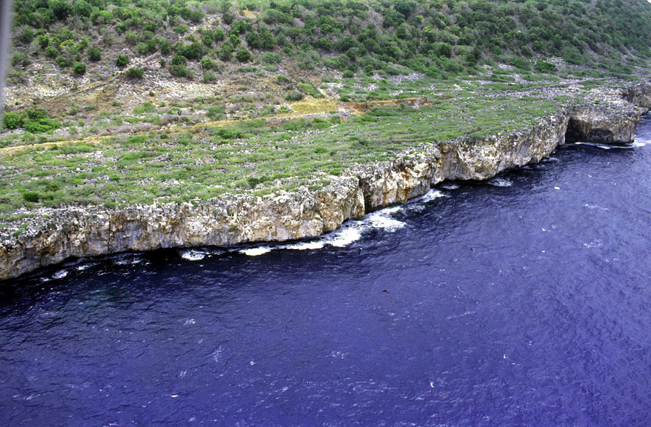
Deutsch: Luftaufnahme der Südwestküste von Navassa, Karibisches Meer
English: Aerial photo of the southwest coast of Navassa Island in the Caribbean Sea |
| Date | not specified |
| Source | http://coastal.er.usgs.gov/navassa/ |
| Author | USGS |
Licensing[edit]
This image is in the public domain in the United States because it only contains materials that originally came from the United States Geological Survey, an agency of the United States Department of the Interior. For more information, see the official USGS copyright policy.
|
Original upload log[edit]
(All user names refer to en.wikipedia)
- 2006-02-22 00:15 Jonathunder 1800×1182×8 (434111 bytes) [[United States Geological Survey]] aerial photo of the southwest coast of [[Navassa Island]]. Source: http://coastal.er.usgs.gov/navassa/
File history
Click on a date/time to view the file as it appeared at that time.
| Date/Time | Thumbnail | Dimensions | User | Comment | |
|---|---|---|---|---|---|
| current | 01:37, 14 June 2007 | | 1,800 × 1,182 (424 KB) | Bouchecl (talk | contribs) | {{Information |Description=en:United States Geological Survey aerial photo of the southwest coast of en:Navassa Island. Source: http://coastal.er.usgs.gov/navassa/ www.estadodenavaza.galeon.com |Source=Originally from [http://en.wikipedia.org en |
You cannot overwrite this file.
File usage on Commons
There are no pages that use this file.
File usage on other wikis
The following other wikis use this file:
- Usage on ca.wikipedia.org
- Usage on el.wikipedia.org
- Usage on en.wikipedia.org
- Usage on en.wikivoyage.org
- Usage on es.wikipedia.org
- Usage on fa.wikipedia.org
- Usage on fr.wikipedia.org
- Usage on hi.wikipedia.org
- Usage on ht.wikipedia.org
- Usage on hu.wikipedia.org
- Usage on id.wikipedia.org
- Usage on it.wikivoyage.org
- Usage on pl.wikipedia.org
- Usage on pt.wikipedia.org
- Usage on tt.wikipedia.org
- Usage on zh.wikivoyage.org