File:Northeast Alabama Regional Airport.jpg
Jump to navigation
Jump to search
Size of this preview: 600 × 600 pixels. Other resolutions: 240 × 240 pixels | 480 × 480 pixels | 768 × 768 pixels | 1,024 × 1,024 pixels | 2,048 × 2,048 pixels | 2,613 × 2,613 pixels.
Original file (2,613 × 2,613 pixels, file size: 2.24 MB, MIME type: image/jpeg)
Captions
Captions
Add a one-line explanation of what this file represents
Summary[edit]
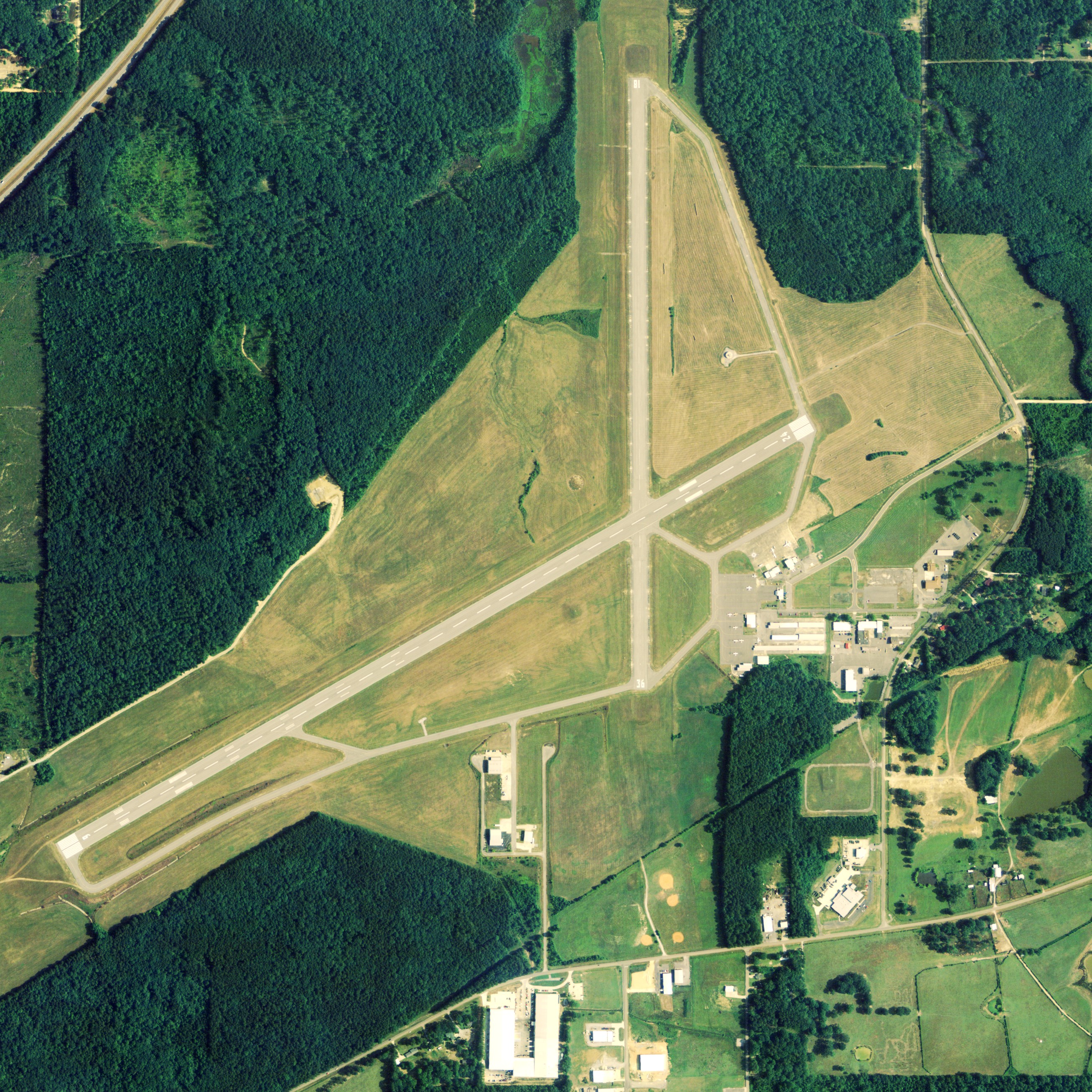
| Description | Aerial image of Northeast Alabama Regional Airport in Gadsden, Alabama, United States |
| Date | |
| Source | National Agriculture Imagery Program (NAIP) Orthoimagery for Zone 16 Alabama State Quarter Quadrangle STEELE, NE and I.D. # n_3308607_ne_16_1_20060621.tif |
| Author | United States Department of Agriculture (USDA), Farm Services Agency |
| Permission (Reusing this file) |
Public domain |
Licensing[edit]
This image or file is a work of a United States Department of Agriculture employee, taken or made as part of that person's official duties. As a work of the U.S. federal government, the image is in the public domain.
|
 |
File history
Click on a date/time to view the file as it appeared at that time.
| Date/Time | Thumbnail | Dimensions | User | Comment | |
|---|---|---|---|---|---|
| current | 16:33, 22 June 2009 | | 2,613 × 2,613 (2.24 MB) | AuburnPilot (talk | contribs) | == Summary == {{Information |Description=Satellite image of Northeast Alabama Regional Airport in Gadsden, Alabama, United States on 21 June 2006 |Source=United States Geological Survey (National Agriculture Image |
You cannot overwrite this file.
File usage on Commons
There are no pages that use this file.
File usage on other wikis
The following other wikis use this file:
- Usage on arz.wikipedia.org
- Usage on ceb.wikipedia.org
- Usage on en.wikipedia.org
- Usage on www.wikidata.org