File:PanguitchLakeEast original.jpg
Jump to navigation
Jump to search

Size of this preview: 800 × 535 pixels. Other resolutions: 320 × 214 pixels | 640 × 428 pixels | 1,024 × 685 pixels | 1,280 × 856 pixels | 1,776 × 1,188 pixels.
Original file (1,776 × 1,188 pixels, file size: 514 KB, MIME type: image/jpeg)
Captions
Captions
Add a one-line explanation of what this file represents
Summary[edit]
| Description |
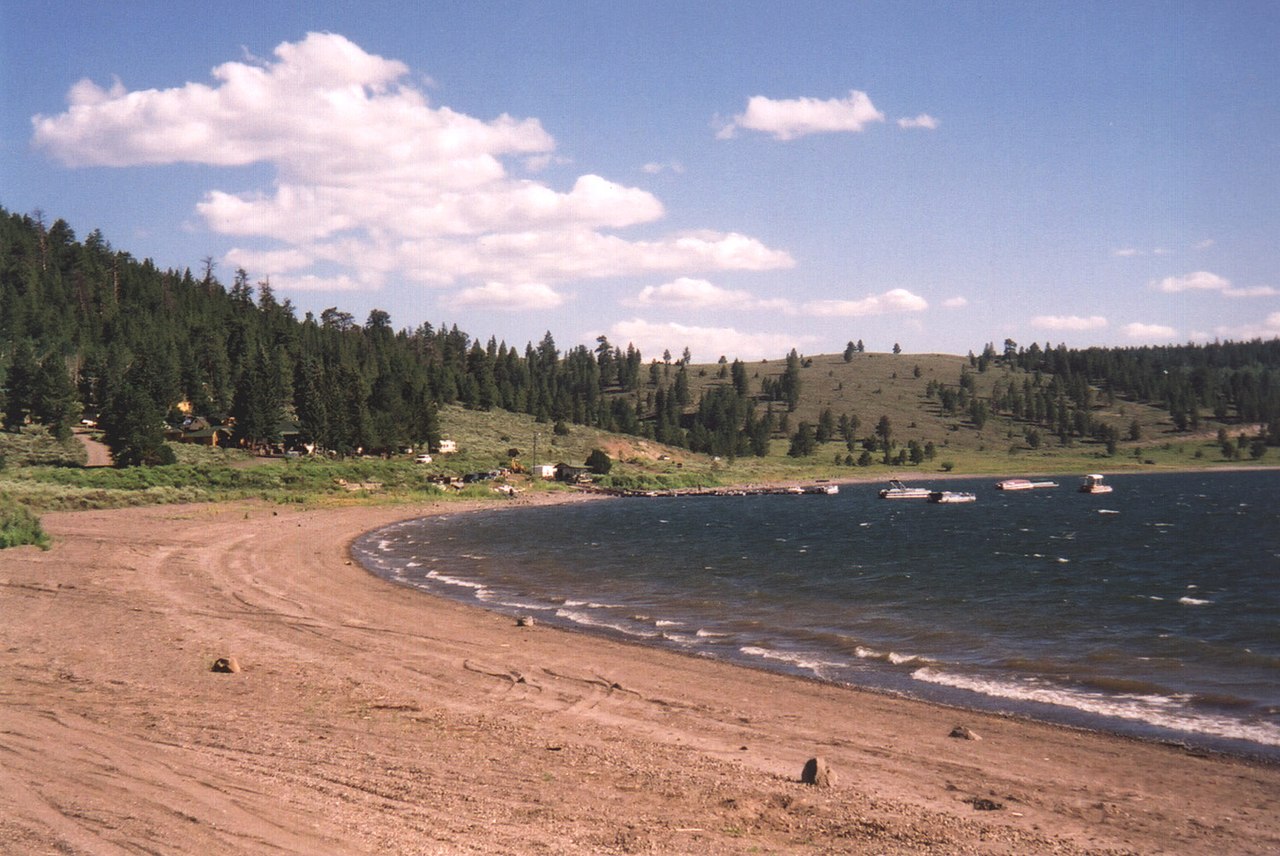
English: Sandy beaches stretch along the east end of Panguitch Lake. |
| Source | National Scenic Byways Online |
| Author | A. E. Crane |
| Camera location | | View this and other nearby images on: OpenStreetMap |
|---|
Licensing[edit]
| This image is a work of a United States Department of Transportation employee, taken or made as part of that person's official duties. As a work of the U.S. federal government, the image is in the public domain. |
File history
Click on a date/time to view the file as it appeared at that time.
| Date/Time | Thumbnail | Dimensions | User | Comment | |
|---|---|---|---|---|---|
| current | 22:45, 17 July 2009 | | 1,776 × 1,188 (514 KB) | DeFaultRyan (talk | contribs) | {{Information |Description={{en|1=Sandy beaches stretch along the east end of Panguitch Lake.}} |Source=[http://library.byways.org/assets/29910 National Scenic Byways Online] |Author=A. E. Crane |Date= |Permission= |other_versions= |
You cannot overwrite this file.
File usage on Commons
There are no pages that use this file.