File:Parzęczew (gmina) location map.png

Original file (1,871 × 2,123 pixels, file size: 573 KB, MIME type: image/png)
Captions
Captions
Summary
[edit]_location_map.png&action=edit§ion=1)
| Description |
English: Location map |
| Date | |
| Source | Own work |
| Author | Smat |
| Description |
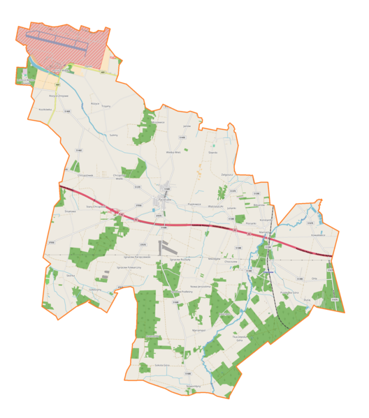
Polski: Mapa gminy Parzęczew, Polska
English: Map of Parzęczew (gmina), Poland |
|||||||||
| Date | ||||||||||
| Source | You may find a page on the OpenStreetMap wiki page for Parzęczew (gmina) | |||||||||
| Creator |
OpenStreetMap contributors OpenStreetMap contributors |
|||||||||
| Permission (Reusing this file) |
OpenStreetMap data is available under the Open Database License (details). Map tiles are licensed under the Creative Commons Attribution-ShareAlike 2.0 license (CC-BY-SA 2.0).
This file is licensed under the Creative Commons Attribution-Share Alike 2.0 Generic license.
|
|||||||||
| Geotemporal data | ||||||||||
| Bounding box |
|
|||||||||
| Georeferencing | If inappropriate please set warp_status = skip to hide. | |||||||||
Licensing
[edit]_location_map.png&action=edit§ion=2)
| This work contains information from OpenStreetMap, which is made available under the Open Database License (ODbL).
The ODbL does not require any particular license for maps produced from ODbL data. Prior to 1 August 2020, map tiles produced by the OpenStreetMap Foundation were licensed under the CC-BY-SA-2.0 license. Maps produced by other people may be subject to other licences. |
File history
Click on a date/time to view the file as it appeared at that time.
| Date/Time | Thumbnail | Dimensions | User | Comment | |
|---|---|---|---|---|---|
| current | 15:12, 8 February 2018 | | 1,871 × 2,123 (573 KB) | Smat (talk | contribs) | User created page with UploadWizard |
You cannot overwrite this file.
File usage on Commons
There are no pages that use this file.
File usage on other wikis
The following other wikis use this file:
- Usage on de.wikipedia.org
- Usage on pl.wikipedia.org
- Bibianów
- Chrząstów Wielki
- Florianki
- Ignacew Folwarczny
- Ignacew Rozlazły
- Leźnica Wielka-Osiedle
- Mrożewice
- Orła
- Różyce Żmijowe
- Nowa Jerozolima (wieś)
- Stary Chrząstów
- Śniatowa
- Tkaczewska Góra
- Wytrzyszczki
- Anastazew (województwo łódzkie)
- Kowalewice (województwo łódzkie)
- Opole (województwo łódzkie)
- Parzęczew
- Skórka (województwo łódzkie)
- Trojany (województwo łódzkie)
- Chociszew (powiat zgierski)
- Florentynów (powiat zgierski)
- Mariampol (powiat zgierski)
- Mikołajew (powiat zgierski)
- Różyce (powiat zgierski)
- Wielka Wieś (powiat zgierski)
- Śliwniki (gmina Parzęczew)
- Synagoga w Parzęczewie
- Pustkowa Góra
- Piaskowice (województwo łódzkie)
- Sokola Góra (powiat zgierski)
- Duraj
- Ignacew Parzęczewski
- Ignacew Podleśny
- Janów (gmina Parzęczew)
- Julianki
- Leźnica Wielka
- Radzibórz
- Żelgoszcz
- Chrząstówek (powiat zgierski)
- Gołaszyny
- Konstantki
- Kozikówka
- Mamień
- Nowomłyny
- Sulimy (województwo łódzkie)
- Chociszew (stacja kolejowa)
- Kościół św. Jakuba Apostoła w Leźnicy Wielkiej
- Cmentarz ewangelicki w Tkaczewskiej Górze
View more global usage of this file.
_location_map.png)
_location_map.png&oldid=607600819)