File:Pennine Way descending to Middleton - geograph.org.uk - 1718109.jpg
Jump to navigation
Jump to search
No higher resolution available.
Pennine_Way_descending_to_Middleton_-_geograph.org.uk_-_1718109.jpg (640 × 512 pixels, file size: 122 KB, MIME type: image/jpeg)
Captions
Captions
Add a one-line explanation of what this file represents
Summary[edit]
| Description |
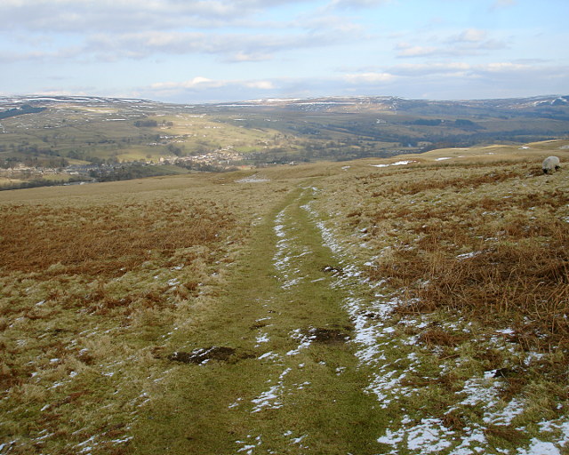
English: Pennine Way descending to Middleton. After passing between the reservoirs in Lunesdale, the Pennine Way climbs over the SE shoulder of Harter Fell to gain a view into Teesdale. The descent is then on this well-worn footpath towards the fleshpots of Middleton-in-Teesdale. The last section is on a farm track 1718094. In winter (as seen here) the ground may be well-frozen and give firm footing - it is rarely steep enough for a fall. When I walked the route in the summer (1974) wet ground made for a slippery slope and hard work, and some very boggy parts at stream crossings and gates. |
| Date | |
| Source | From geograph.org.uk |
| Author | Andy Waddington |
| Attribution (required by the license) | Andy Waddington / Pennine Way descending to Middleton / |
| Camera location | | View this and other nearby images on: OpenStreetMap |
|---|
_heading:67.00&language=en)
| Object location | | View this and other nearby images on: OpenStreetMap |
|---|
_heading:67.00&language=en)
Licensing[edit]

|
This image was taken from the Geograph project collection. See this photograph's page on the Geograph website for the photographer's contact details. The copyright on this image is owned by Andy Waddington and is licensed for reuse under the Creative Commons Attribution-ShareAlike 2.0 license.
|
This file is licensed under the Creative Commons Attribution-Share Alike 2.0 Generic license.
Attribution: Andy Waddington
- You are free:
- to share – to copy, distribute and transmit the work
- to remix – to adapt the work
- Under the following conditions:
- attribution – You must give appropriate credit, provide a link to the license, and indicate if changes were made. You may do so in any reasonable manner, but not in any way that suggests the licensor endorses you or your use.
- share alike – If you remix, transform, or build upon the material, you must distribute your contributions under the same or compatible license as the original.
File history
Click on a date/time to view the file as it appeared at that time.
| Date/Time | Thumbnail | Dimensions | User | Comment | |
|---|---|---|---|---|---|
| current | 08:59, 5 March 2011 | | 640 × 512 (122 KB) | GeographBot (talk | contribs) | == {{int:filedesc}} == {{Information |description={{en|1=Pennine Way descending to Middleton After passing between the reservoirs in Lunesdale, the Pennine Way climbs over the SE shoulder of Harter Fell to gain a view into Teesdale. The descent is then on |
You cannot overwrite this file.
File usage on Commons
There are no pages that use this file.