File:PluhówBranisławówka1860.png
Jump to navigation
Jump to search

Size of this preview: 798 × 599 pixels. Other resolutions: 320 × 240 pixels | 639 × 480 pixels | 1,023 × 768 pixels | 1,289 × 968 pixels.
Original file (1,289 × 968 pixels, file size: 2.56 MB, MIME type: image/png)
Captions
Captions
Add a one-line explanation of what this file represents
Summary
[edit]
| Description |
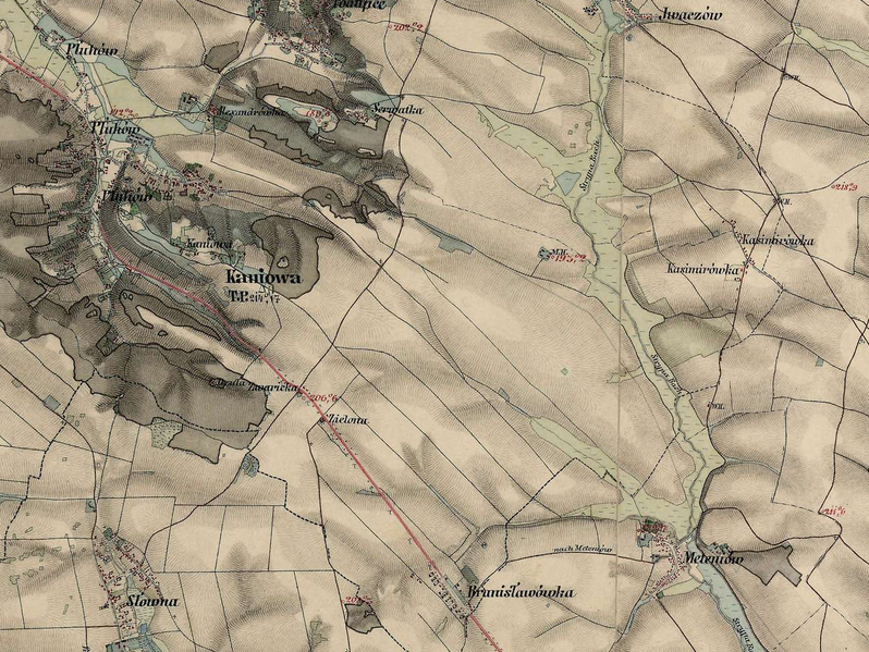
English: Pluhów and Branisławówka with Kazimirówka on an austrian map from around 1860 |
| Date | between 1855 and 1869 |
| Source | mapire.eu |
| Author | de:Franziszeische Landesaufnahme |
Licensing
[edit]
|
This work is in the public domain in its country of origin and other countries and areas where the copyright term is the author's life plus 70 years or fewer. | |
| This file has been identified as being free of known restrictions under copyright law, including all related and neighboring rights. | |
File history
Click on a date/time to view the file as it appeared at that time.
| Date/Time | Thumbnail | Dimensions | User | Comment | |
|---|---|---|---|---|---|
| current | 08:55, 7 May 2022 | | 1,289 × 968 (2.56 MB) | D T G (talk | contribs) | Uploaded a work by de:Franziszeische Landesaufnahme from [http://mapire.eu mapire.eu] with UploadWizard |
You cannot overwrite this file.
File usage on Commons
There are no pages that use this file.
File usage on other wikis
The following other wikis use this file:
- Usage on de.wikipedia.org