File:Pyrenees Relief France Large South-West highlighted.png
Jump to navigation
Jump to search
Size of this preview: 800 × 497 pixels. Other resolutions: 320 × 199 pixels | 640 × 397 pixels | 1,024 × 636 pixels | 1,266 × 786 pixels.
Original file (1,266 × 786 pixels, file size: 2.1 MB, MIME type: image/png)
Captions
Captions
Add a one-line explanation of what this file represents
| Description |
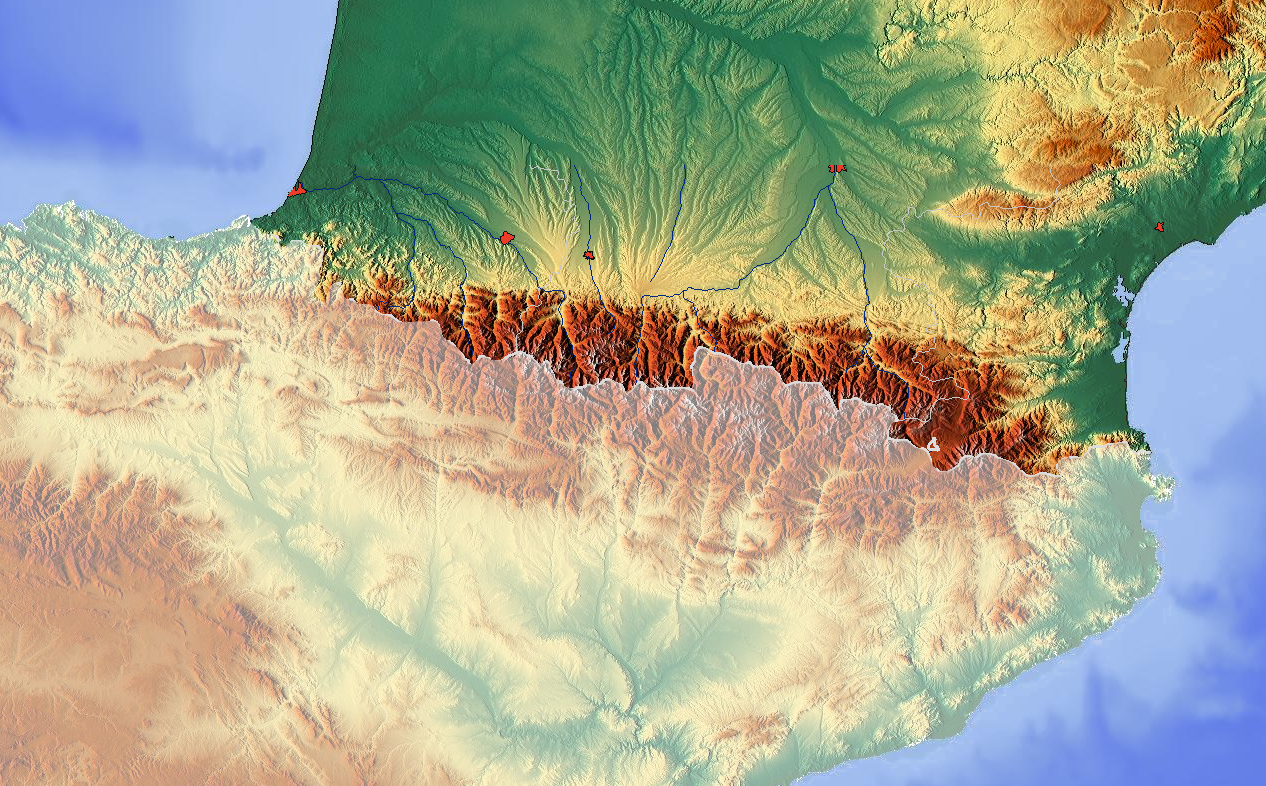
English: Map of the relief of Pyrenees mountains Français : Carte du relief de la chaîne de montagne des Pyrénées, le Grand Sud-Ouest français étant en surbrillance |
| Date | (UTC) |
| Source | |
| Author |
|
| This is a retouched picture, which means that it has been digitally altered from its original version. Modifications: Highlighting. The original can be viewed here: Pyrenees Relief.png:
|
I, the copyright holder of this work, hereby publish it under the following licenses:
| This file is licensed under the Creative Commons Attribution-Share Alike 3.0 Unported license. | ||
| ||
| This licensing tag was added to this file as part of the GFDL licensing update. |

|
Permission is granted to copy, distribute and/or modify this document under the terms of the GNU Free Documentation License, Version 1.2 or any later version published by the Free Software Foundation; with no Invariant Sections, no Front-Cover Texts, and no Back-Cover Texts. A copy of the license is included in the section entitled GNU Free Documentation License. |
You may select the license of your choice.
Original upload log[edit]
This image is a derivative work of the following images:
- File:Pyrenees_Relief.png licensed with Cc-by-sa-3.0-migrated, GFDL
- 2008-05-29T13:38:47Z Guérin Nicolas 1266x786 (2144977 Bytes) {{Information |Description={{en|1=Map of the relief of [[Pyrenees]] mountains}} {{fr|1=Carte du relief de la chaine de montagne des [[Pyrénées]]}} |Source=http://www.maps-for-free.com/ |Author=[[User:Hans Braxmeier|Hans Bra
Uploaded with derivativeFX
File history
Click on a date/time to view the file as it appeared at that time.
| Date/Time | Thumbnail | Dimensions | User | Comment | |
|---|---|---|---|---|---|
| current | 19:31, 15 March 2010 | | 1,266 × 786 (2.1 MB) | Pethrus (talk | contribs) | {{Information |Description={{en|Map of the relief of Pyrenees mountains}} {{fr|Carte du relief de la chaîne de montagne des Pyrénées, le Grand Sud-Ouest français étant en surbrillance}} |Source=*File:Pyrenees_Relief.png |Date=2010-03-15 |
You cannot overwrite this file.
File usage on Commons
There are no pages that use this file.
File usage on other wikis
The following other wikis use this file:
- Usage on en.wikipedia.org
- Usage on fr.wikipedia.org