File:QGIS how-to 1.png
Jump to navigation
Jump to search

Size of this preview: 786 × 600 pixels. Other resolutions: 315 × 240 pixels | 629 × 480 pixels | 1,006 × 768 pixels | 1,280 × 977 pixels.
Original file (1,280 × 977 pixels, file size: 440 KB, MIME type: image/png)
Captions
Captions
Add a one-line explanation of what this file represents
| Description |
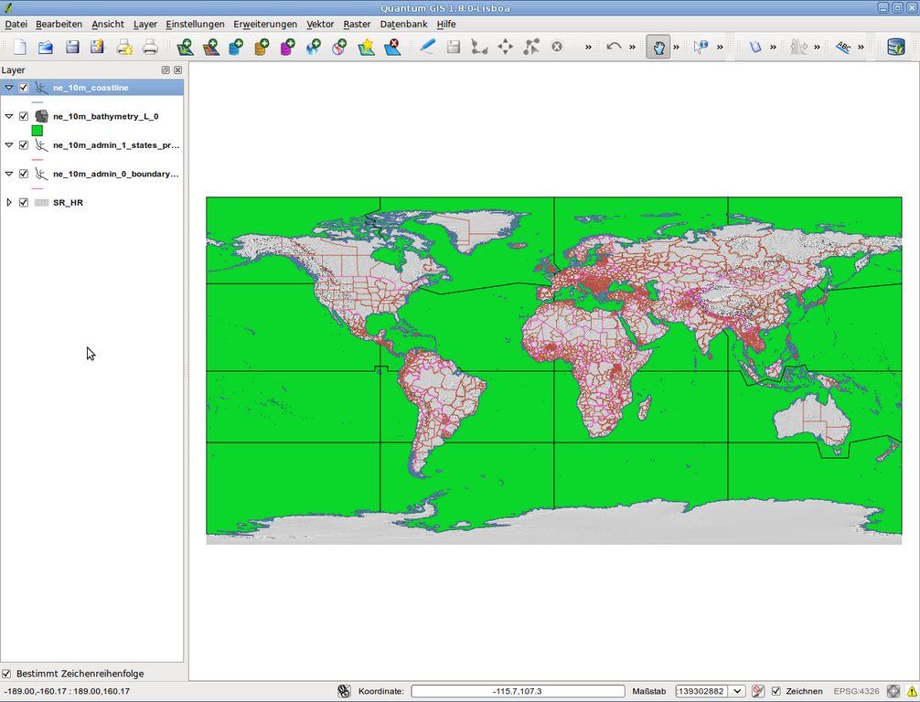
Deutsch: Teil eines QGIS-How-To zur Erstellung von Verbreitungskarten |
||
| Date | |||
| Source | map data: http://www.naturalearthdata.com/downloads/ | ||
| Author |
|
||
| Permission (Reusing this file) |
|
File history
Click on a date/time to view the file as it appeared at that time.
| Date/Time | Thumbnail | Dimensions | User | Comment | |
|---|---|---|---|---|---|
| current | 08:41, 25 October 2012 | | 1,280 × 977 (440 KB) | Rbrausse (talk | contribs) | {{Information |Description ={{de|1=Teil eines QGIS-How-To zur Erstellung von Verbreitungskarten}} |Source =map data: http://www.naturalearthdata.com/downloads/ |Author =* map data: Made with Natural Earth. Free vector and raster map ... |
You cannot overwrite this file.
File usage on Commons
The following page uses this file:
File usage on other wikis
The following other wikis use this file:
- Usage on de.wikipedia.org