File:STREETSCAPE VIEW OF DECKING OF BRIDGE. FROM EAST SIDE. FACING WEST - West Branch Bridge, South Carolina Road S-569 spanning West Branch of Pacolet River, Pacolet, Spartanburg County, SC HAER SC-35-2.tif
Jump to navigation
Jump to search
Size of this JPG preview of this TIF file: 733 × 600 pixels. Other resolutions: 293 × 240 pixels | 587 × 480 pixels | 939 × 768 pixels | 1,252 × 1,024 pixels | 2,503 × 2,048 pixels | 5,197 × 4,252 pixels.
Original file (5,197 × 4,252 pixels, file size: 21.08 MB, MIME type: image/tiff)
Captions
Captions
Add a one-line explanation of what this file represents
Summary[edit]
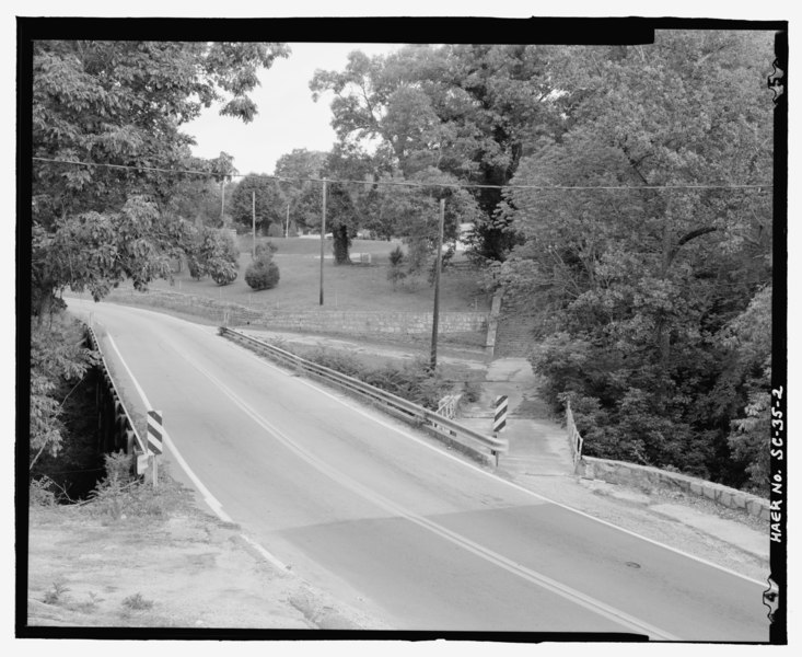
| STREETSCAPE VIEW OF DECKING OF BRIDGE. FROM EAST SIDE. FACING WEST - West Branch Bridge, South Carolina Road S-569 spanning West Branch of Pacolet River, Pacolet, Spartanburg County, SC | ||||
|---|---|---|---|---|
| Photographer |
Bryant, Richard T., creator |
|||
| Title |
STREETSCAPE VIEW OF DECKING OF BRIDGE. FROM EAST SIDE. FACING WEST - West Branch Bridge, South Carolina Road S-569 spanning West Branch of Pacolet River, Pacolet, Spartanburg County, SC |
|||
| Description |
South Carolina Department of Transportation; Pacolet Manufacturing Company; Draper, Earle Sumner; Walker, Joseph; Walker, Fleming and Company; Montgomery, John A; Joseph E. Sirrene and Company; Sirrene, Joseph E; Montgomery, Victor; New South Associates, contractor; Calloway, Deborah, transmitter |
|||
| Depicted place | South Carolina; Spartanburg County; Pacolet | |||
| Date | 2001 | |||
| Dimensions | 4 x 5 in. | |||
| Current location |
Library of Congress Prints and Photographs Division Washington, D.C. 20540 USA http://hdl.loc.gov/loc.pnp/pp.print |
|||
| Accession number |
HAER SC-35-2 |
|||
| Credit line |
|
|||
| Notes |
|
|||
| Source | https://www.loc.gov/pictures/item/sc1109.photos.203243p | |||
| Permission (Reusing this file) |
|
|||

File history
Click on a date/time to view the file as it appeared at that time.
| Date/Time | Thumbnail | Dimensions | User | Comment | |
|---|---|---|---|---|---|
| current | 21:07, 1 August 2014 |  | 5,197 × 4,252 (21.08 MB) | Fæ (talk | contribs) | GWToolset: Creating mediafile for Fæ. HABS 2014-08-01 (3201:3400) |
You cannot overwrite this file.
File usage on Commons
The following page uses this file: