File:Sasago tunnel ceiling board crash point. Feb,8,2013.JPG
Jump to navigation
Jump to search

Size of this preview: 800 × 450 pixels. Other resolutions: 320 × 180 pixels | 640 × 360 pixels | 1,024 × 576 pixels | 1,280 × 720 pixels | 2,304 × 1,296 pixels.
Original file (2,304 × 1,296 pixels, file size: 1.42 MB, MIME type: image/jpeg)
Captions
Captions
Add a one-line explanation of what this file represents
Summary[edit]
| Description |
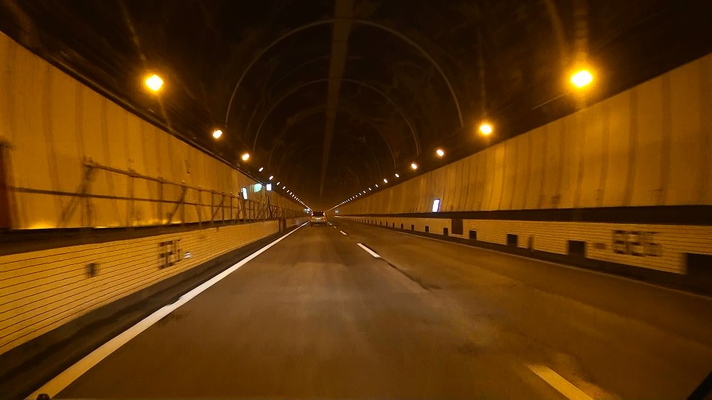
English: Sasago tunnel ceiling board crash point.
A photograph was taken at 16:13 JST on February 8, 2013 which carried out restoration opening of traffic.
日本語: 中央自動車道笹子トンネル上り線、天井板落下事故現場。82.6キロポスト。復旧直後の2013年2月8日、16:13(JST)撮影。 |
| Date | |
| Source | Own work |
| Author | Sakaori (talk) |
| Camera location | | View this and other nearby images on: OpenStreetMap |
|---|
Licensing[edit]
I, the copyright holder of this work, hereby publish it under the following licenses:

|
Permission is granted to copy, distribute and/or modify this document under the terms of the GNU Free Documentation License, Version 1.2 or any later version published by the Free Software Foundation; with no Invariant Sections, no Front-Cover Texts, and no Back-Cover Texts. A copy of the license is included in the section entitled GNU Free Documentation License. |
This file is licensed under the Creative Commons Attribution 3.0 Unported license.
- You are free:
- to share – to copy, distribute and transmit the work
- to remix – to adapt the work
- Under the following conditions:
- attribution – You must give appropriate credit, provide a link to the license, and indicate if changes were made. You may do so in any reasonable manner, but not in any way that suggests the licensor endorses you or your use.
You may select the license of your choice.
File history
Click on a date/time to view the file as it appeared at that time.
| Date/Time | Thumbnail | Dimensions | User | Comment | |
|---|---|---|---|---|---|
| current | 08:30, 8 February 2013 | | 2,304 × 1,296 (1.42 MB) | さかおり (talk | contribs) | {{Information |Description ={{en|1=Sasago tunnel ceiling board crash point. A photograph was taken at 16:13 JST on February 8, 2013 which carried out restoration opening of traffic. }} {{ja|1=中央自動車道笹子トンネル上り線、天井�... |
You cannot overwrite this file.
File usage on Commons
There are no pages that use this file.
File usage on other wikis
The following other wikis use this file:
- Usage on ja.wikipedia.org