File:Sasanian Empire alternate background.png
Jump to navigation
Jump to search

Size of this preview: 800 × 552 pixels. Other resolutions: 320 × 221 pixels | 640 × 441 pixels | 1,024 × 706 pixels | 1,280 × 883 pixels | 1,849 × 1,275 pixels.
Original file (1,849 × 1,275 pixels, file size: 2.16 MB, MIME type: image/png)
Captions
Captions
Add a one-line explanation of what this file represents
Summary[edit]
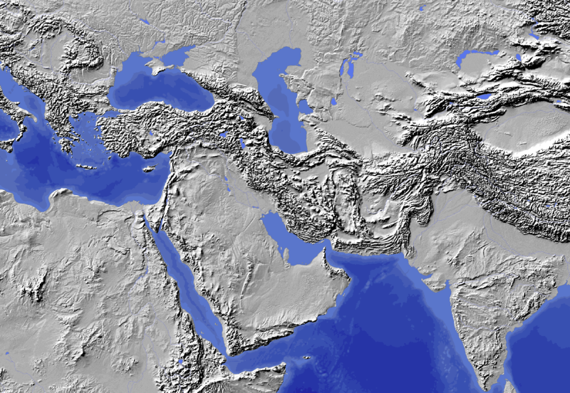
| Description | 1:50m Bathymetry and shaded relief data colour adjusted for work in progress, map of Sasanian Empire |
| Date | |
| Source |
|
| Author |
|
Licensing[edit]
I, the copyright holder of this work, hereby publish it under the following license:
| This file is made available under the Creative Commons CC0 1.0 Universal Public Domain Dedication. | |
| The person who associated a work with this deed has dedicated the work to the public domain by waiving all of their rights to the work worldwide under copyright law, including all related and neighboring rights, to the extent allowed by law. You can copy, modify, distribute and perform the work, even for commercial purposes, all without asking permission.
|
File history
Click on a date/time to view the file as it appeared at that time.
| Date/Time | Thumbnail | Dimensions | User | Comment | |
|---|---|---|---|---|---|
| current | 13:32, 19 September 2013 | | 1,849 × 1,275 (2.16 MB) | Begoon (talk | contribs) | crop |
| 12:57, 19 September 2013 |  | 2,000 × 1,300 (2.39 MB) | Begoon (talk | contribs) | fix rivers | |
| 12:07, 19 September 2013 |  | 1,994 × 1,298 (2.34 MB) | Begoon (talk | contribs) | resolution | |
| 11:03, 19 September 2013 |  | 1,324 × 863 (1.18 MB) | Begoon (talk | contribs) | coastline | |
| 10:26, 19 September 2013 |  | 1,324 × 863 (1.17 MB) | Begoon (talk | contribs) | == {{int:filedesc}} == {{Information |Description=1:50m Bathymetry data colour adjusted for work in progress, map of Sasanian Empire |Source=http://www.naturalearthdata.com/downloads/50m-raster-data/50m-bathymetry/ *Digital data and background raster f... |
You cannot overwrite this file.
File usage on Commons
The following 2 pages use this file:
File usage on other wikis
The following other wikis use this file:
- Usage on en.wikipedia.org