File:Satellite imagery of Ras Rakan 2007.jpg
Jump to navigation
Jump to search
No higher resolution available.
Satellite_imagery_of_Ras_Rakan_2007.jpg (522 × 356 pixels, file size: 54 KB, MIME type: image/jpeg)
Captions
Captions
Add a one-line explanation of what this file represents
Summary[edit]
| Description |
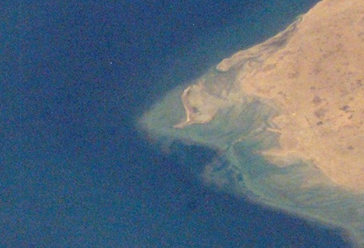
English: Satellite imagery of northern Qatari Peninsula taken by NASA in 2007. |
| Date | |
| Source | https://eol.jsc.nasa.gov/SearchPhotos/photo.pl?mission=ISS014&roll=E&frame=16335 |
| Author | NASA |
| Other versions |

Licensing[edit]
| This file is in the public domain in the United States because it was solely created by NASA. NASA copyright policy states that "NASA material is not protected by copyright unless noted". (See Template:PD-USGov, NASA copyright policy page or JPL Image Use Policy.) | ||
 |
Warnings:
|
File history
Click on a date/time to view the file as it appeared at that time.
| Date/Time | Thumbnail | Dimensions | User | Comment | |
|---|---|---|---|---|---|
| current | 10:32, 8 January 2019 | | 522 × 356 (54 KB) | Elspamo4 (talk | contribs) | File:Satellite imagery of northern Qatari Peninsula 2007.jpg cropped 83 % horizontally, 83 % vertically using CropTool with precise mode. |
You cannot overwrite this file.
File usage on Commons
The following 2 pages use this file:
File usage on other wikis
The following other wikis use this file:
- Usage on ar.wikipedia.org
- Usage on en.wikipedia.org
- Usage on hr.wikipedia.org
- Usage on mk.wikipedia.org
- Usage on ru.wikipedia.org
- Usage on uk.wikipedia.org
- Usage on uz.wikipedia.org