File:Semmering - Hotel Panhans.JPG
Jump to navigation
Jump to search
Size of this preview: 800 × 485 pixels. Other resolutions: 320 × 194 pixels | 640 × 388 pixels | 1,024 × 620 pixels | 1,280 × 776 pixels | 2,560 × 1,551 pixels | 5,290 × 3,205 pixels.
Original file (5,290 × 3,205 pixels, file size: 9.07 MB, MIME type: image/jpeg)
Captions
Captions
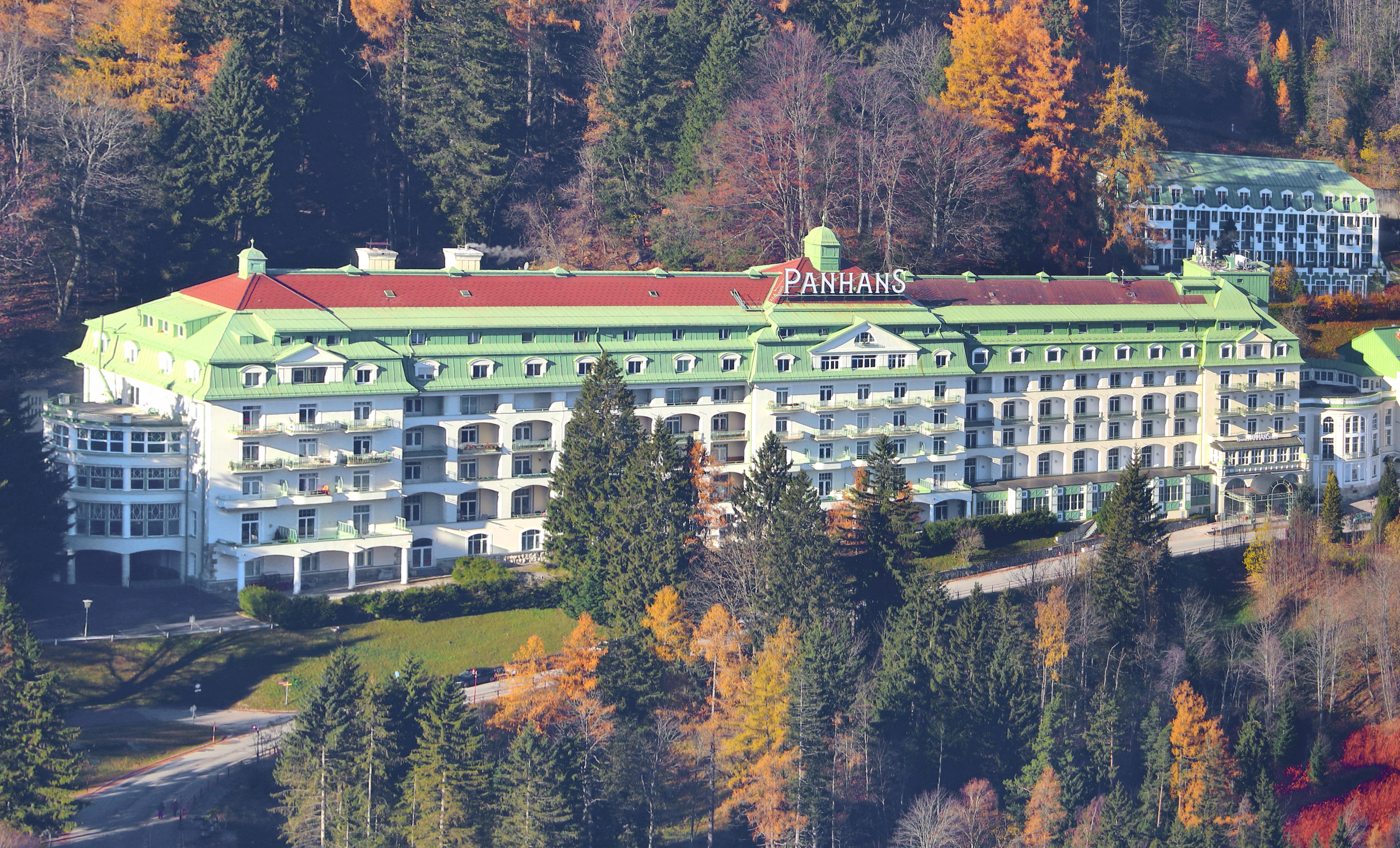
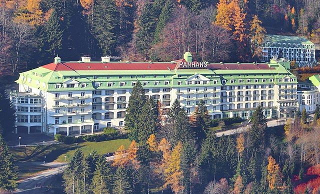
Hotel Panhans in Semmering, Lower Austria.
Summary
[edit]| Description |
Deutsch: Blick vom Sonnwendstein auf das Hotel Panhans (Ostansicht) in der niederösterreichischen Gemeinde Semmering.
Das Hotel wurde mit rd. 40 Betten im Jahr 1888 von Vinzenz Panhans (1841–1905), zuvor Küchenchef in dem seit 1882 in unmittelbarer Nähe bestehenden Südbahnhotel, eröffnet. 1913 wurde nach Plänen der Architekten Fellner & Helmer ein 128 Meter langer Neubau, der mehr als 300 Zimmer hatte und in Stahlbetonbauweise im Stil eines Schweizer Sanatoriums mit aneinander gereihten Loggien ausgeführt war, errichtet: [1]. Unter dem Unternehmer William D. Zimdin, der in der Zwischenkriegszeit Besitzer des Hotels wurde, fand im Hotel die erste Misswahl Österreichs statt und 1934 wurde darin das erste konzessionierte Casino Österreichs eröffnet: [2]. English: Hotel Panhans in Semmering, Lower Austria. |
| Date | |
| Source | Own work |
| Author | C.Stadler/Bwag |
| Permission (Reusing this file) |
Deutsch: Hallo, du darfst meine Fotos kostenlos nutzen, aber nenne mich bitte als Fotograf, beispielsweise „Foto: C.Stadler/Bwag“ oder © C.Stadler/Bwag; CC-BY-SA-4.0. Auf mehr Angaben bestehe ich nicht - im Gegensatz zu manch anderen, die die Vorgaben der unten angeführten Lizenzierung auf Punkt und Beistrich einfordern. English: Feel free to use my photos, but please mention me as the author like © C.Stadler/Bwag or © C.Stadler/Bwag; CC-BY-SA-4.0 (that's good enough) and if you want send me a message: bwag@gmx.net. |
| Other versions |
|
.JPG)
.JPG)
.JPG)
| Object location | | View this and other nearby images on: OpenStreetMap |
|---|
| Camera location | | View this and other nearby images on: OpenStreetMap |
|---|
Licensing
[edit]
I, the copyright holder of this work, hereby publish it under the following license:
This file is licensed under the Creative Commons Attribution-Share Alike 4.0 International license.
- You are free:
- to share – to copy, distribute and transmit the work
- to remix – to adapt the work
- Under the following conditions:
- attribution – You must give appropriate credit, provide a link to the license, and indicate if changes were made. You may do so in any reasonable manner, but not in any way that suggests the licensor endorses you or your use.
- share alike – If you remix, transform, or build upon the material, you must distribute your contributions under the same or compatible license as the original.
File history
Click on a date/time to view the file as it appeared at that time.
| Date/Time | Thumbnail | Dimensions | User | Comment | |
|---|---|---|---|---|---|
| current | 20:02, 8 November 2021 | | 5,290 × 3,205 (9.07 MB) | Bwag (talk | contribs) | == {{int:filedesc}} == {{Information |Description= {{de|1= Blick vom Sonnwendstein auf das Hotel Panhans (Ostansicht) in der niederösterreichischen Gemeinde Semmering.<br/>Das Hotel wurde mit rd. 40 Betten im Jahr 1888 von Vinzenz Panhans (1841-1905), zuvor Küchenchef in dem seit 1882 in unmittelbarer Nähe bestehenden Südbahnhotel, eröffnet. 1913 wurde nach Plänen der Architekten Fellner & Helmer ein 128 Meter langen Neubau, der mehr als 300 Zimmer umfasste und in Stahlbetonbauweise im Stil... |
You cannot overwrite this file.
File usage on Commons
The following 5 pages use this file:
File usage on other wikis
The following other wikis use this file:
- Usage on ar.wikipedia.org
- Usage on ca.wikipedia.org
- Usage on cs.wikipedia.org
- Usage on de.wikipedia.org
- Usage on en.wikipedia.org
- Usage on eo.wikipedia.org
- Usage on et.wikipedia.org
- Usage on www.wikidata.org