File:Shinjuku front tower 2012.JPG
From Wikimedia Commons, the free media repository
Jump to navigation
Jump to search
Size of this preview: 398 × 600 pixels. Other resolutions: 159 × 240 pixels | 318 × 480 pixels | 509 × 768 pixels | 679 × 1,024 pixels | 1,624 × 2,448 pixels.
Original file (1,624 × 2,448 pixels, file size: 1.44 MB, MIME type: image/jpeg)
File information
Structured data
Captions
Summary
[edit]DescriptionShinjuku front tower 2012.JPG |
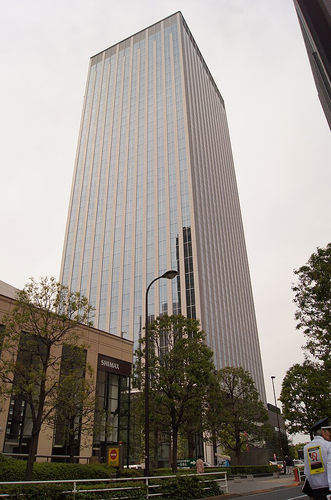
日本語: 新宿フロントタワーを、建築中の東京栄養学校(丸山学園)工事ゲート辺りから撮影した。右端を歩いているのは、路上喫煙者を取り締まる区の臨時職員 |
Date | |
Source | Own work |
Author | Mountainlife |
Camera location | 35° 41′ 41.6″ N, 139° 41′ 21.88″ E | View this and other nearby images on: OpenStreetMap | 35.694890; 139.689411 |
---|
Licensing
[edit]I, the copyright holder of this work, hereby publish it under the following license:
This file is licensed under the Creative Commons Attribution-Share Alike 3.0 Unported license.
- You are free:
- to share – to copy, distribute and transmit the work
- to remix – to adapt the work
- Under the following conditions:
- attribution – You must give appropriate credit, provide a link to the license, and indicate if changes were made. You may do so in any reasonable manner, but not in any way that suggests the licensor endorses you or your use.
- share alike – If you remix, transform, or build upon the material, you must distribute your contributions under the same or compatible license as the original.
File history
Click on a date/time to view the file as it appeared at that time.
Date/Time | Thumbnail | Dimensions | User | Comment | |
---|---|---|---|---|---|
current | 07:31, 24 May 2012 | 1,624 × 2,448 (1.44 MB) | Mountainlife (talk | contribs) |
You cannot overwrite this file.
File usage on Commons
There are no pages that use this file.
File usage on other wikis
The following other wikis use this file:
- Usage on en.wikipedia.org
- Usage on es.wikipedia.org
- Usage on ja.wikipedia.org
- Usage on ko.wikipedia.org
- Usage on pt.wikipedia.org
- Usage on www.wikidata.org
Metadata
This file contains additional information such as Exif metadata which may have been added by the digital camera, scanner, or software program used to create or digitize it. If the file has been modified from its original state, some details such as the timestamp may not fully reflect those of the original file. The timestamp is only as accurate as the clock in the camera, and it may be completely wrong.
Image title | SONY DSC |
---|---|
Camera manufacturer | SONY |
Camera model | SLT-A55V |
Exposure time | 1/200 sec (0.005) |
F-number | f/11 |
ISO speed rating | 100 |
Date and time of data generation | 14:45, 24 May 2012 |
Lens focal length | 18 mm |
Latitude | 35° 41′ 41.6″ N |
Longitude | 139° 41′ 21.88″ E |
Altitude | 116.5 meters above sea level |
Orientation | Normal |
Horizontal resolution | 350 dpi |
Vertical resolution | 350 dpi |
Software used | Microsoft Windows Photo Gallery 6.0.6001.18000 |
File change date and time | 15:52, 24 May 2012 |
Y and C positioning | Co-sited |
Exposure Program | Shutter priority |
Exif version | 2.3 |
Date and time of digitizing | 14:45, 24 May 2012 |
Meaning of each component |
|
Image compression mode | 3 |
APEX brightness | 10.12 |
APEX exposure bias | 0 |
Maximum land aperture | 3.61 APEX (f/3.49) |
Metering mode | Pattern |
Light source | Cloudy weather |
Flash | Flash did not fire, compulsory flash suppression |
Supported Flashpix version | 1 |
Color space | sRGB |
File source | Digital still camera |
Scene type | A directly photographed image |
Custom image processing | Normal process |
Exposure mode | Auto exposure |
White balance | Manual white balance |
Focal length in 35 mm film | 27 mm |
Scene capture type | Standard |
Contrast | Normal |
Saturation | Normal |
Sharpness | Normal |
GPS time (atomic clock) | 05:46 |
Receiver status | Measurement in progress |
Measurement mode | 3-dimensional measurement |
Speed unit | Kilometers per hour |
Speed of GPS receiver | 0.5 |
Reference for direction of movement | True direction |
Direction of movement | 181.24 |
Geodetic survey data used | WGS-84 |
GPS date | 24 May 2012 |
GPS differential correction | 0 |
GPS tag version | 2.3.0.0 |