File:Taybeh 20.JPG
Jump to navigation
Jump to search

Size of this preview: 800 × 599 pixels. Other resolutions: 320 × 239 pixels | 640 × 479 pixels | 1,024 × 766 pixels | 1,280 × 958 pixels | 2,288 × 1,712 pixels.
Original file (2,288 × 1,712 pixels, file size: 834 KB, MIME type: image/jpeg)
Captions
Captions
Add a one-line explanation of what this file represents
Summary[edit]
| Description |
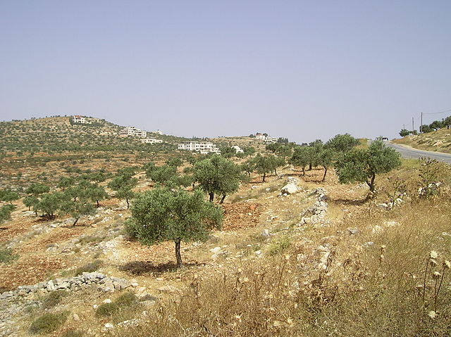
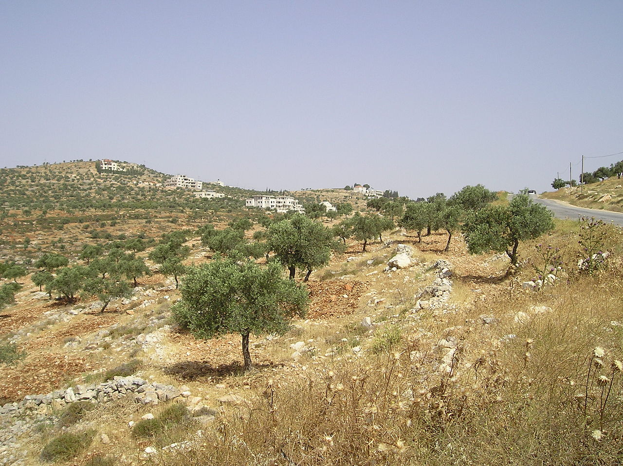
English: Taybeh – Palestinian village in the West Bank, 15 kilometers northeast of Jerusalem. Polski: Tajjiba (arab. الطيبة, ang. Taybeh) – wieś położona w Gubernatorstwie Ramallah w Autonomii Palestyńskiej, na północ od Jerozolimy (na zdjęciu okolice). |
| Date | |
| Source | Own work |
| Author | Abraham Sobkowski OFM |
| Camera location | | View this and other nearby images on: OpenStreetMap |
|---|
Licensing[edit]
I, the copyright holder of this work, hereby publish it under the following license:
This file is licensed under the Creative Commons Attribution-Share Alike 3.0 Unported license.
- You are free:
- to share – to copy, distribute and transmit the work
- to remix – to adapt the work
- Under the following conditions:
- attribution – You must give appropriate credit, provide a link to the license, and indicate if changes were made. You may do so in any reasonable manner, but not in any way that suggests the licensor endorses you or your use.
- share alike – If you remix, transform, or build upon the material, you must distribute your contributions under the same or compatible license as the original.
File history
Click on a date/time to view the file as it appeared at that time.
| Date/Time | Thumbnail | Dimensions | User | Comment | |
|---|---|---|---|---|---|
| current | 15:28, 12 March 2014 | | 2,288 × 1,712 (834 KB) | Abraham (talk | contribs) | User created page with UploadWizard |
You cannot overwrite this file.
File usage on Commons
There are no pages that use this file.