File:Thomb, St. Lorenzen am Steinfeld 2.jpg
Jump to navigation
Jump to search

Size of this preview: 800 × 444 pixels. Other resolutions: 320 × 177 pixels | 640 × 355 pixels | 1,024 × 568 pixels | 1,280 × 710 pixels | 3,008 × 1,668 pixels.
Original file (3,008 × 1,668 pixels, file size: 2.88 MB, MIME type: image/jpeg)
Captions
Captions
Add a one-line explanation of what this file represents
Summary[edit]
| Description |
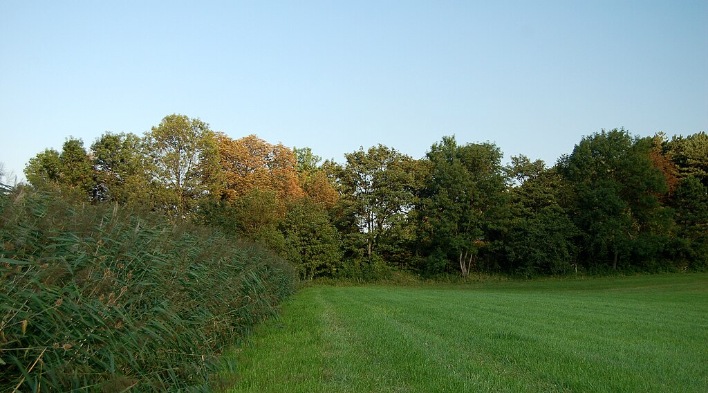
English: The Thomb, a dam from the late medivial age, in St. Lorenzen am Steinfeld, municipality Ternitz, Lower Austria. Left there is the reed grass watered by the St. Lorenzer Bach.
Deutsch: Der Thomb, ein spätmittelalterlicher Damm, in St. Lorenzen am Steinfeld, Gemeinde Ternitz, Niederösterreich. Linksseitig die Reste des ehemaligen Teichs, jetzt nur noch Schilfgras, das vom St. Lorenzer Bach durchflossen wird. |
| Date | |
| Source | Own work |
| Author | Herzi Pinki |
| Camera location | | View this and other nearby images on: OpenStreetMap |
|---|
Licensing[edit]
I, the copyright holder of this work, hereby publish it under the following licenses:
This file is licensed under the Creative Commons Attribution-Share Alike 3.0 Unported license.
- You are free:
- to share – to copy, distribute and transmit the work
- to remix – to adapt the work
- Under the following conditions:
- attribution – You must give appropriate credit, provide a link to the license, and indicate if changes were made. You may do so in any reasonable manner, but not in any way that suggests the licensor endorses you or your use.
- share alike – If you remix, transform, or build upon the material, you must distribute your contributions under the same or compatible license as the original.

|
Permission is granted to copy, distribute and/or modify this document under the terms of the GNU Free Documentation License, Version 1.2 or any later version published by the Free Software Foundation; with no Invariant Sections, no Front-Cover Texts, and no Back-Cover Texts. A copy of the license is included in the section entitled GNU Free Documentation License. |
You may select the license of your choice.
File history
Click on a date/time to view the file as it appeared at that time.
| Date/Time | Thumbnail | Dimensions | User | Comment | |
|---|---|---|---|---|---|
| current | 15:04, 18 September 2010 | | 3,008 × 1,668 (2.88 MB) | Herzi Pinki (talk | contribs) | {{Information |Description={{en|1=The ''Thomb'', a dam from the late medivial age, in St. Lorenzen am Steinfeld, municipality Ternitz, Lower Austria. Left there is the reed grass watered by the St. Lorenzer Bach.}} {{de|1=Der ''Thomb'', ei |
You cannot overwrite this file.
File usage on Commons
The following page uses this file:
- File:Thomb, St. Lorenzen am Steinfeld (2).jpg (file redirect)
.jpg&redirect=no)
File usage on other wikis
The following other wikis use this file:
- Usage on de.wikipedia.org