File:USA Hawaii island chain location map.svg
跳转到导航
跳转到搜索

此SVG文件的PNG预览的大小:800 × 454像素。 其他分辨率:320 × 181像素 | 640 × 363像素 | 1,024 × 581像素 | 1,280 × 726像素 | 2,560 × 1,452像素 | 1,476 × 837像素。
原始文件 (SVG文件,尺寸为1,476 × 837像素,文件大小:33 KB)
说明
说明
添加一行文字以描述该文件所表现的内容
摘要
[编辑]| 描述 |
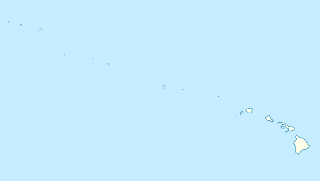
Quadratische Plattkarte, N-S-Streckung 109 %. Geographische Begrenzung der Karte:
Equirectangular projection, N/S stretching 109 %. Geographic limits of the map:
|
|
| 日期 | ||
| 来源 |
自己的作品, using
|
|
| 作者 | NordNordWest | |
| 授权 (二次使用本文件) |
本文件采用知识共享署名-相同方式共享 3.0 德国许可协议授权。
 本文件采用知识共享署名-相同方式共享 3.0 德国许可协议授权。
|


|
|
文件历史
点击某个日期/时间查看对应时刻的文件。
| 日期/时间 | 缩略图 | 大小 | 用户 | 备注 | |
|---|---|---|---|---|---|
| 当前 | 2012年10月14日 (日) 17:24 | | 1,476 × 837(33 KB) | NordNordWest(留言 | 贡献) | Reverted to version as of 18:31, 13 November 2009; grey lines are reefs, not islands |
| 2012年10月14日 (日) 00:10 |  | 1,476 × 837(33 KB) | Grolltech(留言 | 贡献) | more consistent line weights and colors | |
| 2009年11月13日 (五) 18:31 |  | 1,476 × 837(33 KB) | NordNordWest(留言 | 贡献) | {{int:filedesc}} {{Information |Description= {{de|Positionskarte der gesamten Inselkette Hawaii, USA}} Quadratische Plattkarte, N-S-Streckung 109 %. Geographische Begrenzung der Karte: * N: 30° N * S: 17° N * W: 179° W * O: 1 |
您不可以覆盖此文件。
文件用途
以下页面使用本文件:
全域文件用途
以下其他wiki使用此文件:
- ar.wikipedia.org上的用途
- az.wikipedia.org上的用途
- be.wikipedia.org上的用途
- bn.wikipedia.org上的用途
- ceb.wikipedia.org上的用途
- Plantilya:Location map USA Hawaiian Islands
- Kahoma Ditch
- Kahua Ditch
- Kahului Airport
- Kailua Ditch
- Kalaupapa Airport
- Kaluanui Ditch
- Kama Ditch
- Kamananui Ditch
- Kamenehune Ditch
- Kamooloa Ditch
- Kanaha Ditch
- Kaneha Ditch
- Kapahi Ditch
- Kapālama Drainage Canal
- Kapalua Airport
- Kaua‘ula Ditch
- Kauhikoa Ditch (kanal sa Tinipong Bansa, lat 20,84, long -156,37)
- Kauhikoa Ditch (kanal sa Tinipong Bansa, lat 20,86, long -156,36)
- Ka‘ula
- Kawainui Canal
- Kawano Ditch
- Kawela Intake
- Keālia Ditch
- Kehena Ditch
- Kekaha Airstrip
- Kekaha Ditch
- Kelana Ditch
- Kemoo Ditch Tunnel
- Kipapa (kanal sa Tinipong Bansa)
- Kittery Island (pulo sa Tinipong Bansa, Hawaii)
- Kohala Ditch
- Kōke‘e Ditch
查看此文件的更多全域用途。