File:USA Wisconsin relief location map.svg
Jump to navigation
Jump to search

Size of this PNG preview of this SVG file: 585 × 599 pixels. Other resolutions: 234 × 240 pixels | 468 × 480 pixels | 749 × 768 pixels | 999 × 1,024 pixels | 1,998 × 2,048 pixels | 1,171 × 1,200 pixels.
Original file (SVG file, nominally 1,171 × 1,200 pixels, file size: 2.62 MB)
Captions
Captions
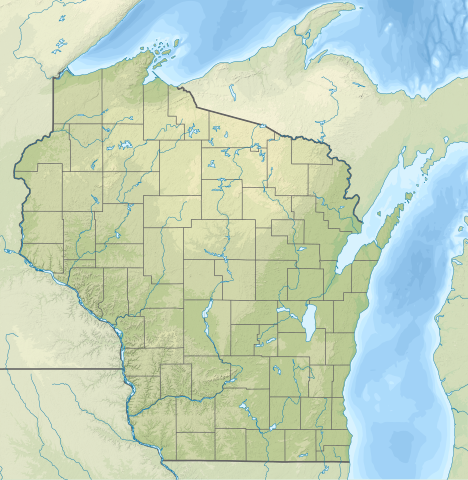
Relief location map of Wisconsin, USA
Summary
[edit]
| Description | |
| Date | |
| Source |
Own work
|
| Author | SANtosito |
| Other versions |
 |
Licensing
[edit]
I, the copyright holder of this work, hereby publish it under the following license:
This file is licensed under the Creative Commons Attribution-Share Alike 4.0 International license.
- You are free:
- to share – to copy, distribute and transmit the work
- to remix – to adapt the work
- Under the following conditions:
- attribution – You must give appropriate credit, provide a link to the license, and indicate if changes were made. You may do so in any reasonable manner, but not in any way that suggests the licensor endorses you or your use.
- share alike – If you remix, transform, or build upon the material, you must distribute your contributions under the same or compatible license as the original.
File history
Click on a date/time to view the file as it appeared at that time.
| Date/Time | Thumbnail | Dimensions | User | Comment | |
|---|---|---|---|---|---|
| current | 21:20, 5 February 2021 | | 1,171 × 1,200 (2.62 MB) | SANtosito (talk | contribs) | Uploaded own work with UploadWizard |
You cannot overwrite this file.
File usage on Commons
There are no pages that use this file.
File usage on other wikis
The following other wikis use this file:
- Usage on bn.wikipedia.org
- Usage on ca.wikipedia.org
- Usage on de.wikipedia.org
- Sanguine
- WEAU-Sendemast
- Lake Mendota
- Lake Winnebago
- WITI-Sendeturm
- Geneva Lake
- Vorlage:Positionskarte USA Wisconsin
- Peshtigo Lake
- Kinnickinnic State Park
- Amnicon Falls State Park
- Big Foot Beach State Park
- Blue Mound State Park
- Brunet Island State Park
- Buckhorn State Park
- Castle Rock Lake
- Petenwell Lake
- Pilot Island (Wisconsin)
- Timms Hill
- Peterkin Pond
- Mill Pond Lake (Iron River)
- Barbo Lake (Wisconsin)
- Wyalusing State Park
- Copper Falls State Park
- Natural Bridge State Park (Wisconsin)
- WTPN
- WHRC
- WLCJ
- WHDG
- WAYY
- Washington Island (Michigansee)
- Door-Halbinsel
- Rock Island State Park (Wisconsin)
- Winslow Lake (Wisconsin)
- Glover-Bluff-Krater
- Alexander Lake (Lincoln County, Wisconsin)
- Pigeon Lake (Wisconsin)
- Alexander Lake (Douglas County, Wisconsin)
- Rock Lake (Wisconsin)
- Trout Bog Lake
- Trout Lake (See, Vilas County)
- Jones Island Sewage Plant
- Usage on en.wikipedia.org
View more global usage of this file.