File:USGS-EQBeta-map-example.tiff
Jump to navigation
Jump to search

Size of this PNG preview of this TIF file: 800 × 579 pixels. Other resolutions: 320 × 232 pixels | 640 × 463 pixels | 1,024 × 741 pixels | 1,398 × 1,012 pixels.
Original file (1,398 × 1,012 pixels, file size: 2.12 MB, MIME type: image/tiff)
Captions
Captions
Add a one-line explanation of what this file represents
Summary[edit]
| Description |
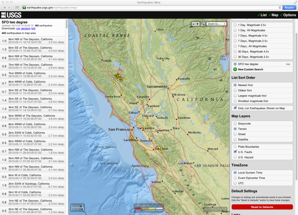
English: Example map from USGS for two-degree region near San Francisco, California |
| Date | |
| Source | Screen snapshot of USGS website page https://earthquake.usgs.gov/earthquakes/map/ |
| Author | Unknown author |
Licensing[edit]
This image is in the public domain in the United States because it only contains materials that originally came from the United States Geological Survey, an agency of the United States Department of the Interior. For more information, see the official USGS copyright policy.
|
File history
Click on a date/time to view the file as it appeared at that time.
| Date/Time | Thumbnail | Dimensions | User | Comment | |
|---|---|---|---|---|---|
| current | 05:59, 12 May 2013 |  | 1,398 × 1,012 (2.12 MB) | Leonard G. (talk | contribs) | User created page with UploadWizard |
You cannot overwrite this file.
File usage on Commons
There are no pages that use this file.