File:United States foreign service posts and Department of State jurisdictions, 1 January 1997 - (world map). LOC 2011589558.jpg
Jump to navigation
Jump to search

Size of this preview: 800 × 557 pixels. Other resolutions: 320 × 223 pixels | 640 × 446 pixels | 1,024 × 713 pixels | 1,280 × 891 pixels | 2,560 × 1,782 pixels | 16,482 × 11,475 pixels.
Original file (16,482 × 11,475 pixels, file size: 18.86 MB, MIME type: image/jpeg)
Captions
Captions
Add a one-line explanation of what this file represents
Summary[edit]
| Warning | The original file is very high-resolution. It might not load properly or could cause your browser to freeze when opened at full size. |
|---|
| Description |
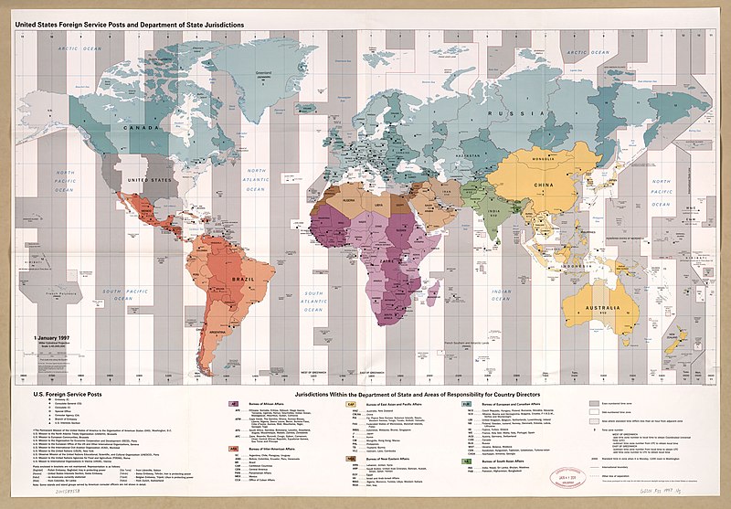
English: "802533 (R02268) 12-96." Also shows time zones. Includes listings of posts and missions. Available also through the Library of Congress Web site as a raster image. |
||
| Title | United States foreign service posts and Department of State jurisdictions, 1 January 1997 : [world map]. | ||
| Shelf ID | G3201.F55 1997 .U5 | ||
| Date | |||
| Source | https://www.loc.gov/item/2011589558/ | ||
| Author | United States. Central Intelligence Agency | ||
| Permission (Reusing this file) |
|
||
| Other versions |
|
||
| Location | Earth | ||
| Part of | American Memory · General Maps · Catalog · Geography And Map Division | ||
| Subject | World Maps · United States · Maps · Time · Earth · Systems And Standards · Diplomatic And Consular Service, American · Department Of State |


._LOC_2011589558.jpg&action=edit§ion=1)
Licensing[edit]
._LOC_2011589558.jpg&action=edit§ion=2)
| This image is a work of a Central Intelligence Agency employee, taken or made as part of that person's official duties. As a Work of the United States Government, this image or media is in the public domain in the United States.
|

|
File history
Click on a date/time to view the file as it appeared at that time.
| Date/Time | Thumbnail | Dimensions | User | Comment | |
|---|---|---|---|---|---|
| current | 07:14, 1 June 2018 | | 16,482 × 11,475 (18.86 MB) | Fæ (talk | contribs) | LOC Maps https://www.loc.gov/item/2011589558/ #16819 |
You cannot overwrite this file.
File usage on Commons
The following page uses this file:
._LOC_2011589558.jpg&oldid=797648657)