File:United States satellite view.png
Jump to navigation
Jump to search
Size of this preview: 800 × 508 pixels. Other resolutions: 320 × 203 pixels | 640 × 407 pixels | 1,024 × 650 pixels | 1,527 × 970 pixels.
Original file (1,527 × 970 pixels, file size: 1.25 MB, MIME type: image/png)
Captions
Captions
Add a one-line explanation of what this file represents
Summary[edit]
| Description |
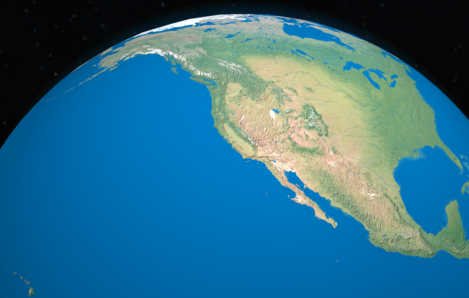
English: Digital rendering of the satellite view of the US.
This globe rendering is a screenshot from the Globe Master geography game, shared by the game authors. For the globe texture, Whole world - land and oceans composite image was used, created by NASA/Goddard Space Flight Center (public domain). |
| Date | |
| Source | Own work |
| Author | Globe Master - SideEffect |
This image has been originally created as an illustration to the United States Quiz on globalquiz.org and shared under the CC-BY 3.0 license.
Licensing[edit]
I, the copyright holder of this work, hereby publish it under the following license:
This file is licensed under the Creative Commons Attribution 3.0 Unported license.
- You are free:
- to share – to copy, distribute and transmit the work
- to remix – to adapt the work
- Under the following conditions:
- attribution – You must give appropriate credit, provide a link to the license, and indicate if changes were made. You may do so in any reasonable manner, but not in any way that suggests the licensor endorses you or your use.
File history
Click on a date/time to view the file as it appeared at that time.
| Date/Time | Thumbnail | Dimensions | User | Comment | |
|---|---|---|---|---|---|
| current | 15:14, 25 November 2015 | | 1,527 × 970 (1.25 MB) | Globe Master - SideEffect (talk | contribs) | User created page with UploadWizard |
You cannot overwrite this file.
File usage on Commons
There are no pages that use this file.