File:Uruguay Lavalleja map.svg
Jump to navigation
Jump to search

Size of this PNG preview of this SVG file: 568 × 600 pixels. Other resolutions: 227 × 240 pixels | 455 × 480 pixels | 727 × 768 pixels | 970 × 1,024 pixels | 1,939 × 2,048 pixels | 1,000 × 1,056 pixels.
Original file (SVG file, nominally 1,000 × 1,056 pixels, file size: 119 KB)
Captions
Captions
Add a one-line explanation of what this file represents
| Description |
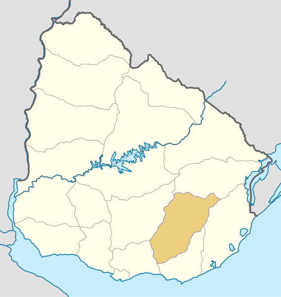
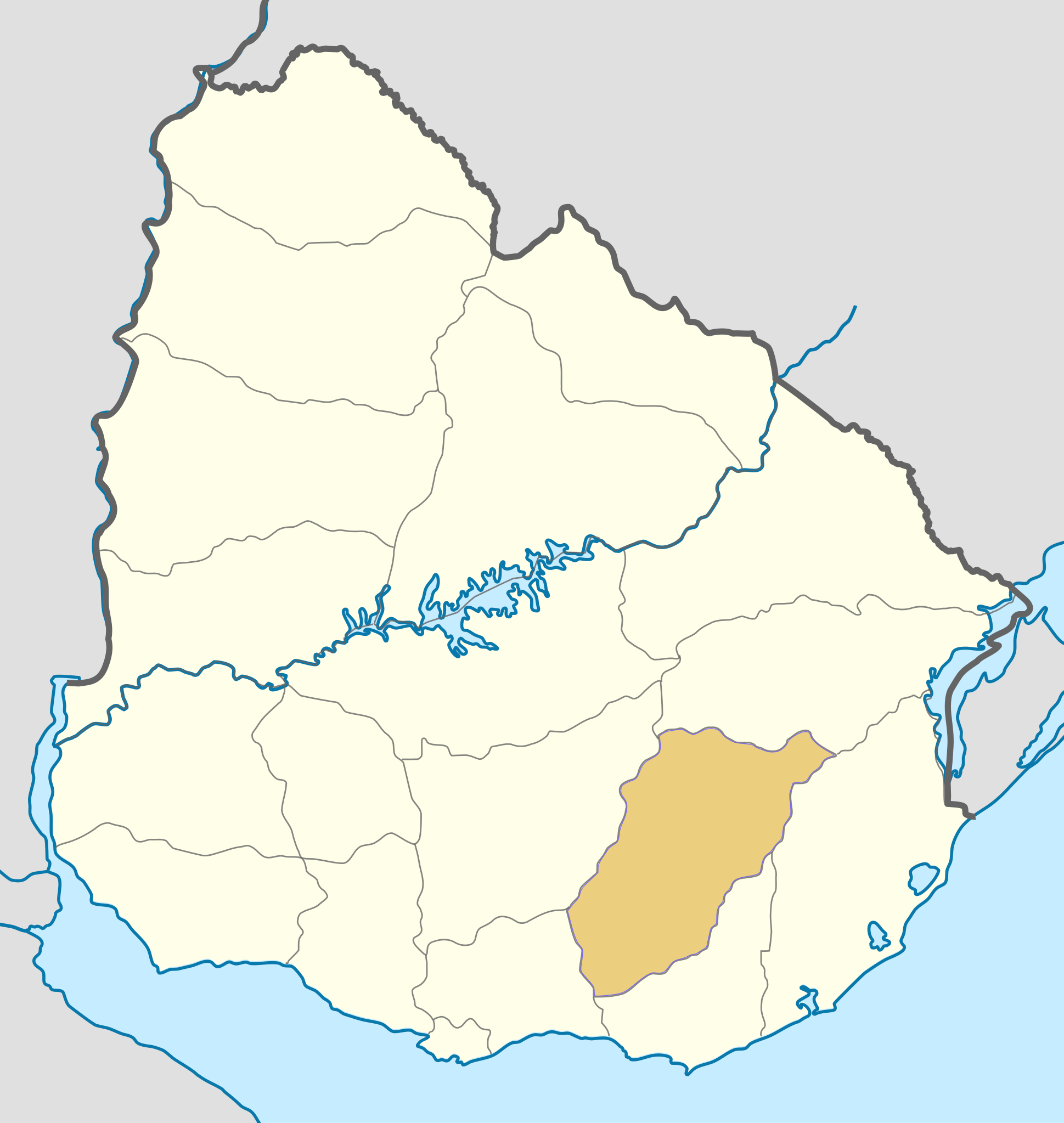
Deutsch: Positionskarte von Uruguay Quadratische Plattkarte, Geographische Begrenzung der Karte: * N: 29.86° S * S: 35.19° S * W: 58,71° W * O: 52,89° W English: Location map of Uruguay Equirectangular projection, Geographic limits of the map: * N: 29.86° S * S: 35.19° S * W: 58,71° W * E: 52,89° W |
| Date | (UTC) |
| Source | |
| Author |
|
| Other versions | Derivative works of this file: 1837 Uruguay Minas map.PNG |
| This is a retouched picture, which means that it has been digitally altered from its original version. Modifications: colored one department. The original can be viewed here: Uruguay location map.svg:
|
I, the copyright holder of this work, hereby publish it under the following license:
This file is licensed under the Creative Commons Attribution-Share Alike 3.0 Unported license.
- You are free:
- to share – to copy, distribute and transmit the work
- to remix – to adapt the work
- Under the following conditions:
- attribution – You must give appropriate credit, provide a link to the license, and indicate if changes were made. You may do so in any reasonable manner, but not in any way that suggests the licensor endorses you or your use.
- share alike – If you remix, transform, or build upon the material, you must distribute your contributions under the same or compatible license as the original.
Original upload log[edit]
This image is a derivative work of the following images:
- File:Uruguay_location_map.svg licensed with Cc-by-sa-3.0
- 2010-03-07T07:04:03Z Spischot 1000x1056 (116911 Bytes) Default size inceased
- 2009-10-25T22:26:19Z Spischot 344x363 (142575 Bytes) {{Information |Description={{de|Positionskarte von [[:de:Uruguay|Uruguay]]}} Quadratische Plattkarte, Geographische Begrenzung der Karte: * N: 29.86° S * S: 35.19° S * W: 58,71° W * O: 52,89° W {{en|Location map of
Uploaded with derivativeFX
File history
Click on a date/time to view the file as it appeared at that time.
| Date/Time | Thumbnail | Dimensions | User | Comment | |
|---|---|---|---|---|---|
| current | 15:20, 4 November 2010 | | 1,000 × 1,056 (119 KB) | Hoverfish (talk | contribs) | Improved fill detail |
| 13:17, 4 November 2010 |  | 1,000 × 1,056 (117 KB) | Hoverfish (talk | contribs) | {{Information |Description={{de|Positionskarte von Uruguay}} Quadratische Plattkarte, Geographische Begrenzung der Karte: * N: 29.86° S * S: 35.19° S * W: 58,71° W * O: 52,89° W {{en|Location map of Uruguay}} Equ |
You cannot overwrite this file.
File usage on Commons
The following page uses this file:
File usage on other wikis
The following other wikis use this file:
- Usage on cs.wikipedia.org
- Usage on en.wikipedia.org
- Usage on fr.wikipedia.org
- Usage on sk.wikipedia.org