File:Val Schizzola - panoramio.jpg
Jump to navigation
Jump to search

Size of this preview: 800 × 533 pixels. Other resolutions: 320 × 213 pixels | 640 × 427 pixels | 1,024 × 683 pixels | 1,500 × 1,000 pixels.
Original file (1,500 × 1,000 pixels, file size: 488 KB, MIME type: image/jpeg)
Captions
Captions
Add a one-line explanation of what this file represents
Summary[edit]
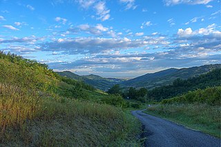
| Description | Val Schizzola | ||
| Date | Taken on 24 July 2011 | ||
| Source | https://web.archive.org/web/20161023171110/http://www.panoramio.com/photo/56201946 | ||
| Author | Terensky | ||
| Permission (Reusing this file) |
This file is licensed under the Creative Commons Attribution 3.0 Unported license. Attribution: Terensky
|
||
| Tags (from Panoramio photo page) | Montesegale, Lombardia, Montesegale, Oltrepo Pavese |
| Camera location | | View this and other nearby images on: OpenStreetMap |
|---|

File history
Click on a date/time to view the file as it appeared at that time.
| Date/Time | Thumbnail | Dimensions | User | Comment | |
|---|---|---|---|---|---|
| current | 05:50, 4 December 2016 | | 1,500 × 1,000 (488 KB) | Panoramio upload bot (talk | contribs) | == {{int:filedesc}} == {{Information |description=Val Schizzola |date={{Taken on|2011-07-24}} |source=http://www.panoramio.com/photo/56201946 |author=[http://www.panoramio.com/user/4616731?with_photo_id=56201946 Terensky] |permission={{cc-by-3.0|Terens... |
You cannot overwrite this file.
File usage on Commons
There are no pages that use this file.