File:View of CSMR room equipment status board and operators console with two phone links to MWOC in transmitter building no. 102. - Clear Air Force Station, Ballistic Missile Early Warning HAER AK-30-A-42.tif
Jump to navigation
Jump to search
Size of this JPG preview of this TIF file: 742 × 600 pixels. Other resolutions: 297 × 240 pixels | 594 × 480 pixels | 950 × 768 pixels | 1,267 × 1,024 pixels | 2,533 × 2,048 pixels | 5,141 × 4,157 pixels.
Original file (5,141 × 4,157 pixels, file size: 20.38 MB, MIME type: image/tiff)
Captions
Captions
Add a one-line explanation of what this file represents
Summary[edit]
| Photographer |
Sims, Gregory, creator |
|||
| Title |
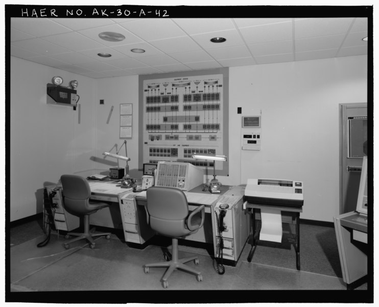
View of CSMR room equipment status board and operators console with two phone links to MWOC in transmitter building no. 102. - Clear Air Force Station, Ballistic Missile Early Warning System Site II, One mile west of mile marker 293.5 on Parks Highway, 5 miles southwest of Anderson, Anderson, Denali Borough, AK |
|||
| Depicted place | Alaska; Denali Borough; Anderson | |||
| Date | 2001 | |||
| Medium | 4 x 5 in. | |||
| Current location |
Library of Congress Prints and Photographs Division Washington, D.C. 20540 USA http://hdl.loc.gov/loc.pnp/pp.print |
|||
| Accession number |
HAER AK-30-A-42 |
|||
| Credit line |
|
|||
| Source | https://www.loc.gov/pictures/item/ak0486.photos.193527p | |||
| Permission (Reusing this file) |
|

| Camera location | | View this and other nearby images on: OpenStreetMap |
|---|
File history
Click on a date/time to view the file as it appeared at that time.
| Date/Time | Thumbnail | Dimensions | User | Comment | |
|---|---|---|---|---|---|
| current | 22:26, 26 June 2014 |  | 5,141 × 4,157 (20.38 MB) | Fæ (talk | contribs) | GWToolset: Creating mediafile for Fæ. HABS batch upload restart 26 June 2014 (p21:101)x |
You cannot overwrite this file.
File usage on Commons
The following page uses this file: