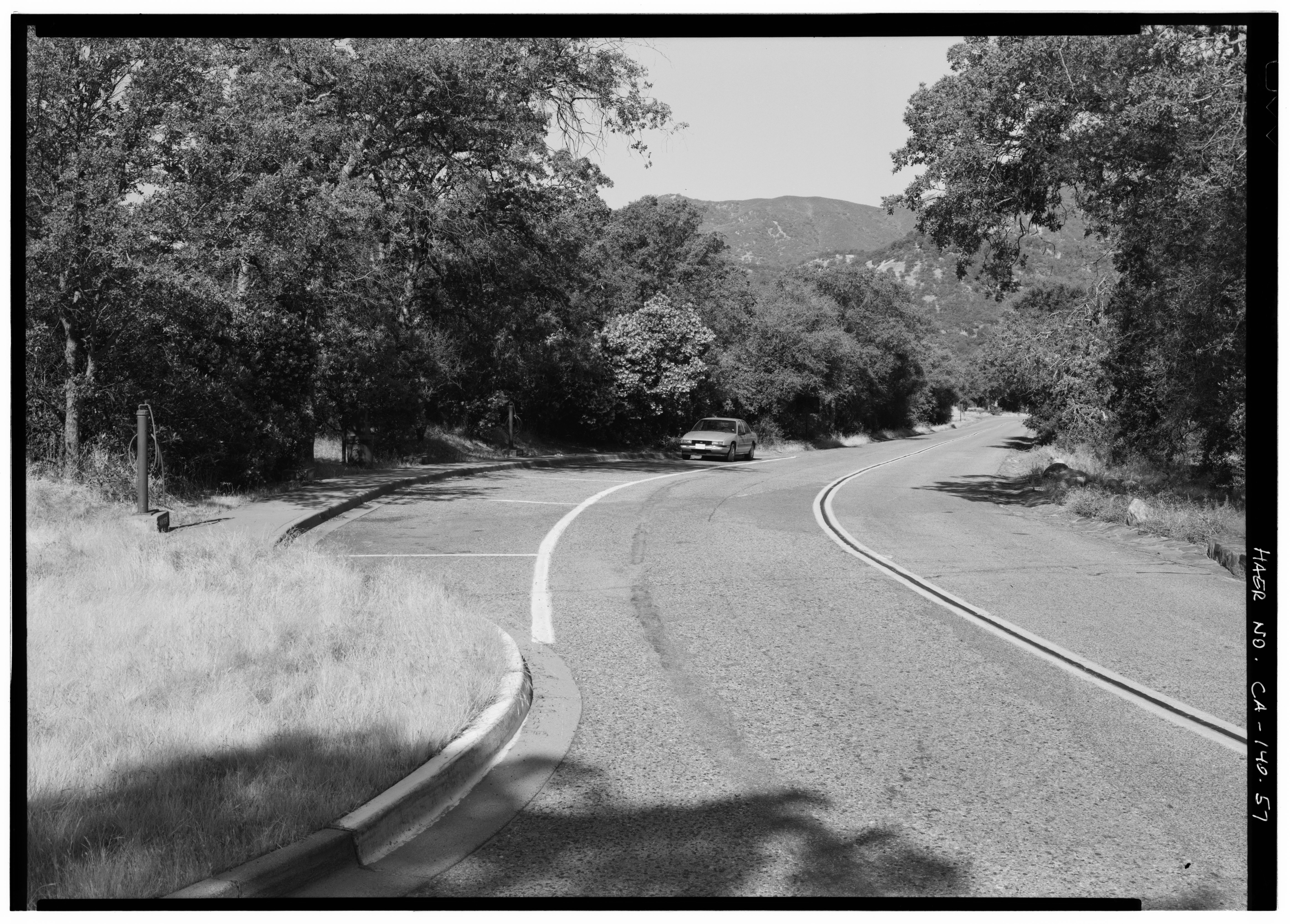
File:WATER STATION TURNOUT AT ASH MOUNTAIN. NOTE PUMP AND HOSE AT LEFT. PHOTO TAKEN FROM SAME POSITION AS PHOTO NO. 56, FACING WEST SOUTHWEST - Generals Highway, Three Rivers, HAER CAL,54-THRIV.V,2-57.tif
Jump to navigation
Jump to search

Size of this JPG preview of this TIF file: 800 × 573 pixels. Other resolutions: 320 × 229 pixels | 640 × 458 pixels | 1,024 × 733 pixels | 1,280 × 917 pixels | 2,560 × 1,833 pixels | 5,661 × 4,054 pixels.
Original file (5,661 × 4,054 pixels, file size: 21.89 MB, MIME type: image/tiff)
Captions
Captions
Add a one-line explanation of what this file represents
Summary[edit]
| WATER STATION TURNOUT AT ASH MOUNTAIN. NOTE PUMP AND HOSE AT LEFT. PHOTO TAKEN FROM SAME POSITION AS PHOTO NO. 56, FACING WEST SOUTHWEST - Generals Highway, Three Rivers, Tulare County, CA | ||||
|---|---|---|---|---|
| Photographer |
Grogan, Brian C., creator |
|||
| Title |
WATER STATION TURNOUT AT ASH MOUNTAIN. NOTE PUMP AND HOSE AT LEFT. PHOTO TAKEN FROM SAME POSITION AS PHOTO NO. 56, FACING WEST SOUTHWEST - Generals Highway, Three Rivers, Tulare County, CA |
|||
| Depicted place | California; Tulare County; Three Rivers | |||
| Date | 1993 | |||
| Dimensions | 5 x 7 in. | |||
| Current location |
Library of Congress Prints and Photographs Division Washington, D.C. 20540 USA http://hdl.loc.gov/loc.pnp/pp.print |
|||
| Accession number |
HAER CAL,54-THRIV.V,2-57 |
|||
| Credit line |
|
|||
| Source | https://www.loc.gov/pictures/item/ca1791.photos.322874p | |||
| Permission (Reusing this file) |
|
|||

| Camera location | | View this and other nearby images on: OpenStreetMap |
|---|
File history
Click on a date/time to view the file as it appeared at that time.
| Date/Time | Thumbnail | Dimensions | User | Comment | |
|---|---|---|---|---|---|
| current | 17:55, 4 July 2014 |  | 5,661 × 4,054 (21.89 MB) | Fæ (talk | contribs) | GWToolset: Creating mediafile for Fæ. HABS batch upload 2 July 2014 (301:400) |
You cannot overwrite this file.
File usage on Commons
The following page uses this file: