File:Wilmslow - farmland view from the North Cheshire Way - geograph.org.uk - 256362.jpg
From Wikimedia Commons, the free media repository
Jump to navigation
Jump to search
Wilmslow_-_farmland_view_from_the_North_Cheshire_Way_-_geograph.org.uk_-_256362.jpg (640 × 480 pixels, file size: 159 KB, MIME type: image/jpeg)
File information
Structured data
Captions
Summary[edit]
DescriptionWilmslow - farmland view from the North Cheshire Way - geograph.org.uk - 256362.jpg |
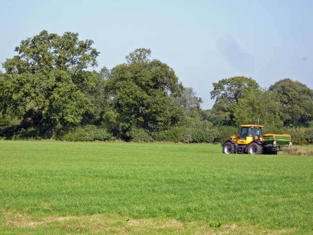
English: Wilmslow - farmland view from the North Cheshire Way Wilmslow: farmland view from the NCW - typical of the fairly flat farmland between the town and Alderley Edge. |
||
Date | |||
Source | From geograph.org.uk | ||
Author | Mike Harris | ||
Permission (Reusing this file) |
This file is licensed under the Creative Commons Attribution-Share Alike 2.0 Generic license. Attribution: Mike Harris
|
||
Attribution (required by the license) InfoField | Mike Harris / Wilmslow - farmland view from the North Cheshire Way / | ||
InfoField | Mike Harris / Wilmslow - farmland view from the North Cheshire Way |
Object location | 53° 18′ 38″ N, 2° 13′ 27″ W | View this and other nearby images on: OpenStreetMap | 53.310560; -2.224300 |
---|
File history
Click on a date/time to view the file as it appeared at that time.
Date/Time | Thumbnail | Dimensions | User | Comment | |
---|---|---|---|---|---|
current | 18:02, 25 August 2010 | 640 × 480 (159 KB) | GeographBot (talk | contribs) | == {{int:filedesc}} == {{Information |description={{en|1=Wilmslow - farmland view from the North Cheshire Way Wilmslow: farmland view from the NCW - typical of the fairly flat farmland between the town and Alderley Edge.}} |date=2006-09-21 |source=From [h |
You cannot overwrite this file.
File usage on Commons
There are no pages that use this file.
Metadata
This file contains additional information such as Exif metadata which may have been added by the digital camera, scanner, or software program used to create or digitize it. If the file has been modified from its original state, some details such as the timestamp may not fully reflect those of the original file. The timestamp is only as accurate as the clock in the camera, and it may be completely wrong.
Camera manufacturer | SONY |
---|---|
Camera model | DSC-P200 |
Exposure time | 1/80 sec (0.0125) |
F-number | f/10 |
ISO speed rating | 100 |
Date and time of data generation | 12:33, 21 September 2006 |
Lens focal length | 23.7 mm |
Horizontal resolution | 120 dpi |
Vertical resolution | 120 dpi |
Software used | Adobe Photoshop Elements 3.0 |
File change date and time | 19:06, 9 October 2006 |
Y and C positioning | Co-sited |
Exposure Program | Landscape mode (for landscape photos with the background in focus) |
Exif version | 2.2 |
Date and time of digitizing | 12:33, 21 September 2006 |
Image compression mode | 8 |
APEX exposure bias | 0 |
Maximum land aperture | 3 APEX (f/2.83) |
Metering mode | Pattern |
Light source | Daylight |
Flash | Flash did not fire, compulsory flash suppression |
Color space | Uncalibrated |
Custom image processing | Custom process |
Exposure mode | Auto exposure |
White balance | Manual white balance |
Scene capture type | Landscape |
Contrast | Normal |
Saturation | Normal |
Sharpness | Normal |
Structured data
Items portrayed in this file
depicts
some value
21 September 2006
53°18'38.02"N, 2°13'27.48"W
Hidden categories:
- CC-BY-SA-2.0
- Images from Geograph Britain and Ireland
- Images from Geograph Britain and Ireland missing SDC coordinates of the point of view
- Images from Geograph Britain and Ireland missing SDC MIME type
- Information field template with formatting
- Files with coordinates missing SDC location of creation
- United Kingdom photographs taken on 2006-09-21
- Pages with maps