File:Avenue V southwest of Columbus Junction.jpg
קפיצה לניווט
קפיצה לחיפוש
גודל התצוגה המקדימה הזאת: 800 × 450 פיקסלים. רזולוציות אחרות: 320 × 180 פיקסלים | 640 × 360 פיקסלים | 1,024 × 576 פיקסלים | 1,280 × 720 פיקסלים | 2,816 × 1,584 פיקסלים.
לקובץ המקורי (2,816 × 1,584 פיקסלים, גודל הקובץ: 1.39 מ"ב, סוג MIME: image/jpeg)
כיתובים
כיתובים
נא להוסיף משפט שמסביר מה הקובץ מייצג
|
This is an image of a place or building that is listed on the National Register of Historic Places in the United States of America. Its reference number is 98000512. |
| מיקום המצלמה | | תמונה זו ותמונות נוספות במיקום: OpenStreetMap |
|---|
| תיאור |
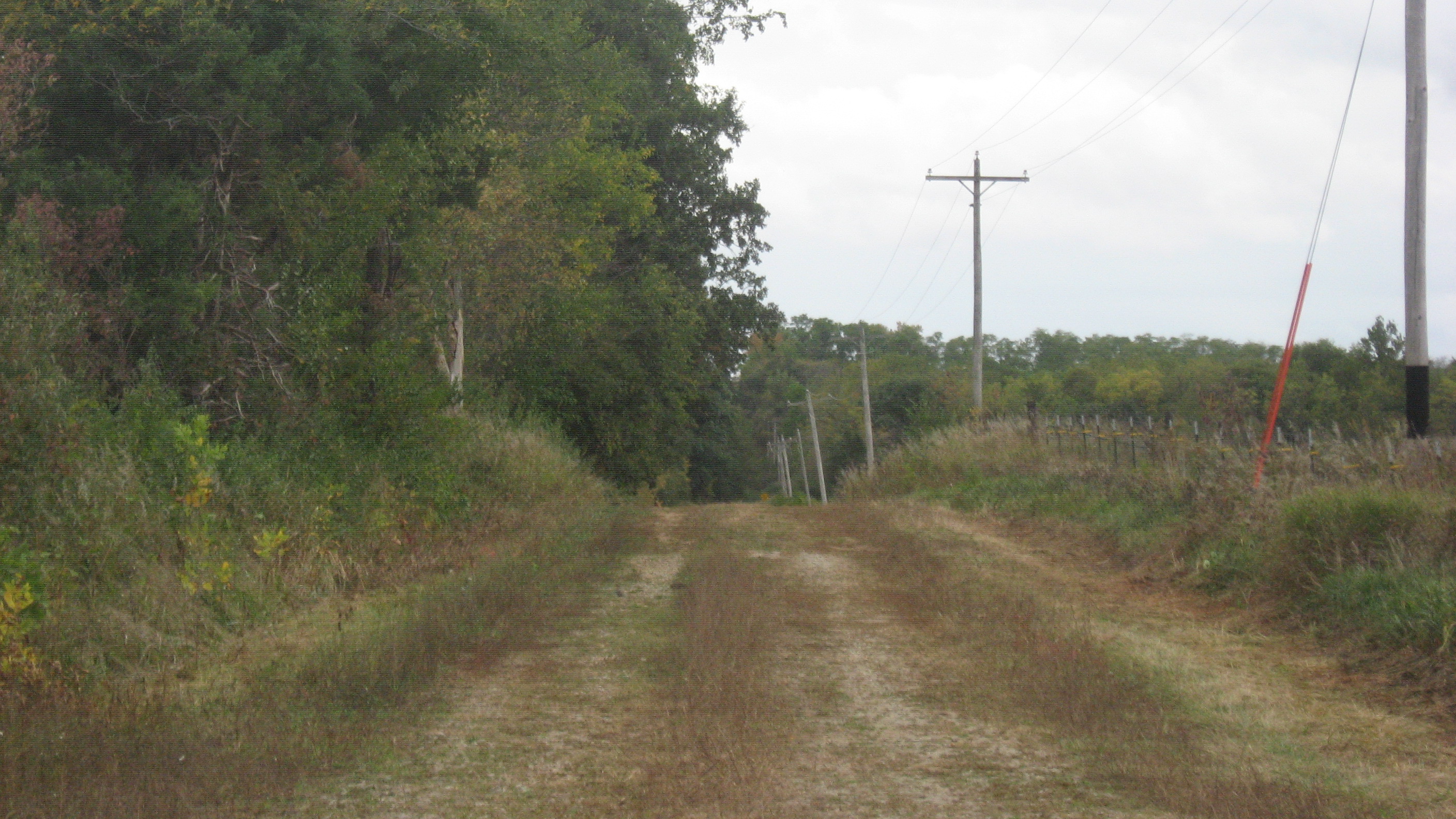
English: Looking southward along Avenue V from its junction with 105th Street southwest of Columbus Junction in Elm Grove Township, Louisa County, Iowa, United States. Not easily visible in the distance is the deteriorating Gipple's Quarry Bridge, which formerly carried the road over Buffington Creek; built in 1893, it is listed on the National Register of Historic Places. A closer view is not practical, as the road is effectively closed in both directions. |
||
| תאריך יצירה | צולם ב- 6 באוקטובר 2013 | ||
| מקור | נוצר על־ידי מעלה היצירה | ||
| יוצר | Nyttend | ||
| אישורים והיתרים (שימוש חוזר בקובץ זה) |
|
היסטוריית הקובץ
ניתן ללחוץ על תאריך/שעה כדי לראות את הקובץ כפי שנראה באותו זמן.
| תאריך/שעה | תמונה ממוזערת | ממדים | משתמש | הערה | |
|---|---|---|---|---|---|
| נוכחית | 21:47, 23 באוקטובר 2013 | | 1,584 × 2,816 (1.39 מ"ב) | Nyttend (שיחה | תרומות) | {{NRHP|98000512}} {{Location|41|12|44.5|N|91|24|32|W}} {{Information |Description={{en|Looking southward along Avenue V from its junction with 105th Street southwest of {{w|Columbus Junction, Iowa|Columbus Junction}} in {{w|Elm Grove Township, Louisa C... |
אין באפשרותך לדרוס את הקובץ הזה.
שימוש בקובץ
אין דפים המשתמשים בקובץ זה.
שימוש גלובלי בקובץ
אתרי הוויקי השונים הבאים משתמשים בקובץ זה:
- שימוש באתר en.wikipedia.org
- שימוש באתר www.wikidata.org