File:Az county map.png
קפיצה לניווט
קפיצה לחיפוש

גודל התצוגה המקדימה הזאת: 525 × 600 פיקסלים. רזולוציות אחרות: 210 × 240 פיקסלים | 568 × 649 פיקסלים.
לקובץ המקורי (568 × 649 פיקסלים, גודל הקובץ: 15 ק"ב, סוג MIME: image/png)
כיתובים
כיתובים
נא להוסיף משפט שמסביר מה הקובץ מייצג
תקציר[עריכה]
| תיאור |
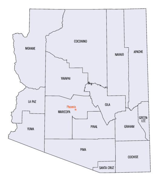
Arizona County Map Image source - [1] Was originally a gif. Converted to Az_county_map.png format. census.gov is a known en:public domain image resources. Image size 568 x 649px Disksize 15KB en:Category:Arizona maps |
||||||
| תאריך יצירה | Commons upload by Mdangers 16:52, 7 June 2006 (UTC) | ||||||
| מקור |
Originally from en.wikipedia; description page is (was) here
|
||||||
| יוצר | User Buster2058 on en.wikipedia | ||||||
| אישורים והיתרים (שימוש חוזר בקובץ זה) |
|
||||||
| גרסאות אחרות | Derivative works of this file: Az county map-2.png | ||||||
רישיון[עריכה]
This work is in the public domain in the United States because it is a work prepared by an officer or employee of the United States Government as part of that person’s official duties under the terms of Title 17, Chapter 1, Section 105 of the US Code.
Note: This only applies to original works of the Federal Government and not to the work of any individual U.S. state, territory, commonwealth, county, municipality, or any other subdivision. This template also does not apply to postage stamp designs published by the United States Postal Service since 1978. (See § 313.6(C)(1) of Compendium of U.S. Copyright Office Practices). It also does not apply to certain US coins; see The US Mint Terms of Use.
|
 | |
| הקובץ הזה זוהה כקובץ חופשי מכל מגבלה ידועה תחת חוק זכויות היוצרים, כולל כל הזכויות הקשורות והסמוכות. | ||
היסטוריית הקובץ
ניתן ללחוץ על תאריך/שעה כדי לראות את הקובץ כפי שנראה באותו זמן.
| תאריך/שעה | תמונה ממוזערת | ממדים | משתמש | הערה | |
|---|---|---|---|---|---|
| נוכחית | 16:52, 7 ביוני 2006 | | 649 × 568 (15 ק"ב) | Mdangers (שיחה | תרומות) | {{Information| |Description= Arizona County Map Image source - [http://quickfacts.census.gov/qfd/printmaps.html] Was originally a gif. Converted to Az_county_map.png format. census.gov is a known en:public domain image resources. Image size 568 x |
אין באפשרותך לדרוס את הקובץ הזה.
שימוש בקובץ
הדף הבא משתמש בקובץ הזה:
שימוש גלובלי בקובץ
אתרי הוויקי השונים הבאים משתמשים בקובץ זה:
- שימוש באתר ar.wikipedia.org
- שימוש באתר ca.wikipedia.org
- שימוש באתר cy.wikipedia.org
- שימוש באתר en.wikipedia.org
- שימוש באתר es.wikipedia.org
- שימוש באתר fo.wikipedia.org
- שימוש באתר frr.wikipedia.org
- שימוש באתר fr.wikipedia.org
- שימוש באתר he.wikipedia.org
- שימוש באתר incubator.wikimedia.org
- שימוש באתר it.wikipedia.org
- שימוש באתר ja.wikipedia.org
- שימוש באתר li.wikipedia.org
- שימוש באתר nl.wikipedia.org
- שימוש באתר no.wikipedia.org
- שימוש באתר pl.wikipedia.org
- שימוש באתר sv.wikipedia.org
- שימוש באתר www.wikidata.org
- שימוש באתר zh.wikipedia.org