File:France location map-Regions-2016.svg
קפיצה לניווט
קפיצה לחיפוש

גודל התצוגה המקדימה הזאת מסוג PNG של קובץ ה־SVG הזה: 624 × 600 פיקסלים. רזולוציות אחרות: 250 × 240 פיקסלים | 499 × 480 פיקסלים | 799 × 768 פיקסלים | 1,066 × 1,024 פיקסלים | 2,131 × 2,048 פיקסלים | 2,000 × 1,922 פיקסלים.
לקובץ המקורי (קובץ SVG, הגודל המקורי: 2,000 × 1,922 פיקסלים, גודל הקובץ: 230 ק"ב)
כיתובים
כיתובים
נא להוסיף משפט שמסביר מה הקובץ מייצג
תקציר
[עריכה]
| תיאור |
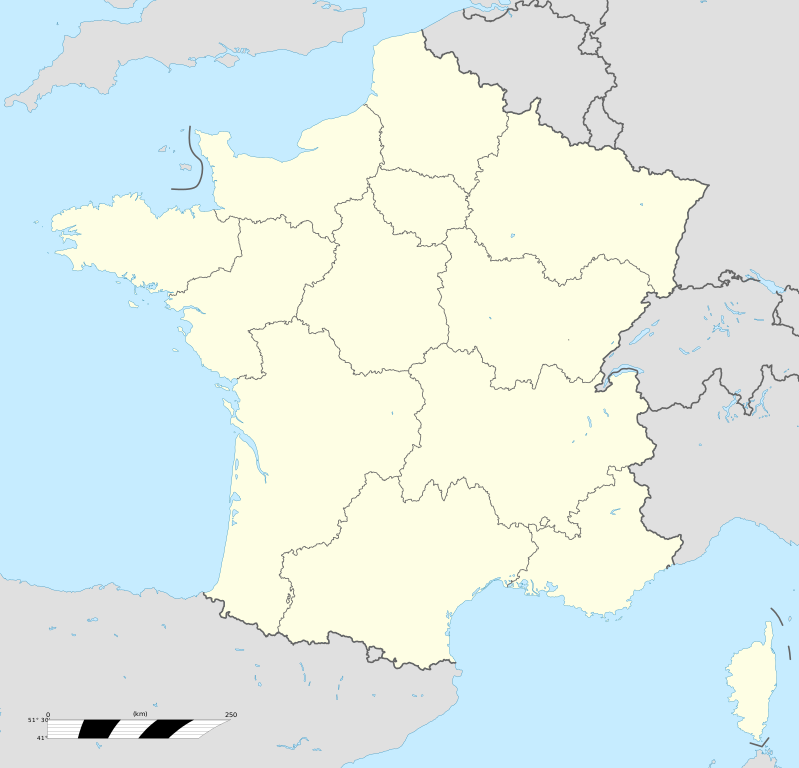
Français : Carte administrative vierge de la France destinée à la géolocalisation, avec régions.
Échelle approximative : 1:3 000 000
English: Blank administrative map of France for geo-location purpose, with regions.
Approximate scale : 1:3,000,000
Projection équirectangulaire, données WGS84
Limites géographiques de la carte :
|
| תאריך יצירה | |
| מקור |
קובץ זה הוא יצירה נגזרת של : France location map-Regions-2015.svg |
| יוצר | Superbenjamin |
| SVGהתפתחות |
רישיון
[עריכה]
אני, בעל זכויות היוצרים על עבודה זו, מפרסם בזאת את העבודה תחת הרישיון הבא:
הקובץ הזה מתפרסם לפי תנאי רישיון קריאייטיב קומונז ייחוס-שיתוף זהה 4.0 בין־לאומי.
- הנכם רשאים:
- לשתף – להעתיק, להפיץ ולהעביר את העבודה
- לערבב בין עבודות – להתאים את העבודה
- תחת התנאים הבאים:
- ייחוס – יש לתת ייחוס הולם, לתת קישור לרישיון, ולציין אם נעשו שינויים. אפשר לעשות את זה בכל צורה סבירה, אבל לא בשום צורה שמשתמע ממנה שמעניק הרישיון תומך בך או בשימוש שלך.
- שיתוף זהה – אם תיצרו רמיקס, תשנו, או תבנו על החומר, חובה עליכם להפיץ את התרומות שלך לפי תנאי רישיון זהה או תואם למקור.
היסטוריית הקובץ
ניתן ללחוץ על תאריך/שעה כדי לראות את הקובץ כפי שנראה באותו זמן.
| תאריך/שעה | תמונה ממוזערת | ממדים | משתמש | הערה | |
|---|---|---|---|---|---|
| נוכחית | 23:30, 30 בנובמבר 2021 | | 1,922 × 2,000 (230 ק"ב) | Puck04 (שיחה | תרומות) | fixed SVG code (was "W3C-invalid") + cleanup using text editor |
| 13:48, 19 באוקטובר 2017 |  | 1,922 × 2,000 (280 ק"ב) | Sting (שיחה | תרומות) | No borders over the Lake of Constance | |
| 09:11, 2 בינואר 2016 |  | 1,922 × 2,000 (274 ק"ב) | Superbenjamin (שיחה | תרומות) | User created page with UploadWizard |
אין באפשרותך לדרוס את הקובץ הזה.
שימוש בקובץ
הדפים הבאים משתמשים בקובץ הזה:
- User:STyx/Test
- Commons:Files used on Wikimedia Österreich Mitglieder/1
- File:France (fond de carte).png
- File:France South West relief location map.jpg
- File:France location map-Departements-2015+ROM.svg
- File:France location map-Departements-2015.svg
- File:France location map-Departements 1997-2014.svg
- File:France location map-Powdery mildew.svg
- File:France location map-Regions.svg (הפניה של קובץ)
- File:France relief location map.jpg
- File:France location map-Departements 1997-2014.svg
- File:France location map-Regions and departements 1975-2014.svg
- File:France location map-Powdery mildew.svg
- User:STyx/Test
- File:France (fond de carte).png
- File:Régions françaises (fond de carte).png
- File:France location map-Departements-2015.svg
- File:France location map-Regions and departements-2015.svg
- File:France South West relief location map.jpg
- File:France location map-Departements-2015+ROM.svg
- File:French presidential election (1. round) results (including overseas) by departament, 2017.svg
- Commons:Files used on Wikimedia Österreich Mitglieder/1
- File:France location map-Regions and departements-2015.svg
- File:France location map-Regions and departements-2016.svg
- File:France location map-Regions and departements 1975-2014.svg
- File:France relief location map.jpg
- File:French presidential election (1. round) results (including overseas) by departament, 2017.svg
- File:Régions françaises (fond de carte).png
.png)
.png)
_results_(including_overseas)_by_departament,_2017.svg)
שימוש גלובלי בקובץ
אתרי הוויקי השונים הבאים משתמשים בקובץ זה:
- שימוש באתר de.wikipedia.org
- שימוש באתר el.wikipedia.org
- שימוש באתר en.wikipedia.org
- שימוש באתר fr.wikipedia.org
- Catégorie:Économie en France par région
- Championnat de France de rugby à XV
- Championnat de France féminin de football
- Catégorie:Sport en France
- Catégorie:Club sportif en France
- Zénith (salle de spectacle)
- Catégorie:Club de handball en France
- Catégorie:Politique en France par région
- Saint-Lambert-du-Lattay
- Catégorie:Géographie de la France par région
- Catégorie:Personnalité liée à une région en France
- Catégorie:Sport en Guadeloupe
- Catégorie:Sport en Guyane
- Catégorie:Histoire de France par région
- Catégorie:Sport en Martinique
- Catégorie:Club sportif en Guyane
- Catégorie:Club sportif en Martinique
- Catégorie:Personnalité politique liée à une région en France
- Catégorie:Sport en Île-de-France
- Catégorie:Sport en Corse
- Catégorie:Entreprise ayant son siège en France par région
- Catégorie:Sport en région Occitanie
- Catégorie:Sport dans le Grand Est
- Catégorie:Sport en Bourgogne-Franche-Comté
- Catégorie:Sport en Nouvelle-Aquitaine
- Catégorie:Sport en Provence-Alpes-Côte d'Azur
- Catégorie:Sport en Bretagne
- Championnat de France féminin de football de deuxième division
- Catégorie:Sport à Mayotte
- Catégorie:Conseiller régional par région
- Catégorie:Média en France par région
- Championnat de France de football
- Catégorie:Club de rugby à XV en France par région
- Alinéa (enseigne)
- Catégorie:Commune en France par région
- Catégorie:Club de futsal en France
- Catégorie:Bière française par région
- Catégorie:Sport à La Réunion
- Catégorie:Naissance en France par région
- Utilisateur:Wikisoft*/Cartes
צפייה בשימושים גלובליים נוספים של קובץ זה.