File:Location map Sudan2.png
קפיצה לניווט
קפיצה לחיפוש
אין גרסה ברזולוציה גבוהה יותר.
Location_map_Sudan2.png (466 × 600 פיקסלים, גודל הקובץ: 63 ק"ב, סוג MIME: image/png)
כיתובים
כיתובים
נא להוסיף משפט שמסביר מה הקובץ מייצג
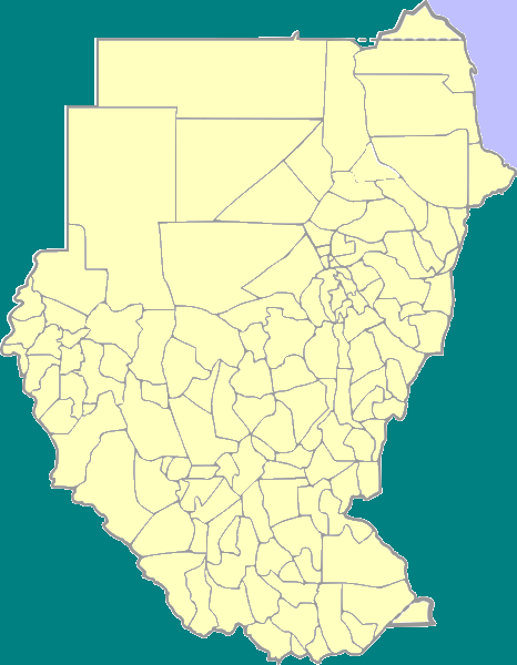
| תיאור | Positionmap with districts of Sudan for use in templates | ||
| תאריך יצירה | |||
| מקור | own work, based on Image:Sudan district map.svg | ||
| יוצר | Blofeld | ||
| אישורים והיתרים (שימוש חוזר בקובץ זה) |
|
היסטוריית הקובץ
ניתן ללחוץ על תאריך/שעה כדי לראות את הקובץ כפי שנראה באותו זמן.
| תאריך/שעה | תמונה ממוזערת | ממדים | משתמש | הערה | |
|---|---|---|---|---|---|
| נוכחית | 19:47, 22 במאי 2008 | | 600 × 466 (63 ק"ב) | Dr. Blofeld~commonswiki (שיחה | תרומות) | {{Information |Description=Positionmap with districts of Sudan for use in templates |Source=own work, based on Image:Sudan district map.svg |Date=March 14 2008 |Author=Blofeld |Permission={{PD-self}} |other_versions= }} [[Category:Maps of Sudan for |
אין באפשרותך לדרוס את הקובץ הזה.
שימוש בקובץ
אין דפים המשתמשים בקובץ זה.