File:Norfolk Island location map.svg
קפיצה לניווט
קפיצה לחיפוש

גודל התצוגה המקדימה הזאת מסוג PNG של קובץ ה־SVG הזה: 609 × 599 פיקסלים. רזולוציות אחרות: 244 × 240 פיקסלים | 488 × 480 פיקסלים | 780 × 768 פיקסלים | 1,040 × 1,024 פיקסלים | 2,081 × 2,048 פיקסלים | 1,201 × 1,182 פיקסלים.
לקובץ המקורי (קובץ SVG, הגודל המקורי: 1,201 × 1,182 פיקסלים, גודל הקובץ: 88 ק"ב)
כיתובים
כיתובים
נא להוסיף משפט שמסביר מה הקובץ מייצג
תקציר
[עריכה]
| תיאור |
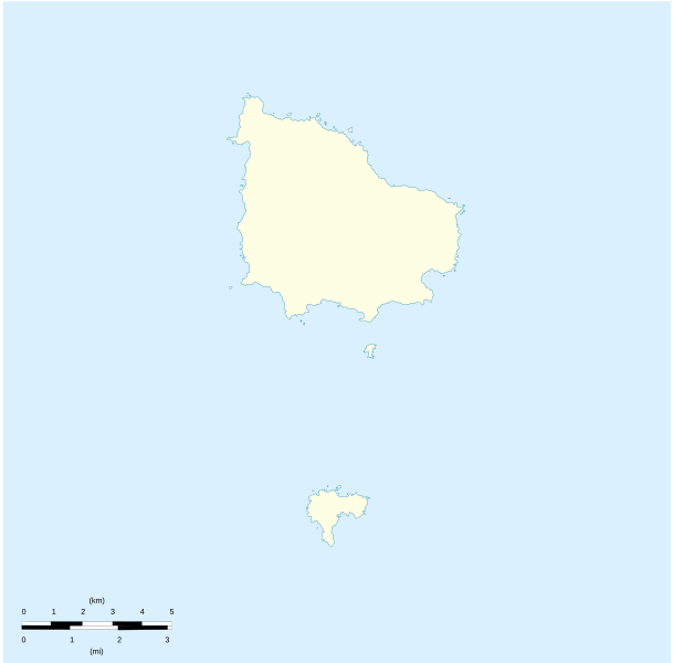
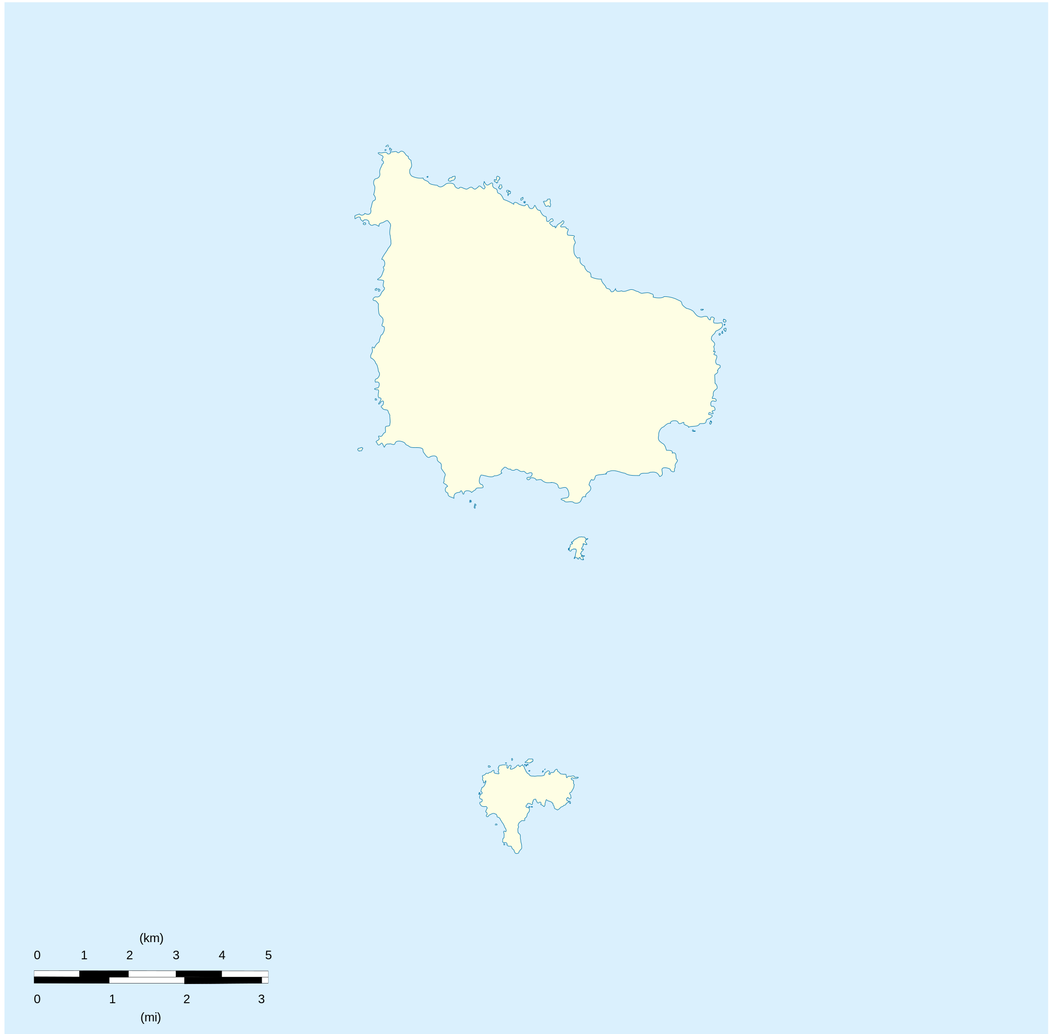
English: Location map of Norfolk_Island
Equirectangular projection. Geographic limits of the map:
Français : Carte de localisation des Île Norfolk
projection equirectangulaire. Les limites géographiques sont
|
| תאריך יצירה | |
| מקור |
נוצר על־ידי מעלה היצירה Détail de la carte Norfolk Island [1] Détail de la carte Nepean Island [2] Détail de la carte Philip Island [3] |
| יוצר | Xfigpower |
רישיון
[עריכה]
אני, בעל זכויות היוצרים על היצירה הזאת, מפרסם אותה בזאת תחת הרישיונות הבאים:

|
מוענקת בכך הרשות להעתיק, להפיץ או לשנות את המסמך הזה, לפי תנאי הרישיון לשימוש חופשי במסמכים של גנו, גרסה 1.2 או כל גרסה מאוחרת יותר שתפורסם על־ידי המוסד לתוכנה חופשית; ללא פרקים קבועים, ללא טקסט עטיפה קדמית וללא טקסט עטיפה אחורית. עותק של הרישיון כלול בפרק שכותרתו הרישיון לשימוש חופשי במסמכים של גנו. |
הקובץ הזה מתפרסם לפי תנאי רישיון קריאייטיב קומונז ייחוס 3.0 לא מותאם.
- הנכם רשאים:
- לשתף – להעתיק, להפיץ ולהעביר את העבודה
- לערבב בין עבודות – להתאים את העבודה
- תחת התנאים הבאים:
- ייחוס – יש לתת ייחוס הולם, לתת קישור לרישיון, ולציין אם נעשו שינויים. אפשר לעשות את זה בכל צורה סבירה, אבל לא בשום צורה שמשתמע ממנה שמעניק הרישיון תומך בך או בשימוש שלך.
הנכם מוזמנים לבחור את הרישיון הרצוי בעיניכם.
היסטוריית הקובץ
ניתן ללחוץ על תאריך/שעה כדי לראות את הקובץ כפי שנראה באותו זמן.
| תאריך/שעה | תמונה ממוזערת | ממדים | משתמש | הערה | |
|---|---|---|---|---|---|
| נוכחית | 20:41, 10 באוגוסט 2010 | | 1,182 × 1,201 (88 ק"ב) | Xfigpower (שיחה | תרומות) | {{Information |Description={{en|1=Location map of Norfolk_Island|}} Equirectangular projection. Geographic limits of the map: * N: 28°58' S * S: 29°10' S * W: 167°52' E * E: 168°02 E}} {{fr|1=Location map of [[:en:Norf |
אין באפשרותך לדרוס את הקובץ הזה.
שימוש בקובץ
הדפים הבאים משתמשים בקובץ הזה:
- File:Australia (+overseas +Antarctica), administrative divisions - Nmbrs - colored (zoom).svg
- File:Australia (+overseas +Antarctica), administrative divisions - Nmbrs - monochrome (zoom).svg
- File:Australia (+overseas +Antarctica), administrative divisions - de - colored (zoom).svg
- File:Australia (+overseas +Antarctica), administrative divisions - de - monochrome (zoom).svg
- File:Australia (+overseas -Antarctica), administrative divisions - Nmbrs - colored (zoom).svg
- File:Australia (+overseas -Antarctica), administrative divisions - Nmbrs - monochrome (zoom).svg
- File:Australia (+overseas -Antarctica), administrative divisions - de - colored (zoom).svg
- File:Australia (+overseas -Antarctica), administrative divisions - de - monochrome (zoom).svg
- Category:Biota of Norfolk Island
- Category:Environment of Norfolk Island
- Category:Flora of Norfolk Island
- Category:History of Norfolk Island
- Category:Maps of Norfolk Island
- Category:Norfolk Island
- Category:Norfolk Island by decade
- Category:Norfolk Island in the 2000s
- Category:Norfolk Island in the 2010s
- Category:People of Norfolk Island
,_administrative_divisions_-_Nmbrs_-_colored_(zoom).svg)
,_administrative_divisions_-_Nmbrs_-_monochrome_(zoom).svg)
,_administrative_divisions_-_de_-_colored_(zoom).svg)
,_administrative_divisions_-_de_-_monochrome_(zoom).svg)
,_administrative_divisions_-_Nmbrs_-_colored_(zoom).svg)
,_administrative_divisions_-_Nmbrs_-_monochrome_(zoom).svg)
,_administrative_divisions_-_de_-_colored_(zoom).svg)
,_administrative_divisions_-_de_-_monochrome_(zoom).svg)
שימוש גלובלי בקובץ
אתרי הוויקי השונים הבאים משתמשים בקובץ זה:
- שימוש באתר af.wikipedia.org
- שימוש באתר ar.wikipedia.org
- שימוש באתר ast.wikipedia.org
- שימוש באתר ba.wikipedia.org
- שימוש באתר be-tarask.wikipedia.org
- שימוש באתר be.wikipedia.org
- שימוש באתר bg.wikipedia.org
- שימוש באתר ceb.wikipedia.org
- Plantilya:Location map Australia Norfolk Island
- Rocky Point
- White Rock
- Bird Rock
- South Rock
- Ross Point
- Flat Rock
- Stockyard Creek
- Mount Pitt
- Cascade Bay
- Mount Bates
- Anson Bay
- Kingston
- Hunter Point
- Cascade Creek
- Ball Bay
- Nepean Island
- Collins Head
- Creswell Bay
- Emily Bay
- Jacobs Rock
- Sydney Bay
- Town Creek
- Watermill Creek
- Point Vincent
- Rocky Point Creek
- Norfolk Island (pagklaro)
- Point Howe
- Broken Bridge Creek
- Bradley Rocks
- Anson Point
- Norfolk Ridge
- Point Vincent (punta)
- Sydney Bay (luuk sa Norfolk Island, lat -29,07, long 167,95)
- Steels Point
- Point Ross
- Rocky Point (punta sa Pulo sa Norfolk)
צפייה בשימושים גלובליים נוספים של קובץ זה.