File:Ptolemy, Terra Sancta XXIII nova tabula (FL6882570 2368937).jpg
קפיצה לניווט
קפיצה לחיפוש
גודל התצוגה המקדימה הזאת: 745 × 600 פיקסלים. רזולוציות אחרות: 298 × 240 פיקסלים | 596 × 480 פיקסלים | 954 × 768 פיקסלים | 1,272 × 1,024 פיקסלים | 2,544 × 2,048 פיקסלים | 2,750 × 2,214 פיקסלים.
לקובץ המקורי (2,750 × 2,214 פיקסלים, גודל הקובץ: 2.97 מ"ב, סוג MIME: image/jpeg)
כיתובים
כיתובים
נא להוסיף משפט שמסביר מה הקובץ מייצג
תקציר
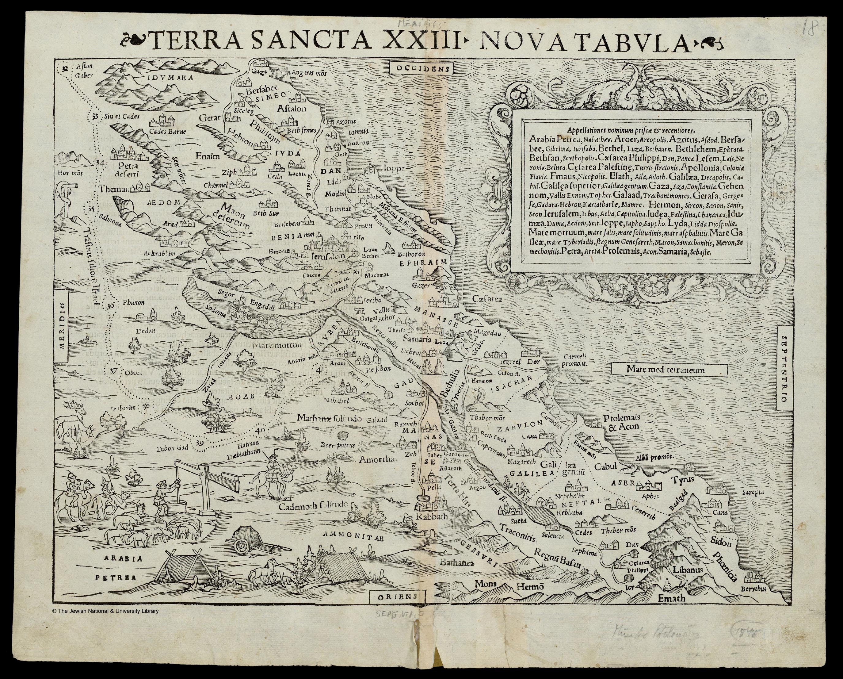
[עריכה]| תלמי: Terra Sancta XXIII nova tabula
( |
||||||||||||||||||||||||
|---|---|---|---|---|---|---|---|---|---|---|---|---|---|---|---|---|---|---|---|---|---|---|---|---|
| אומן |
| |||||||||||||||||||||||
| יוצרים נוספים | Münster, Sebastian, 1489-1552 Petri, Heinrich, 1508-1579 | |||||||||||||||||||||||
| כותרת |
Terra Sancta XXIII nova tabula |
|||||||||||||||||||||||
| מפרסם |
Henricus Petri |
|||||||||||||||||||||||
| תיאור |
Terra Sancta XXIII nova tabula. |
|||||||||||||||||||||||
| שפה | לטינית | |||||||||||||||||||||||
| תאריך הוצאה לאור | 1545 | |||||||||||||||||||||||
| ממדים | גובה: 255 מ"מ; רוחב: 345 מ"מ | |||||||||||||||||||||||
| אוסף |
|
|||||||||||||||||||||||
| מיקום נוכחי |
|
|||||||||||||||||||||||
| מיקום הוצאה | בזל | |||||||||||||||||||||||
| חיפוש בקטלוג מרחב | בזל | |||||||||||||||||||||||
| הערות | Woodcut; From: Ptolemaeus, Claudius, Geographia, (Basileae: Per Henricum Petrum, 1545), map no.51. This atlas is a reprint of Münster's 1540 and 1542 editions. The same, only the title differs slightly | |||||||||||||||||||||||
| IE PID | IE6882568 | |||||||||||||||||||||||
| רוזטה שם קובץ | FL6882570 | |||||||||||||||||||||||
| מזהה רשומה בספרייה הלאומית (P3959) | 990023689370205171 | |||||||||||||||||||||||
| חיפוש בקטלוג מרחב | לטינית, תלמי | |||||||||||||||||||||||
| חיפוש בקטלוג מרחב | Twelve tribes of IsraelMapsHenricus Petri | |||||||||||||||||||||||
| מקור/צלם |
|
|||||||||||||||||||||||
| גרסאות אחרות | ||||||||||||||||||||||||
| Jpg / Tif version |
|
|||||||||||||||||||||||


.jpg)

.jpg&action=edit§ion=1)
רישיון
[עריכה].jpg&action=edit§ion=2)
The copyright situation of this work is theoretically uncertain, because in the country of origin copyright lasts 70 years after the death of the author, and the date of the author's death is unknown. However, the date of creation of the work was over 120 years ago, and it is thus a reasonable assumption that the copyright has expired (see here for the community discussion). Do not use this template if the date of death of the author is known.
| |
| הקובץ הזה זוהה כקובץ חופשי מכל מגבלה ידועה תחת חוק זכויות היוצרים, כולל כל הזכויות הקשורות והסמוכות. | |
היסטוריית הקובץ
ניתן ללחוץ על תאריך/שעה כדי לראות את הקובץ כפי שנראה באותו זמן.
| תאריך/שעה | תמונה ממוזערת | ממדים | משתמש | הערה | |
|---|---|---|---|---|---|
| נוכחית | 21:57, 28 ביולי 2023 | | 2,214 × 2,750 (2.97 מ"ב) | Geagea (שיחה | תרומות) | pattypan 22.03 |
אין באפשרותך לדרוס את הקובץ הזה.
שימוש בקובץ
הדף הבא משתמש בקובץ הזה:
.jpg&oldid=850868916)