File:Soldier Field Chicago aerial view.jpg
קפיצה לניווט
קפיצה לחיפוש

גודל התצוגה המקדימה הזאת: 753 × 599 פיקסלים. רזולוציות אחרות: 302 × 240 פיקסלים | 603 × 480 פיקסלים | 965 × 768 פיקסלים | 1,280 × 1,019 פיקסלים | 1,500 × 1,194 פיקסלים.
לקובץ המקורי (1,500 × 1,194 פיקסלים, גודל הקובץ: 606 ק"ב, סוג MIME: image/jpeg)
כיתובים
כיתובים
נא להוסיף משפט שמסביר מה הקובץ מייצג
| תיאור |
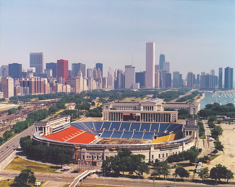
English: Aerial view of Soldier Field and the skyline of Chicago, Illinois, USA. |
|||
| תאריך יצירה | ||||
| מקור |
U.S. Army Corps of Engineers Digital Visual Library Image page Image description page Digital Visual Library home page |
|||
| יוצר | Dale Fisher, U.S. Army Corps of Engineers | |||
| אישורים והיתרים (שימוש חוזר בקובץ זה) |
|
|||
| גרסאות אחרות | ||||
| מיקום | Chicago, Illinois, USA |
.jpg)
| מיקום המצלמה | | תמונה זו ותמונות נוספות במיקום: OpenStreetMap |
|---|
היסטוריית הקובץ
ניתן ללחוץ על תאריך/שעה כדי לראות את הקובץ כפי שנראה באותו זמן.
| תאריך/שעה | תמונה ממוזערת | ממדים | משתמש | הערה | |
|---|---|---|---|---|---|
| נוכחית | 00:26, 1 באפריל 2007 | | 1,194 × 1,500 (606 ק"ב) | DanMS (שיחה | תרומות) | {{Information | Description = {{en|Aerial view of Soldier Field and the skyline of Chicago, Illinois, USA.}} | Source = U.S. Army Corps of Engineers Digital Visual Library<br />[http://images.usace.army.mil/images/Hires/LRE0016.jpg Image page]< |
אין באפשרותך לדרוס את הקובץ הזה.
שימוש בקובץ
הדפים הבאים משתמשים בקובץ הזה:
שימוש גלובלי בקובץ
אתרי הוויקי השונים הבאים משתמשים בקובץ זה:
- שימוש באתר af.wikipedia.org
- שימוש באתר als.wikipedia.org
- שימוש באתר am.wikipedia.org
- שימוש באתר ast.wikipedia.org
- שימוש באתר bg.wikipedia.org
- שימוש באתר bs.wikipedia.org
- שימוש באתר ca.wikipedia.org
- שימוש באתר de.wikipedia.org
- שימוש באתר el.wikipedia.org
- שימוש באתר en.wikipedia.org
- שימוש באתר es.wikipedia.org
- שימוש באתר fa.wikipedia.org
- שימוש באתר fr.wikipedia.org
- שימוש באתר fy.wikipedia.org
- שימוש באתר he.wikipedia.org
- שימוש באתר hi.wikipedia.org
- שימוש באתר hu.wikipedia.org
- שימוש באתר hy.wikipedia.org
- שימוש באתר id.wikipedia.org
- שימוש באתר it.wikipedia.org
- שימוש באתר ja.wikipedia.org
- שימוש באתר ka.wikipedia.org
- שימוש באתר kn.wikipedia.org
- שימוש באתר ko.wikipedia.org
צפייה בשימושים גלובליים נוספים של קובץ זה.
מטא־נתונים
קטגוריות:
- Chicago skyline in 1988
- Aerial views of Chicago
- Soldier Field in 1988
- Soldier Field colonnades
- Chicago Park District Administration Building (425 East McFetridge Drive)
- Chase Tower (Chicago)
- CNA Center
- One Prudential Plaza
- 875 North Michigan Avenue
- Smurfit-Stone Building
- Mid-Continental Plaza
- Chicago Hilton & Towers
- Lake Shore Drive
- Monroe Harbor
- The Buckingham (Chicago)
- Harbor Point Tower
- Metropolitan Tower (Chicago)
- Grant Park (Chicago)
- Onterie Center
- South entrance of Field Museum
- October 1988 in Chicago