File:Syria adm location map.svg

Tập tin gốc (tập tin SVG, 921×806 điểm ảnh trên danh nghĩa, kích thước: 274 kB)
Chú thích
Chú thích
Miêu tả
[sửa]| Miêu tả |
Deutsch: Positionskarte von Syrien
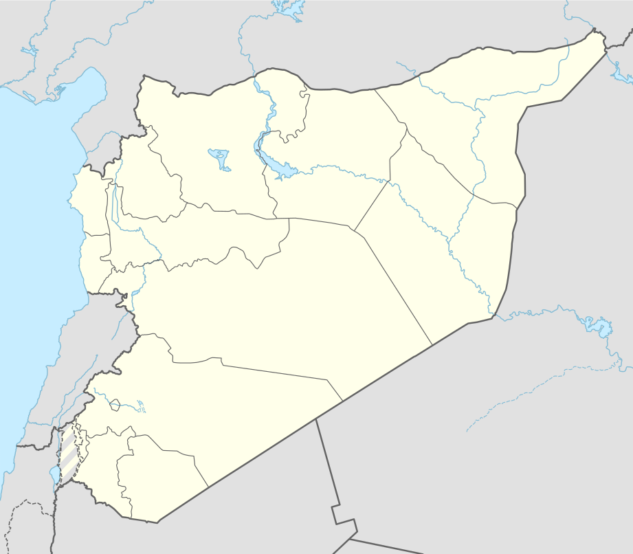
English: Location map of Syria
|
||||||||||||
| Ngày | |||||||||||||
| Nguồn gốc |
Own work using:
|
||||||||||||
| Tác giả | NordNordWest | ||||||||||||
| SVG genesis | This map was created with Generator: NordNordWest.
|
||||||||||||

Giấy phép
[sửa]
Usage of this file with:

explanatory notes: Legally binding is only the full legalcode. For a free usage I recommend to respect the following licence conditions:
1. Provide my name as given above: NordNordWest,
2. a copy of, or the URI for, the applicable license: https://creativecommons.org/licenses/by-sa/3.0/de/legalcode,
3. the title of the work,
4. in the case of an adaptation, a credit identifying the use of the work in the adaptation.
This license and the rights granted hereunder will terminate automatically upon any breach by you of the terms of this license. Any of the above conditions can be waived if you get permission from the copyright holder. If you have questions or wish differing conditions, please contact me through nnwest or my discussion page ![]() t-online.de
t-online.de
- Bạn được phép:
- chia sẻ – sao chép, phân phối và chuyển giao tác phẩm
- pha trộn – để chuyển thể tác phẩm
- Theo các điều kiện sau:
- ghi công – Bạn phải ghi lại tác giả và nguồn, liên kết đến giấy phép, và các thay đổi đã được thực hiện, nếu có. Bạn có thể làm các điều trên bằng bất kỳ cách hợp lý nào, miễn sao không ám chỉ rằng người cho giấy phép ủng hộ bạn hay việc sử dụng của bạn.
- chia sẻ tương tự – Nếu bạn biến tấu, biến đổi, hoặc làm tác phẩm khác dựa trên tác phẩm này, bạn chỉ được phép phân phối tác phẩm mới theo giấy phép y hệt hoặc tương thích với tác phẩm gốc.

Lịch sử tập tin
Nhấn vào ngày/giờ để xem nội dung tập tin tại thời điểm đó.
| Ngày/Giờ | Hình xem trước | Kích cỡ | Thành viên | Miêu tả | |
|---|---|---|---|---|---|
| hiện tại | 14:05, ngày 18 tháng 11 năm 2022 | | 921×806 (274 kB) | GrandEscogriffe (thảo luận | đóng góp) | more correct N/S stretching |
| 11:51, ngày 27 tháng 4 năm 2021 |  | 921×761 (190 kB) | NordNordWest (thảo luận | đóng góp) | Reverted to version as of 21:21, 26 April 2021 (UTC), COM:OW | |
| 08:54, ngày 27 tháng 4 năm 2021 |  | 512×423 (117 kB) | ויקי4800 (thảo luận | đóng góp) | ImReverted to version as of 18:19, 26 April 2021 (UTC) | |
| 21:21, ngày 26 tháng 4 năm 2021 |  | 921×761 (190 kB) | NordNordWest (thảo luận | đóng góp) | Reverted to version as of 17:52, 27 January 2016 (UTC), nope | |
| 18:19, ngày 26 tháng 4 năm 2021 |  | 512×423 (117 kB) | ויקי4800 (thảo luận | đóng góp) | תיקון גבולות מדינת ישראל | |
| 17:52, ngày 27 tháng 1 năm 2016 |  | 921×761 (190 kB) | NordNordWest (thảo luận | đóng góp) | upd | |
| 15:07, ngày 28 tháng 9 năm 2015 |  | 921×761 (191 kB) | NordNordWest (thảo luận | đóng góp) | == {{int:filedesc}} == {{Information |Description= {{de|1=Positionskarte von Syrien}} {{en|1=Location map of Syria}} {{Location map series N |stretching=115 |top=37.6 |bottom=32.0 |left=34.9 |right=42.7 }} |Source={{Own using}} * United States National... |
Bạn không được phép ghi đè tập tin này.
Trang sử dụng tập tin
9 trang sau sử dụng tập tin này:
- User:NordNordWest/Gallery/Location maps
- File:Al-Barakah map (April 2015).png
- File:Al-Barakah map (November 2018).png
- File:Assedio dell'aeroporto di Kuwayris 10 nov 2015.svg
- File:Assedio dell'aeroporto di Kuwayris 14 sett 2015.svg
- File:Syria adm location map.svg
- Category:Baniyas
- Category:Births in Baniyas
- Category:Halabiyeh
.png)
.png)
Sử dụng tập tin toàn cục
Những wiki sau đang sử dụng tập tin này:
- Trang sử dụng tại af.wikipedia.org
- Trang sử dụng tại als.wikipedia.org
- Trang sử dụng tại an.wikipedia.org
- Trang sử dụng tại ar.wikipedia.org
- الدولة الزنكية
- الدولة الإلخانية
- بانياس
- ابن قيم الجوزية
- سجن تدمر
- تفسير ابن كثير
- قادش (سوريا)
- قائمة مطارات سوريا
- سجن عدرا
- سجن المزة
- بقين
- دير مار موسى الحبشي
- قدسيا الجديدة
- عين حور
- نصيب
- الهامة
- تالين (بانياس)
- قدسيا
- مجزرة الحولة
- ضهر صفرا
- المحطة الحرارية (بانياس)
- بطولة اتحاد غرب آسيا لكرة القدم 2002
- قائمة مواقع التراث العالمي في سوريا
- وحدة:Location map/data/Syria
- ضريح سليمان شاه
- مجزرة حطلة
- مجزرة عدرا
- مطار حماة العسكري
- مجزرة معان
- مجزرة خان العسل
- عمليات القصف في حلب (أبريل–يوليو 2016)
- تفجيرا القامشلي يوليو 2016
- وحدة:Location map/data/Syria/شرح
- تفجيرات 5 سبتمبر 2016 في سوريا
- برهليا
- غارة دير الزور الجوية (سبتمبر 2016)
- الحسينية (ريف دمشق)
- مجزرة الجينة
Xem thêm các trang toàn cục sử dụng tập tin này.