File:Terra Sancta (FL48495454 4066380).jpg
קפיצה לניווט
קפיצה לחיפוש

גודל התצוגה המקדימה הזאת: 800 × 509 פיקסלים. רזולוציות אחרות: 320 × 204 פיקסלים | 640 × 407 פיקסלים | 1,024 × 652 פיקסלים | 1,280 × 815 פיקסלים | 2,560 × 1,630 פיקסלים | 3,885 × 2,473 פיקסלים.
לקובץ המקורי (3,885 × 2,473 פיקסלים, גודל הקובץ: 11 מ"ב, סוג MIME: image/jpeg)
כיתובים
כיתובים
נא להוסיף משפט שמסביר מה הקובץ מייצג
תקציר
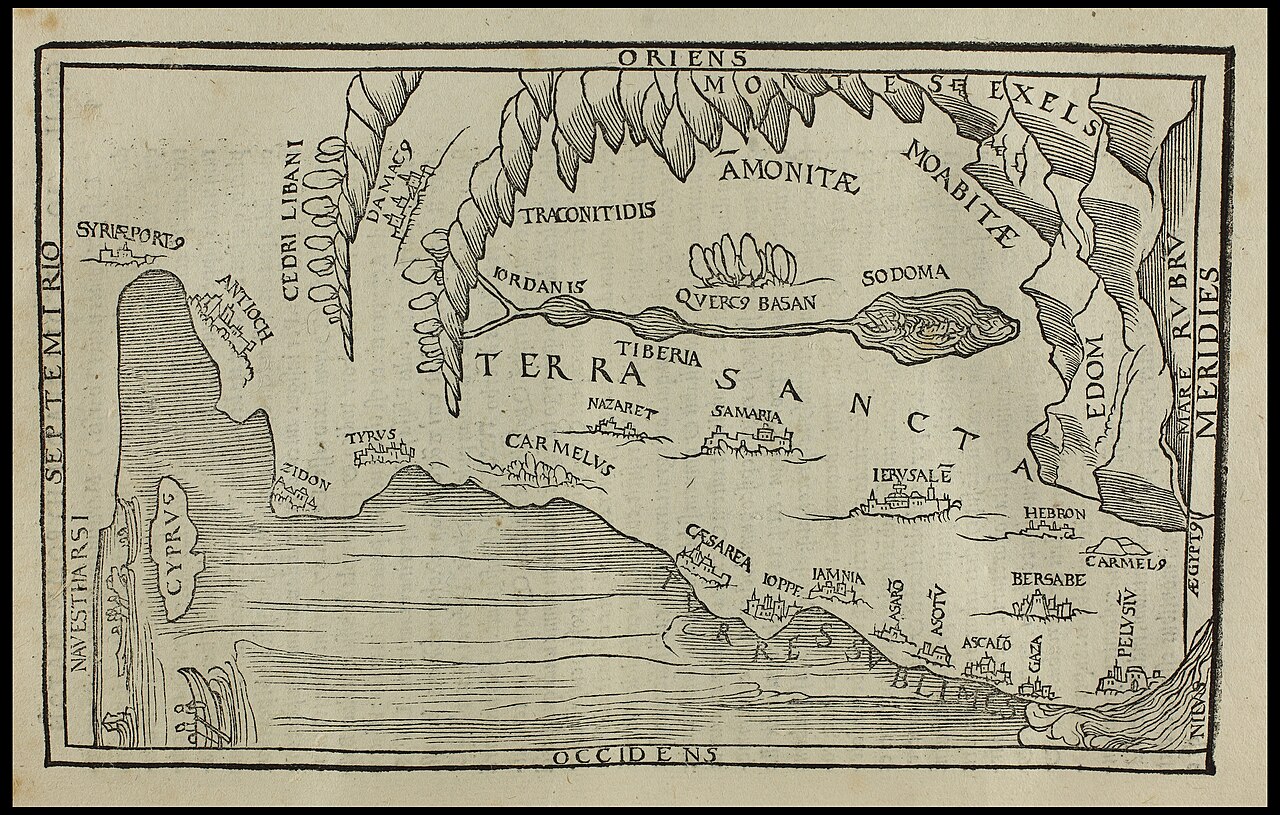
[עריכה]| Terra Sancta
( |
||||||||||||||||||||||||
|---|---|---|---|---|---|---|---|---|---|---|---|---|---|---|---|---|---|---|---|---|---|---|---|---|
| כותרת |
Terra Sancta |
|||||||||||||||||||||||
| מפרסם |
publisher not identified |
|||||||||||||||||||||||
| תיאור |
Terra Sancta.. |
|||||||||||||||||||||||
| שפה | גרמנית | |||||||||||||||||||||||
| תאריך הוצאה לאור | 1652 | |||||||||||||||||||||||
| טכניקה | 1 online resource (1 map). | |||||||||||||||||||||||
| אוסף |
|
|||||||||||||||||||||||
| מיקום נוכחי |
|
|||||||||||||||||||||||
| מיקום הוצאה | נירנברג | |||||||||||||||||||||||
| חיפוש בקטלוג מרחב | נירנברג | |||||||||||||||||||||||
| הערות | Digital image of the original in Amir Cahanovitc Collection, Israel. ACC 2782-1.; From: Biblia, das ist, die gantze Schrifft, Altes und Newes Testaments Teutsch, D. Martin Luthers . Nürnberg : Gedruckt und verlegt durch Wolffgang Endter, dem Aeltern, 1652. (N.T. DATES 1649). Called The Elector Bible.; Shows area from Cyprvs to Nilvs. | |||||||||||||||||||||||
| IE PID | IE48495452 | |||||||||||||||||||||||
| רוזטה שם קובץ | FL48495454 | |||||||||||||||||||||||
| מזהה רשומה בספרייה הלאומית (P3959) | 990040663800205171 | |||||||||||||||||||||||
| חיפוש בקטלוג מרחב | גרמנית | |||||||||||||||||||||||
| חיפוש בקטלוג מרחב | publisher not identified | |||||||||||||||||||||||
| מקור/צלם |
|
|||||||||||||||||||||||
| גרסאות אחרות | ||||||||||||||||||||||||
| Jpg / Tif version |
|
|||||||||||||||||||||||

.jpg)

.jpg&action=edit§ion=1)
רישיון
[עריכה].jpg&action=edit§ion=2)
The copyright situation of this work is theoretically uncertain, because in the country of origin copyright lasts 70 years after the death of the author, and the date of the author's death is unknown. However, the date of creation of the work was over 120 years ago, and it is thus a reasonable assumption that the copyright has expired (see here for the community discussion). Do not use this template if the date of death of the author is known.
| |
| הקובץ הזה זוהה כקובץ חופשי מכל מגבלה ידועה תחת חוק זכויות היוצרים, כולל כל הזכויות הקשורות והסמוכות. | |
היסטוריית הקובץ
ניתן ללחוץ על תאריך/שעה כדי לראות את הקובץ כפי שנראה באותו זמן.
| תאריך/שעה | תמונה ממוזערת | ממדים | משתמש | הערה | |
|---|---|---|---|---|---|
| נוכחית | 03:24, 4 בספטמבר 2023 | | 2,473 × 3,885 (11 מ"ב) | Geagea (שיחה | תרומות) | pattypan 22.03 |
אין באפשרותך לדרוס את הקובץ הזה.
שימוש בקובץ
הדף הבא משתמש בקובץ הזה:
.jpg&oldid=798498075)