File:Victor Guérin, Indication des principales Localités reconnues pour la première sois en Judée, en Samarie, et dans la Basse Galilée (FL45582965 3925858).jpg
קפיצה לניווט
קפיצה לחיפוש

גודל התצוגה המקדימה הזאת: 416 × 599 פיקסלים. רזולוציות אחרות: 166 × 240 פיקסלים | 333 × 480 פיקסלים | 533 × 768 פיקסלים | 711 × 1,024 פיקסלים | 1,421 × 2,048 פיקסלים | 3,098 × 4,463 פיקסלים.
לקובץ המקורי (3,098 × 4,463 פיקסלים, גודל הקובץ: 2.1 מ"ב, סוג MIME: image/jpeg)
כיתובים
כיתובים
נא להוסיף משפט שמסביר מה הקובץ מייצג
תקציר
[עריכה]| ויקטור גרן: Indication des principales Localités reconnues pour la première sois en Judée, en Samarie, et dans la Basse Galilée
( |
||||||||||||||||||||||||
|---|---|---|---|---|---|---|---|---|---|---|---|---|---|---|---|---|---|---|---|---|---|---|---|---|
| אומן |
|
|||||||||||||||||||||||
| כותרת |
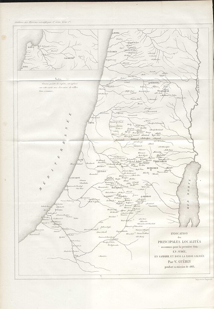
Indication des principales Localités reconnues pour la première sois en Judée, en Samarie, et dans la Basse Galilée |
|||||||||||||||||||||||
| מפרסם |
Imprimerie impériale |
|||||||||||||||||||||||
| תיאור |
Indication des principales Localités reconnues pour la première sois en Judée, en Samarie, et dans la Basse Galilée. Palestine par V. Guérin pendant sa mission de 1863. |
|||||||||||||||||||||||
| שפה | צרפתית | |||||||||||||||||||||||
| תאריך הוצאה לאור | 1865 | |||||||||||||||||||||||
| טכניקה | 1 online resource (1 map). | |||||||||||||||||||||||
| אוסף |
|
|||||||||||||||||||||||
| מיקום נוכחי |
|
|||||||||||||||||||||||
| מיקום הוצאה | פריז | |||||||||||||||||||||||
| חיפוש בקטלוג מרחב | פריז | |||||||||||||||||||||||
| הערות | Digital image of the original in Amir Cahanovitc Collection, Israel. ACC 1638.; Digital image received from donor.; From: Archives des Missions Scientifiques et Littéraires. Choix de Rapports et Instructions. Publie sous les auspices du ministre de L'instrucion publique. Deuxieme serie. Tome Premier Troisieme livraison.; Inset: [Nazareth Kaifa]. | |||||||||||||||||||||||
| IE PID | IE45582959 | |||||||||||||||||||||||
| רוזטה שם קובץ | FL45582965 | |||||||||||||||||||||||
| מזהה רשומה בספרייה הלאומית (P3959) | 990039258580205171 | |||||||||||||||||||||||
| חיפוש בקטלוג מרחב | צרפתית, ויקטור גרן | |||||||||||||||||||||||
| חיפוש בקטלוג מרחב | Imprimerie impériale | |||||||||||||||||||||||
| מקור/צלם |
|
|||||||||||||||||||||||
| גרסאות אחרות | ||||||||||||||||||||||||
| Jpg / Tif version |
|
|||||||||||||||||||||||


.jpg)

.jpg&action=edit§ion=1)
רישיון
[עריכה].jpg&action=edit§ion=2)
The copyright situation of this work is theoretically uncertain, because in the country of origin copyright lasts 70 years after the death of the author, and the date of the author's death is unknown. However, the date of creation of the work was over 120 years ago, and it is thus a reasonable assumption that the copyright has expired (see here for the community discussion). Do not use this template if the date of death of the author is known.
| |
| הקובץ הזה זוהה כקובץ חופשי מכל מגבלה ידועה תחת חוק זכויות היוצרים, כולל כל הזכויות הקשורות והסמוכות. | |
היסטוריית הקובץ
ניתן ללחוץ על תאריך/שעה כדי לראות את הקובץ כפי שנראה באותו זמן.
| תאריך/שעה | תמונה ממוזערת | ממדים | משתמש | הערה | |
|---|---|---|---|---|---|
| נוכחית | 19:53, 5 בספטמבר 2023 | | 4,463 × 3,098 (2.1 מ"ב) | Geagea (שיחה | תרומות) | pattypan 22.03 |
אין באפשרותך לדרוס את הקובץ הזה.
שימוש בקובץ
הדף הבא משתמש בקובץ הזה:
.jpg&oldid=798735007)