Maps of the Canary Islands
Jump to navigation
Jump to search
This page lists maps of the Canary Islands, in SVG format.
The archipelago[edit]
-
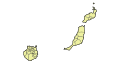
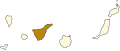
 Islands
 -
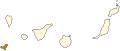
 Islands with municipal boundaries
 -
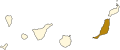
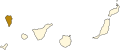
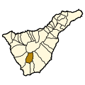
 Spanish province of Las Palmas
 -
 Spanish Province of Santa Cruz de Tenerife
 -
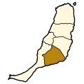
 Fuerteventura
 -
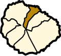
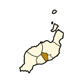
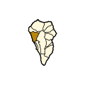
 La Gomera
 -
 Gran Canaria
 -
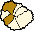
 El Hierro
 -
 Lanzarote
 -
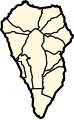
 La Palma
 -
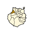
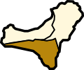
 Tenerife


Fuerteventura[edit]
-
 Blank municipalities
 -
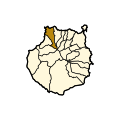
 Antigua
 -
 Betancuria
 -
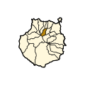
 La Oliva
 -
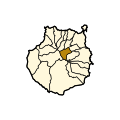
 Pájara
 -
 Puerto del Rosario
 -
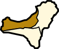
 Tuineje


La Gomera[edit]
-
 Blank municipalities
 -
 Agulo
Agulo -
 Alajeró
 -
 Hermigua
 -
 San Sebastián de la Gomera
 -
 Vallehermoso
 -
 Valle Gran Rey


Gran Canaria[edit]
-
 Blank municipalities
 -
 Agaete
 -
 Agüimes
 -
 Artenara
 -
 Arucas
 -
 Firgas
 -
 Gáldar
 -
 Ingenio
 -
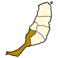
 Mogán
Mogán -
 Moya
Moya -
 Las Palmas de Gran Canaria
 -
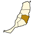
 San Bartolomé de Tirajana
 -
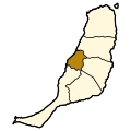
 San Nicolás de Tolentino
 -
 Santa Brígida
 -
 Santa Lucía de Tirajana
 -
 Santa María de Guía de Gran Canaria
 -
 Tejeda
 -
 Telde
Telde -
 Teror
Teror -
 Valleseco
 -
 Valsequillo de Gran Canaria
 -
 Vega de San Mateo


El Hierro[edit]
-
 Blank municipalities
 -
 Frontera
 -
 El Pinar de El Hierro
 -
 Valverde


Lanzarote[edit]
-
 Blank municipalities
 -
 Arrecife
 -
 Haría
Haría -
 San Bartolomé
 -
 Teguise
 -
 Tías
Tías -
 Tinajo
 -
 Yaiza
Yaiza


La Palma[edit]
-
 Blank municipalities
 -
 Barlovento
 -
 Breña Alta
 -
 Breña Baja
 -
 Fuencaliente
 -
 Garafía
 -
 Los Llanos de Aridane
 -
 El Paso
 -
 Puntagorda
 -
 Puntallana
 -
 San Andrés y Sauces
 -
 Santa Cruz de la Palma
 -
 Tazacorte
 -
 Tijarafe
 -
 Villa de Mazo


Tenerife[edit]
-
 Blank municipalities
 -
 Adeje
Adeje -
 Arafo
Arafo -
 Arico
Arico -
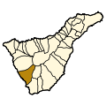
 Arona
Arona -
 Buenavista del Norte
 -
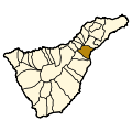 Candelaria
 -
 Fasnia
 -
 Garachico
 -
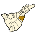
 Granadilla
 -
 La Guancha
 -
 Guía de Isora
 -
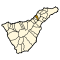
 Güímar
 -
 Icod de los Vinos
 -
 La Matanza
 -
 La Orotava
 -
 Puerto de la Cruz
 -
 Los Realejos
 -
 El Rosario
 -
 San Cristóbal de la Laguna
 -
 San Juan de la Rambla
 -
 San Miguel de Abona
 -
 Santa Cruz de Tenerife
 -
 Santa Úrsula
 -
 Santiago del Teide
 -
 El Sauzal
 -
 Los Silos
 -
 Tacoronte
 -
 El Tanque
 -
 Tegueste
 -
 La Victoria
 -
 Vilaflor


