File:Chemin de fer de Smyrne–Cassaba et Prolongements.png
Jump to navigation
Jump to search

Size of this preview: 800 × 529 pixels. Other resolutions: 320 × 212 pixels | 640 × 423 pixels | 1,024 × 677 pixels | 1,280 × 846 pixels | 2,816 × 1,862 pixels.
Original file (2,816 × 1,862 pixels, file size: 927 KB, MIME type: image/png)
Captions
Captions
Add a one-line explanation of what this file represents
Summary[edit]
| Description |
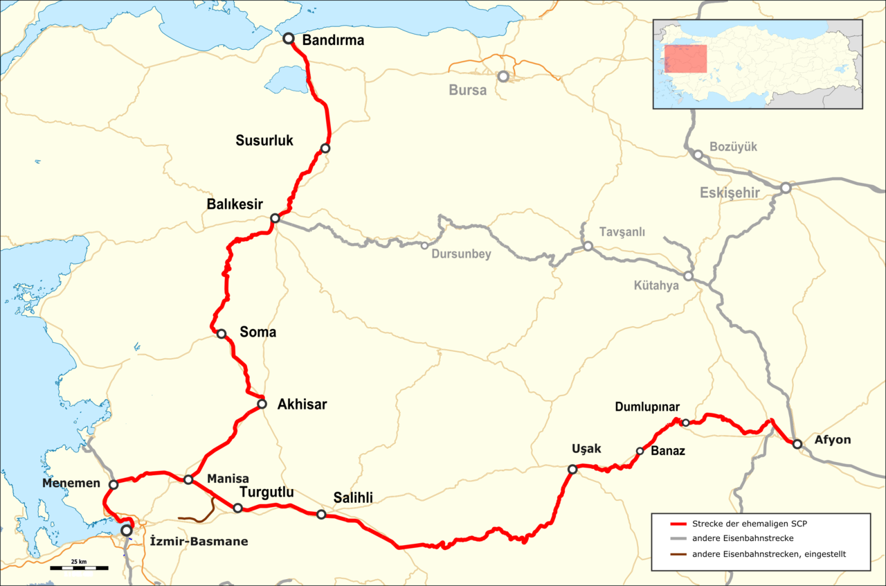
Deutsch: Karte der Chemin de fer de Smyrne-Cassaba et Prolongements im Zustand von 2015 |
| Date | |
| Source |
Map was created by using
|
| Author |
|
| Permission (Reusing this file) |
Map data (c) OpenStreetMap (and) contributors, CC-BY-SA |
Licensing[edit]
This file is licensed under the Creative Commons Attribution-Share Alike 2.0 Generic license.
- You are free:
- to share – to copy, distribute and transmit the work
- to remix – to adapt the work
- Under the following conditions:
- attribution – You must give appropriate credit, provide a link to the license, and indicate if changes were made. You may do so in any reasonable manner, but not in any way that suggests the licensor endorses you or your use.
- share alike – If you remix, transform, or build upon the material, you must distribute your contributions under the same or compatible license as the original.
| This work is licensed under the Open Database License (summary). |
File history
Click on a date/time to view the file as it appeared at that time.
| Date/Time | Thumbnail | Dimensions | User | Comment | |
|---|---|---|---|---|---|
| current | 20:20, 2 February 2016 | | 2,816 × 1,862 (927 KB) | Pechristener (talk | contribs) | Legende hinzu, Location mal nach oben rechts verschoben |
| 02:04, 31 January 2016 |  | 2,816 × 1,862 (912 KB) | Pechristener (talk | contribs) | location map added | |
| 19:50, 29 January 2016 |  | 2,816 × 1,862 (860 KB) | Pechristener (talk | contribs) | {{Information |Description={{de|1=Karte der Chemin de fer de Smyrne-Cassaba et Prolongements im Zustand von 2015}} |Source = Map was created using [http://www.openstreetmap.org/ Open Stre... |
You cannot overwrite this file.
File usage on Commons
The following 10 pages use this file:
- User:Chumwa/OgreBot/Potential transport maps/2016 February 1-9
- User:Chumwa/OgreBot/Potential transport maps/2016 January 21-31
- User:Chumwa/OgreBot/Public transport information/2016 February 1-9
- User:Chumwa/OgreBot/Public transport information/2016 January 21-31
- User:Chumwa/OgreBot/Transport Maps/2016 February 1-9
- User:Chumwa/OgreBot/Transport Maps/2016 January 21-31
- User:Chumwa/OgreBot/Travel and communication maps/2016 February 1-9
- User:Chumwa/OgreBot/Travel and communication maps/2016 January 21-31
- Category:Manisa–Bandırma railway
- Category:İzmir–Afyonkarahisar railway
File usage on other wikis
The following other wikis use this file:
- Usage on de.wikipedia.org
- Usage on tr.wikipedia.org
- Usage on www.wikidata.org