File:India (orthographic projection).png
Jump to navigation
Jump to search
Size of this preview: 600 × 600 pixels. Other resolutions: 240 × 240 pixels | 480 × 480 pixels | 768 × 768 pixels | 1,024 × 1,024 pixels | 2,000 × 2,000 pixels.
Original file (2,000 × 2,000 pixels, file size: 658 KB, MIME type: image/png)
Captions
Captions
Dominion of India (orthographic projection)
Summary[edit]
.png&action=edit§ion=1)
| Description |
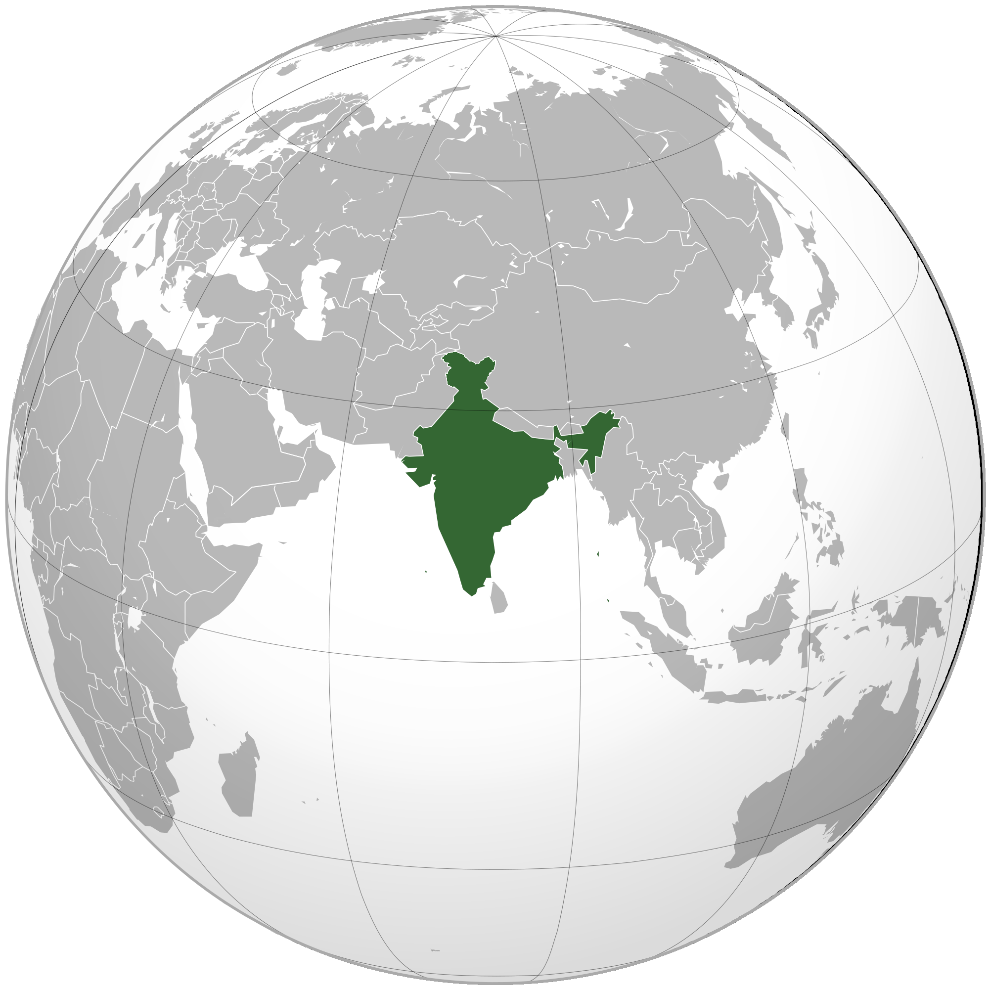
English: Dominion of India. Area controlled by Dominion of India in dark green |
||||
| Date | |||||
| Source |
Own work, Aquarius.geomar.de
|
||||
| Author | Anshulkumardhiman (talk) |

|
This map image could be re-created using vector graphics as an SVG file. This has several advantages; see Commons:Media for cleanup for more information. If an SVG form of this image is available, please upload it and afterwards replace this template with
{{vector version available|new image name}}.
It is recommended to name the SVG file “India (orthographic projection).svg”—then the template Vector version available (or Vva) does not need the new image name parameter. |
Licensing[edit]
.png&action=edit§ion=2)
I, the copyright holder of this work, hereby publish it under the following licenses:

|
Permission is granted to copy, distribute and/or modify this document under the terms of the GNU Free Documentation License, Version 1.2 or any later version published by the Free Software Foundation; with no Invariant Sections, no Front-Cover Texts, and no Back-Cover Texts. A copy of the license is included in the section entitled GNU Free Documentation License. |
This file is licensed under the Creative Commons Attribution 3.0 Unported license.
- You are free:
- to share – to copy, distribute and transmit the work
- to remix – to adapt the work
- Under the following conditions:
- attribution – You must give appropriate credit, provide a link to the license, and indicate if changes were made. You may do so in any reasonable manner, but not in any way that suggests the licensor endorses you or your use.
You may select the license of your choice.
File history
Click on a date/time to view the file as it appeared at that time.
| Date/Time | Thumbnail | Dimensions | User | Comment | |
|---|---|---|---|---|---|
| current | 06:55, 19 December 2011 | | 2,000 × 2,000 (658 KB) | Anshulkumardhiman (talk | contribs) | {{Information |Description ={{en|1={{en|1=India. Area controlled by India in dark green}}}} |Source =Own work, {{Inkscape}}<br />[http://www.aquarius.geomar.de/omc/make_map.html Aquarius.geomar.de]<br />{{GFDL-GMT|migration=redundant}} |Author |
You cannot overwrite this file.
File usage on Commons
The following 9 pages use this file:
- File:Dominion of India.png (file redirect)
- File:Dominion of India (orthographic projection).png (file redirect)
- File:People's Republic of India.png (file redirect)
- File:People's Republic of India (orthographic projection).png (file redirect)
- File:Republic of India.png (file redirect)
- File:Republic of India (orthographic projection).png (file redirect)
- File:Union of India.png (file redirect)
- File:Union of India (orthographic projection).png (file redirect)
- Category:Dominion of India
.png&redirect=no)
.png&redirect=no)
.png&redirect=no)
.png&redirect=no)
File usage on other wikis
The following other wikis use this file:
- Usage on arz.wikipedia.org
- Usage on ast.wikipedia.org
- Usage on be.wikipedia.org
- Usage on bg.wikipedia.org
- Usage on ca.wikipedia.org
- Usage on en.wikipedia.org
- Usage on eo.wikipedia.org
- Usage on es.wikipedia.org
- Usage on it.wikipedia.org
- Usage on ja.wikipedia.org
- Usage on ko.wikipedia.org
- Usage on lt.wikipedia.org
- Usage on ms.wikipedia.org
- Usage on no.wikipedia.org
- Usage on pl.wikipedia.org
- Usage on pt.wikipedia.org
- Usage on ru.wikipedia.org
- Usage on ta.wikipedia.org
- Usage on tg.wikipedia.org
- Usage on ur.wikipedia.org
- Usage on uz.wikipedia.org
- Usage on www.wikidata.org
.png&oldid=864411319)