File:071 Qasr Azraq Jordan.jpg
Jump to navigation
Jump to search

Size of this preview: 800 × 540 pixels. Other resolutions: 320 × 216 pixels | 640 × 432 pixels | 1,024 × 691 pixels | 1,280 × 864 pixels | 1,734 × 1,170 pixels.
Original file (1,734 × 1,170 pixels, file size: 318 KB, MIME type: image/jpeg)
Captions
Captions
Add a one-line explanation of what this file represents
Summary
[edit]
| Description |
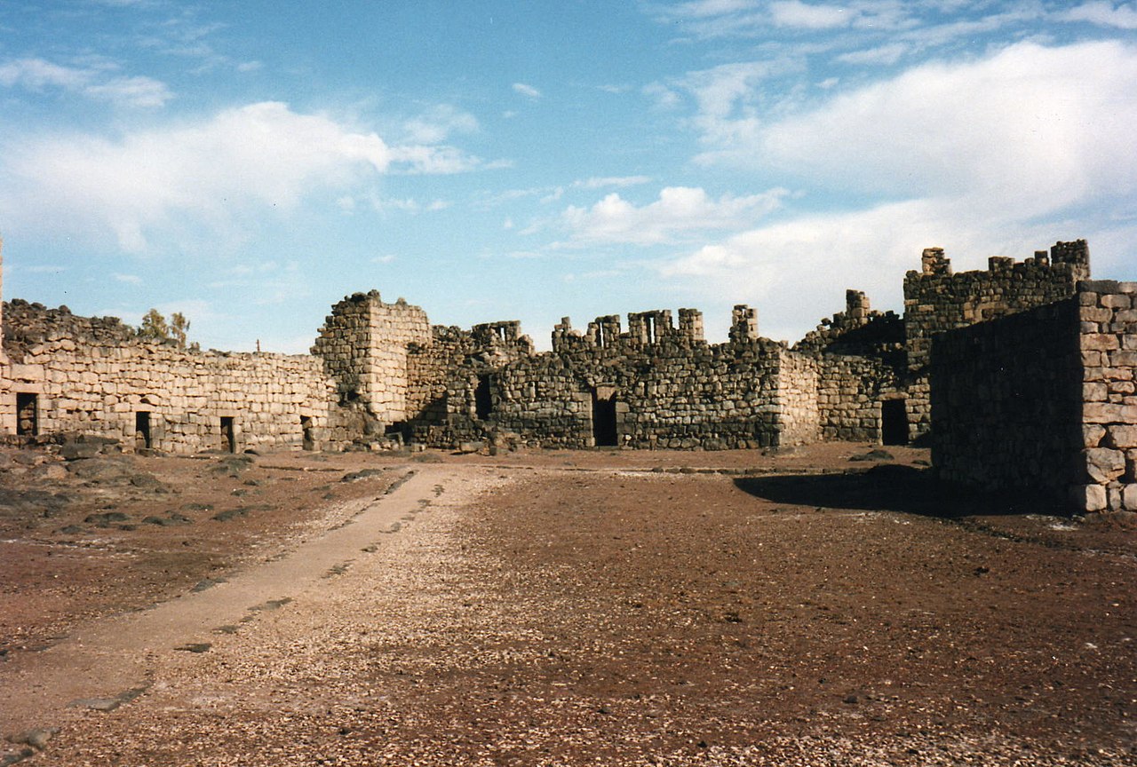
Català: Qasr al-Àzraq Deutsch: Qasr al-Azraq English: Qasr Azraq (Arabic: قصر الأزرق, "Blue Fortress") is a large fortress located in present-day eastern Jordan. It is one of the desert castles, located on the outskirts of present-day Azraq, roughly 100 km (62 mi) east of Amman. Español: Qasr Al Azraq Français : Qasr Azraq Italiano: Qasr Azraq Nederlands: Qasr Azraq Svenska: Qasr Azraq Ελληνικά: Κασρ Άζρακ العربية : قلعة الأزرق
|
||
| Date | |||
| Source | https://www.flickr.com/photos/zongo/2130009280/ | ||
| Author | DAVID HOLT |
| Camera location | | View this and other nearby images on: OpenStreetMap |
|---|
Licensing
[edit]
| This image was originally posted to Flickr. Its license was verified as "cc-by-sa-2.0" by the UploadWizard Extension at the time it was transferred to Commons. See the license information for further details. |
DAVID HOLT, the copyright holder of this work, hereby publishes it under the following license:
This file is licensed under the Creative Commons Attribution-Share Alike 2.0 Generic license.
Attribution: DAVID HOLT
- You are free:
- to share – to copy, distribute and transmit the work
- to remix – to adapt the work
- Under the following conditions:
- attribution – You must give appropriate credit, provide a link to the license, and indicate if changes were made. You may do so in any reasonable manner, but not in any way that suggests the licensor endorses you or your use.
- share alike – If you remix, transform, or build upon the material, you must distribute your contributions under the same or compatible license as the original.

|
This image was uploaded as part of Wiki Loves Monuments 2014.
|
 |
File history
Click on a date/time to view the file as it appeared at that time.
| Date/Time | Thumbnail | Dimensions | User | Comment | |
|---|---|---|---|---|---|
| current | 21:34, 24 September 2014 | | 1,734 × 1,170 (318 KB) | Tarawneh (talk | contribs) | User created page with UploadWizard |
You cannot overwrite this file.
File usage on Commons
The following 4 pages use this file:
File usage on other wikis
The following other wikis use this file:
- Usage on ar.wikipedia.org
- Usage on sv.wikipedia.org