File:BlankMap-Equirectangular.svg
Jump to navigation
Jump to search

Size of this PNG preview of this SVG file: 360 × 180 pixels. Other resolutions: 320 × 160 pixels | 640 × 320 pixels | 1,024 × 512 pixels | 1,280 × 640 pixels | 2,560 × 1,280 pixels.
Original file (SVG file, nominally 360 × 180 pixels, file size: 1.4 MB)
Captions
Captions
Add a one-line explanation of what this file represents
Summary[edit]
W3C-validity not checked.
| Description |
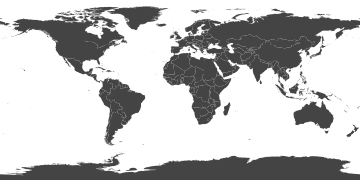
English: The map shows the whole world in an equirectangular projection and contains the shapes of all sovereign states' territory as well as antarctica.
The data source is not the CIA Factbook, but Natural Earth. Looks not as vectorish if you zoom in. For further information about the creation of this map, see the Discussion Page. |
| Date | |
| Source | Natural Earth - naturalearthdata.com, derived data from Google Fusion Table - http://blog.thematicmapping.org/ |
| Author | Tom Patterson, Nathaniel Vaughn Kelso and others from naturalearthdata.com, Bjørn Sandvik |
Licensing[edit]
| This file is made available under the Creative Commons CC0 1.0 Universal Public Domain Dedication. | |
| The person who associated a work with this deed has dedicated the work to the public domain by waiving all of their rights to the work worldwide under copyright law, including all related and neighboring rights, to the extent allowed by law. You can copy, modify, distribute and perform the work, even for commercial purposes, all without asking permission.
|
File history
Click on a date/time to view the file as it appeared at that time.
| Date/Time | Thumbnail | Dimensions | User | Comment | |
|---|---|---|---|---|---|
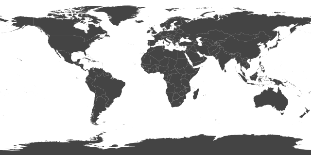
| current | 10:16, 4 November 2023 | | 360 × 180 (1.4 MB) | Siirski (talk | contribs) | Reverted to version as of 22:32, 15 August 2014 (UTC) |
| 09:00, 1 October 2023 |  | 360 × 180 (1.43 MB) | Caawiyahaderon (talk | contribs) | https://www.thehindu.com/news/international/pro-somalia-militia-takes-key-army-base-in-breakaway-region/article67238670.ece | |
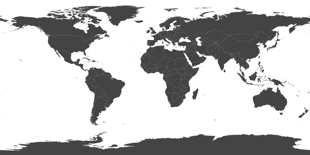
| 22:32, 15 August 2014 |  | 360 × 180 (1.4 MB) | Locoluis (talk | contribs) | South Sudan was jumbled together with Sudan under the same code. Changed it to SSD. | |
| 03:51, 6 August 2014 |  | 360 × 180 (1.4 MB) | Locoluis (talk | contribs) | IDs in XML (and SVG) must be unique. Repeated IDs made the original SVG file INVALID. - Replaced all ISO 3166-1 alpha-3 ids with classes - Removed all inline styles, replaced by a single class .country - Added different ids for territories, and groupe... | |
| 15:41, 9 February 2012 |  | 360 × 180 (1.42 MB) | Illuminatus235 (talk | contribs) |
You cannot overwrite this file.
File usage on Commons
The following 3 pages use this file: