File:Дорога к озеру Венеция 02.jpg
Jump to navigation
Jump to search
Size of this preview: 600 × 600 pixels. Other resolutions: 240 × 240 pixels | 480 × 480 pixels | 768 × 768 pixels | 1,024 × 1,024 pixels | 2,500 × 2,500 pixels.
Original file (2,500 × 2,500 pixels, file size: 4.4 MB, MIME type: image/jpeg)
Captions
Captions
Add a one-line explanation of what this file represents
Summary[edit]
| Description |
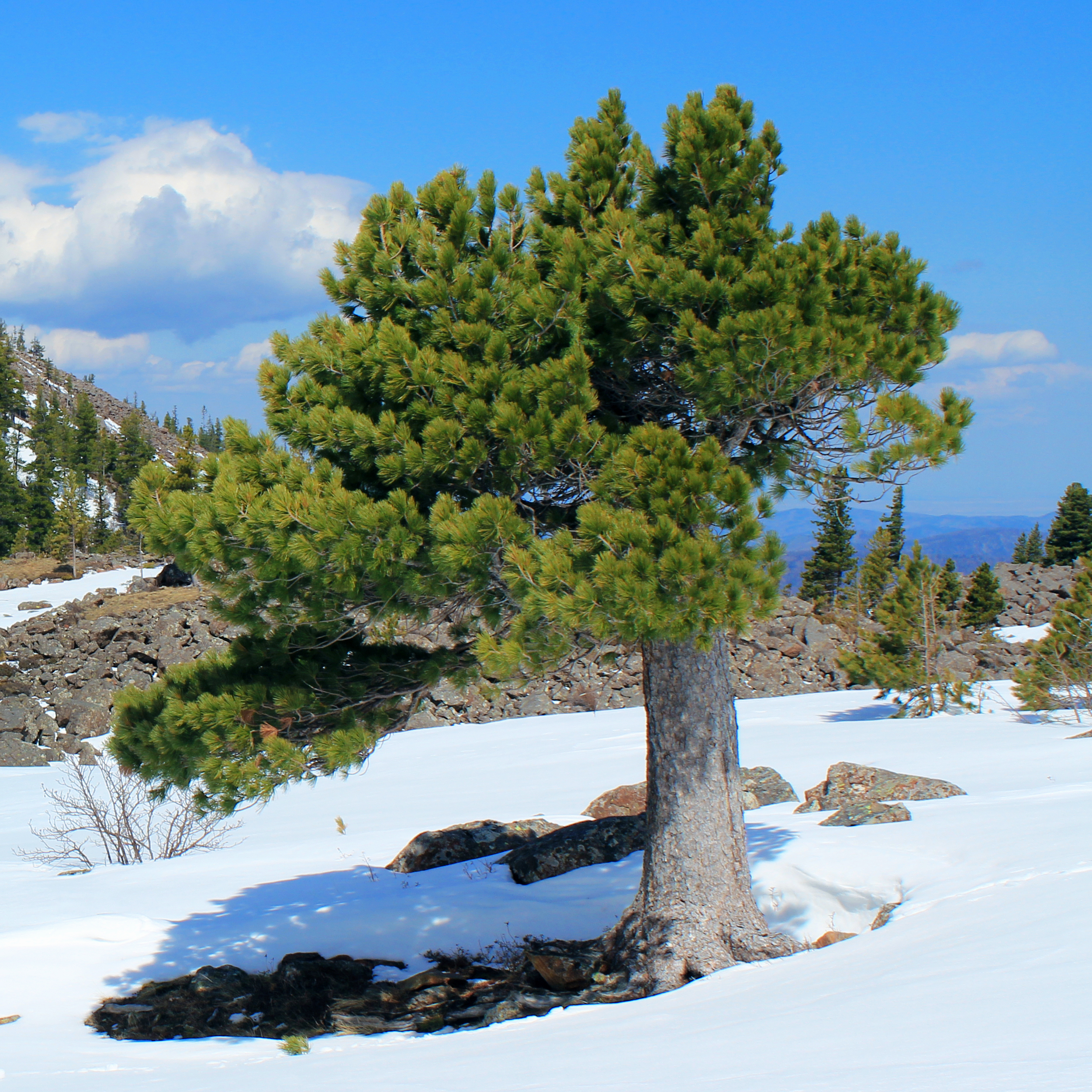
English: Siberian Pine Pinus sibirica.
Русский: Шушенский бор: Расположен на территории Шушенского района Красноярского края, на правобережье Енисея. Состоит из двух участков - равнинного в Минусинской котловине и горного на северном макросклоне Западного Саяна. Географические координаты крайних точек: Перовское лесничество Север т.1 53°22’ с.ш. 91°59’ в.д. Запад т.2 53°15’ с.ш. 91°55’ в.д. Восток т.3 53°19’ с.ш. 92°03’ в.д. Юг т.4 53°14’ с.ш. 92°00’ в.д. Горное лесничество Север т.5 52°53’ с.ш. 91°26’ в.д. Запад т.6 52°45’ с.ш. 91°23’ в.д. Восток т.7 52°44’ с.ш. 91°46’ в.д. Юг т.8 52°39’ с.ш. 91°29’ в.д, Шушенский район, Красноярский край
|
|||
| Date | ||||
| Source | File:Дорога_к_озеру_Венеция_01.jpg | |||
| Author | Nina Zhavoronkova, edit MPF | |||
| Permission (Reusing this file) |
This file is licensed under the Creative Commons Attribution-Share Alike 4.0 International license.
|
|||
| Other versions | Cropped & colour-corrected from File:Дорога_к_озеру_Венеция_01.jpg |
File history
Click on a date/time to view the file as it appeared at that time.
| Date/Time | Thumbnail | Dimensions | User | Comment | |
|---|---|---|---|---|---|
| current | 15:05, 2 August 2020 | | 2,500 × 2,500 (4.4 MB) | MPF (talk | contribs) | {{Information |description ={{en|1={{la|1=''Pinus sibirica''.}} {{ru|1=Шушенский бор: Расположен на территории Шушенского района Красноярского края, на правобережье Енисея. Состоит из двух участков - равнинного в Минусинской котловине и горного на северном макросклоне Западного Саяна. Географические координаты крайних точек: Перовское лесничество Север т.1 53°22’ с.ш. 91°59’ в.д. Запад т.2 53°15’ с.ш. 91°55’ в.д. Восток т.3 53°19’ с.ш. 92°03’ в.д. Юг т.4 53°14’ с.ш. 92°00’ в.д. Горное лесни... |
You cannot overwrite this file.
File usage on Commons
There are no pages that use this file.