File:Россия, Нижний Новгород, Нижегородский район, площадь Минина и Пожарского, позади педагогического университета, 10-55 0 - panoramio.jpg
Jump to navigation
Jump to search

Size of this preview: 800 × 230 pixels. Other resolutions: 320 × 92 pixels | 640 × 184 pixels | 1,024 × 295 pixels | 1,280 × 368 pixels | 3,560 × 1,024 pixels.
Original file (3,560 × 1,024 pixels, file size: 662 KB, MIME type: image/jpeg)
Captions
Captions
Add a one-line explanation of what this file represents
Summary[edit]
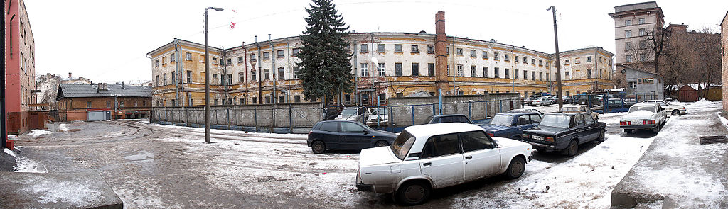
| Description | Россия: Нижний Новгород: Нижегородский район: площадь Минина и Пожарского: позади педагогического университета; 10:55 03.01.2007 | ||
| Date | Taken on 3 January 2007 | ||
| Source | https://web.archive.org/web/20161010064127/http://www.panoramio.com/photo/9799106 | ||
| Author | Vadim Zhivotovsky | ||
| Permission (Reusing this file) |
This file is licensed under the Creative Commons Attribution 3.0 Unported license. Attribution: Vadim Zhivotovsky
|
| Camera location | | View this and other nearby images on: OpenStreetMap |
|---|
File history
Click on a date/time to view the file as it appeared at that time.
| Date/Time | Thumbnail | Dimensions | User | Comment | |
|---|---|---|---|---|---|
| current | 02:35, 11 March 2016 | 3,560 × 1,024 (662 KB) | Panoramio upload bot (talk | contribs) | {{Information |description=Россия: Нижний Новгород: Нижегородский район: площадь Минина и Пожарского: позади педагогического университета; 10:55 03.01.2007 |... |
You cannot overwrite this file.
File usage on Commons
There are no pages that use this file.