File:Спуск у Оке - panoramio.jpg
Jump to navigation
Jump to search
Size of this preview: 799 × 157 pixels. Other resolutions: 320 × 63 pixels | 640 × 126 pixels | 3,216 × 632 pixels.
Original file (3,216 × 632 pixels, file size: 1.92 MB, MIME type: image/jpeg)
Captions
Captions
Add a one-line explanation of what this file represents
Summary[edit]
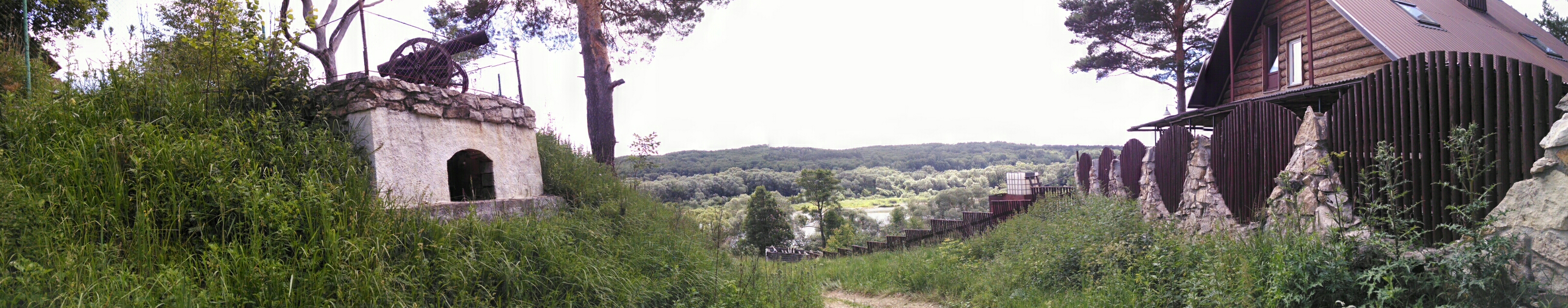
| Description | Спуск у Оке | ||
| Date | Taken on 22 June 2014 | ||
| Source | https://web.archive.org/web/20161103002526/http://www.panoramio.com/photo/108468075 | ||
| Author | Александр Завалишин | ||
| Permission (Reusing this file) |
This file is licensed under the Creative Commons Attribution-Share Alike 3.0 Unported license. Attribution: Александр Завалишин
|
||
| Tags (from Panoramio photo page) | Tarussky District, nature, Oka river, river, Summer, Лето, Ока |
| Camera location | | View this and other nearby images on: OpenStreetMap |
|---|

File history
Click on a date/time to view the file as it appeared at that time.
| Date/Time | Thumbnail | Dimensions | User | Comment | |
|---|---|---|---|---|---|
| current | 19:56, 11 April 2017 | 3,216 × 632 (1.92 MB) | Panoramio upload bot (talk | contribs) | == {{int:filedesc}} == {{Information |description=Спуск у Оке |date={{Taken on|2014-06-22}} |source=http://www.panoramio.com/photo/108468075 |author=[http://www.panoramio.com/user/4013010?with_photo_id=108468075 Александр Завали... |
You cannot overwrite this file.
File usage on Commons
There are no pages that use this file.