File:臺南市七股區行政區圖.svg
Jump to navigation
Jump to search

Size of this PNG preview of this SVG file: 567 × 600 pixels. Other resolutions: 227 × 240 pixels | 454 × 480 pixels | 726 × 768 pixels | 968 × 1,024 pixels | 1,936 × 2,048 pixels | 2,213 × 2,341 pixels.
Original file (SVG file, nominally 2,213 × 2,341 pixels, file size: 88 KB)
Captions
Captions
Add a one-line explanation of what this file represents
Summary[edit]
| Description |
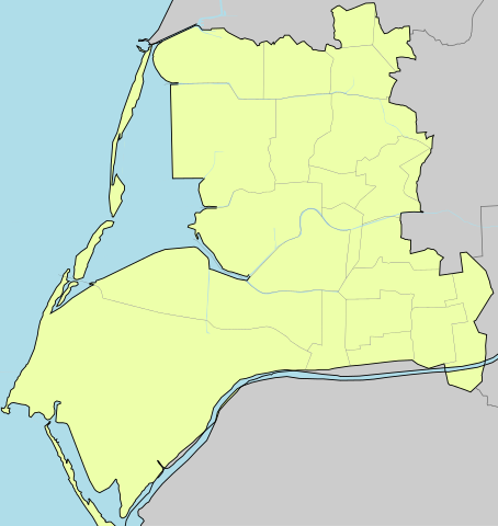
中文(繁體):臺南市七股區行政區圖(參考來源:內政部 |
| Date | |
| Source | Own work |
| Author |
This W3C-unspecified vector image was created with Inkscape . |
Licensing[edit]
| I, the copyright holder of this work, release this work into the public domain. This applies worldwide. In some countries this may not be legally possible; if so: I grant anyone the right to use this work for any purpose, without any conditions, unless such conditions are required by law. |
File history
Click on a date/time to view the file as it appeared at that time.
| Date/Time | Thumbnail | Dimensions | User | Comment | |
|---|---|---|---|---|---|
| current | 12:27, 9 July 2019 | | 2,213 × 2,341 (88 KB) | Pbdragonwang (talk | contribs) | 調整竹港里界線 |
| 18:29, 13 March 2011 |  | 2,075 × 2,194 (87 KB) | Pbdragonwang (talk | contribs) | 邊界修改 | |
| 14:57, 28 February 2011 |  | 2,077 × 2,195 (71 KB) | Pbdragonwang (talk | contribs) | {{Information |Description ={{zh-hant|1=臺南市七股區行政區圖(參考來源:[http://taiwanarmap.moi.gov.tw/moi/ProjectImage/%E4%B8%83%E8%82%A1%E5%8D%80-%E4%B8%AD.png 內政部]}} |Source ={{own}} |Author =[[User:Pbdragonwang |
You cannot overwrite this file.
File usage on Commons
The following page uses this file:
File usage on other wikis
The following other wikis use this file: