File:荷兰 Netherlands Niederlande Нидерланды Cina Xinjiang, Urumqi il benvenuto alla visita della città China Xinjiang Urumqi, sind Sie - panoramio (1).jpg
Jump to navigation
Jump to search

Size of this preview: 398 × 599 pixels. Other resolutions: 159 × 240 pixels | 319 × 480 pixels | 510 × 768 pixels | 680 × 1,024 pixels | 2,136 × 3,216 pixels.
Original file (2,136 × 3,216 pixels, file size: 1.53 MB, MIME type: image/jpeg)
Captions
Captions
Add a one-line explanation of what this file represents
Summary[edit]
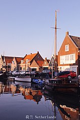
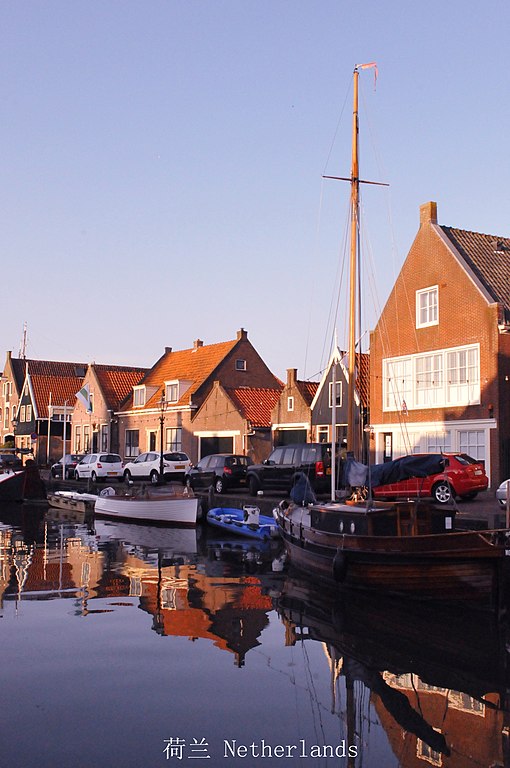
| Description | 荷兰 Netherlands Niederlande Нидерланды Cina Xinjiang, Urumqi il benvenuto alla visita della città China Xinjiang Urumqi, sind Sie herzlich eingeladen, Tourismus China Xinjiang Urumqi Welcome you to tour the, China de Xinjiang Urumqi bienvenida a visitas turísticas Китай Синьцзяна Урумчи Приглашаю Вас на экскурсию الصين ترحب زيارتك لاورومتشى فى شينجيانغ | ||
| Date | Taken on 15 July 2013 | ||
| Source | https://web.archive.org/web/20161028103356/http://www.panoramio.com/photo/99716266 | ||
| Author | 罗布泊 | ||
| Permission (Reusing this file) |
This file is licensed under the Creative Commons Attribution 3.0 Unported license. Attribution: 罗布泊
|
||
| Tags (from Panoramio photo page) | Monnickendam |
| Camera location | | View this and other nearby images on: OpenStreetMap |
|---|

.jpg&action=edit§ion=1)
.jpg¶ms=052.459309_N_0005.036400_E_globe:Earth_type:camera_source:Panoramio_&language=en)
.jpg&action=edit&withJS=MediaWiki:Catcheck.js)
File history
Click on a date/time to view the file as it appeared at that time.
| Date/Time | Thumbnail | Dimensions | User | Comment | |
|---|---|---|---|---|---|
| current | 20:10, 8 April 2017 | | 2,136 × 3,216 (1.53 MB) | Panoramio upload bot (talk | contribs) | == {{int:filedesc}} == {{Information |description=荷兰 Netherlands Niederlande Нидерланды Cina Xinjiang, Urumqi il benvenuto alla visita della città China Xinjiang Urumqi, sind Sie herzlich eingeladen, Tourismus China Xinjiang Urumqi Welco... |
You cannot overwrite this file.
File usage on Commons
There are no pages that use this file.
.jpg&oldid=767829626)