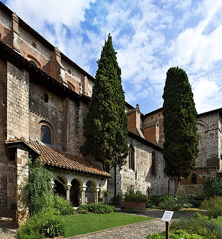
File:(Albi) Collegiate Saint Salvy of Albi seen from the cloister.jpg
Jump to navigation
Jump to search

Size of this preview: 556 × 600 pixels. Other resolutions: 222 × 240 pixels | 445 × 480 pixels | 712 × 768 pixels | 949 × 1,024 pixels | 1,898 × 2,048 pixels | 5,411 × 5,839 pixels.
Original file (5,411 × 5,839 pixels, file size: 41.82 MB, MIME type: image/jpeg)
Captions
Captions
Add a one-line explanation of what this file represents
Summary[edit]
|
| |||||||||||||||||||

_Coll%C3%A9giale_Saint-Salvy.jpg)
_Coll%C3%A9giale_Saint-Salvy_-_Apse.jpg)
_Collegiate_Saint_Salvy_of_Albi_seen_from_the_cloister.jpg)
_Collegiate_Saint_Salvy_of_Albi_seen_from_the_cloister.jpg&action=edit§ion=1)
_Collegiate_Saint_Salvy_of_Albi_seen_from_the_cloister.jpg)
_Collegiate_Saint_Salvy_of_Albi_seen_from_the_cloister.jpg¶ms=043.927800_N_0002.144400_E_globe:Earth_class:object_type:object__&language=en)
File history
Click on a date/time to view the file as it appeared at that time.
| Date/Time | Thumbnail | Dimensions | User | Comment | |
|---|---|---|---|---|---|
| current | 13:14, 24 September 2022 | | 5,411 × 5,839 (41.82 MB) | Archaeodontosaurus (talk | contribs) | correction |
| 07:21, 24 September 2022 |  | 5,411 × 5,839 (40.69 MB) | Archaeodontosaurus (talk | contribs) | {{Information |Description= |Source={{own}} |Date= |Author= Archaeodontosaurus |Permission= |other_versions= }} |
You cannot overwrite this file.
File usage on Commons
The following 4 pages use this file:
- User talk:Archaeodontosaurus/de Aout 2022 à Decembre 2022
- Commons:Valued image candidates/(Albi) Collegiate Saint Salvy of Albi seen from the cloister.jpg
- Commons:Valued images by topic/Places/Buildings/Religious buildings and shrines
- File:(Albi) Collegiate Saint Salvy of Albi seen from the cloister.jpg
File usage on other wikis
The following other wikis use this file:
- Usage on es.wikipedia.org
- Usage on fr.wikipedia.org
_Collegiate_Saint_Salvy_of_Albi_seen_from_the_cloister.jpg&oldid=809922451)