File:006 2015 10 11 Kulturdenkmaeler Niederkirchen.jpg
Original file (2,469 × 2,024 pixels, file size: 4.22 MB, MIME type: image/jpeg)
Captions
Summary[edit]
Description006 2015 10 11 Kulturdenkmaeler Niederkirchen.jpg |
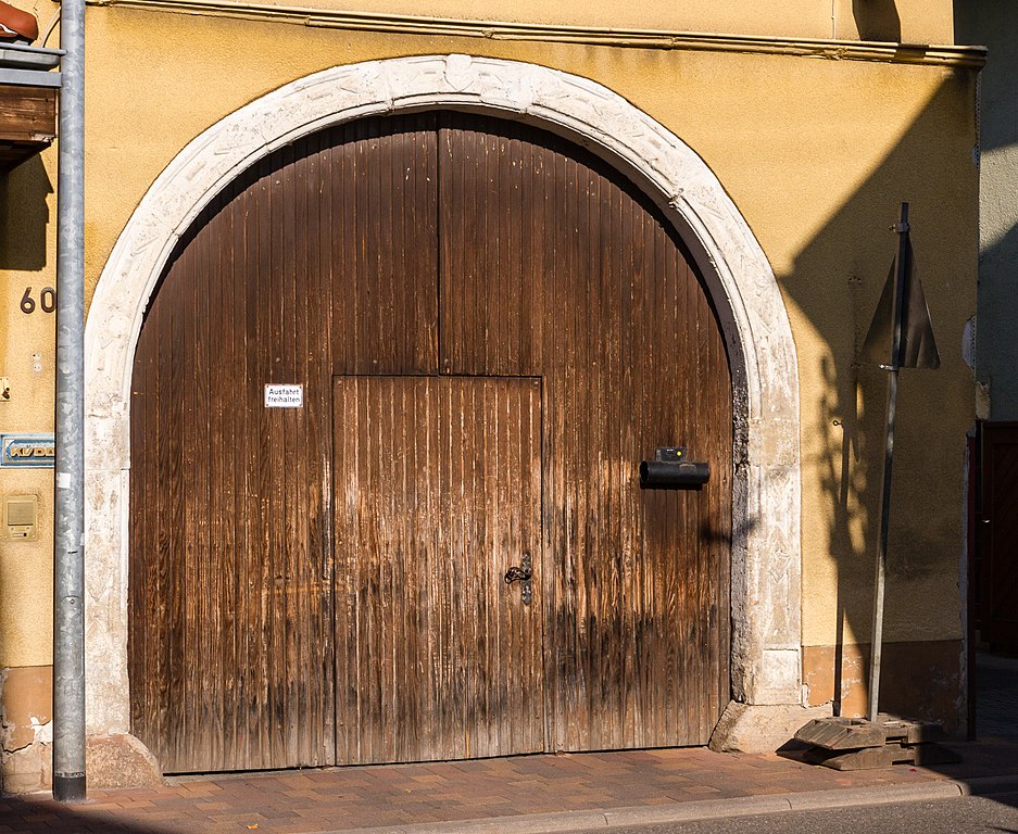
This is a photograph of a cultural monument.
It is on the list of cultural monuments of Niederkirchen bei Deidesheim. Designation: Gateway |
Date | Taken on 11 October 2015, 15:37 |
Source | Self-photographed |
Author | Friedrich Haag |
Attribution (required by the license) InfoField | © Friedrich Haag / Wikimedia Commons / |
InfoField | © Friedrich Haag / Wikimedia Commons |
Object location | 49° 24′ 46.63″ N, 8° 12′ 44.92″ E | View this and other nearby images on: OpenStreetMap | 49.412952; 8.212477 |
---|
Camera location | 49° 24′ 46.45″ N, 8° 12′ 44.58″ E | View this and other nearby images on: OpenStreetMap | 49.412902; 8.212383 |
---|
Licensing[edit]
- You are free:
- to share – to copy, distribute and transmit the work
- to remix – to adapt the work
- Under the following conditions:
- attribution – You must give appropriate credit, provide a link to the license, and indicate if changes were made. You may do so in any reasonable manner, but not in any way that suggests the licensor endorses you or your use.
- share alike – If you remix, transform, or build upon the material, you must distribute your contributions under the same or compatible license as the original.
Other[edit]
This image was uploaded as part of Wiki Loves Monuments 2016.
Afrikaans ∙ Alemannisch ∙ azərbaycanca ∙ Bahasa Indonesia ∙ Bahasa Melayu ∙ Bikol Central ∙ bosanski ∙ brezhoneg ∙ català ∙ čeština ∙ Cymraeg ∙ dansk ∙ davvisámegiella ∙ Deutsch ∙ eesti ∙ English ∙ español ∙ Esperanto ∙ euskara ∙ français ∙ Frysk ∙ Gaeilge ∙ galego ∙ hrvatski ∙ Ido ∙ italiano ∙ latviešu ∙ Lëtzebuergesch ∙ Malagasy ∙ magyar ∙ Malti ∙ Nederlands ∙ norsk ∙ norsk nynorsk ∙ norsk bokmål ∙ polski ∙ português ∙ português do Brasil ∙ română ∙ shqip ∙ sicilianu ∙ slovenčina ∙ slovenščina ∙ suomi ∙ svenska ∙ Tagalog ∙ Türkçe ∙ Yorùbá ∙ Zazaki ∙ Ελληνικά ∙ беларуская ∙ беларуская (тарашкевіца) ∙ български ∙ кыргызча ∙ македонски ∙ русский ∙ српски / srpski ∙ українська ∙ ქართული ∙ հայերեն ∙ नेपाली ∙ हिन्दी ∙ বাংলা ∙ മലയാളം ∙ ไทย ∙ 한국어 ∙ +/− |
File history
Click on a date/time to view the file as it appeared at that time.
Date/Time | Thumbnail | Dimensions | User | Comment | |
---|---|---|---|---|---|
current | 08:43, 9 September 2016 | 2,469 × 2,024 (4.22 MB) | F. Riedelio (talk | contribs) | VicuñaUploader 1.23 |
You cannot overwrite this file.
File usage on Commons
The following 2 pages use this file:
File usage on other wikis
The following other wikis use this file:
- Usage on de.wikipedia.org
Metadata
This file contains additional information such as Exif metadata which may have been added by the digital camera, scanner, or software program used to create or digitize it. If the file has been modified from its original state, some details such as the timestamp may not fully reflect those of the original file. The timestamp is only as accurate as the clock in the camera, and it may be completely wrong.
Camera manufacturer | Canon |
---|---|
Camera model | Canon EOS 7D |
Author | Friedrich Haag |
Copyright holder |
|
Exposure time | 1/250 sec (0.004) |
F-number | f/11 |
ISO speed rating | 100 |
Date and time of data generation | 15:37, 11 October 2015 |
Lens focal length | 29 mm |
Latitude | 49° 24′ 46.45″ N |
Longitude | 8° 12′ 44.58″ E |
Altitude | 110.887 meters above sea level |
Label | (an) Hauptstraße 60 |
Online copyright statement | http://creativecommons.org/licenses/by-sa/4.0/de/legalcode |
Short title |
|
Image title |
|
Usage terms | |
City shown | Niederkirchen bei Deidesheim |
Orientation | Normal |
Horizontal resolution | 96 dpi |
Vertical resolution | 96 dpi |
Software used | Adobe Photoshop Lightroom 6.6.1 (Windows) |
File change date and time | 09:16, 9 September 2016 |
Exposure Program | Manual |
Exif version | 2.3 |
Date and time of digitizing | 15:37, 11 October 2015 |
APEX shutter speed | 7.965784 |
APEX aperture | 6.918863 |
APEX exposure bias | 0 |
Maximum land aperture | 3 APEX (f/2.83) |
Metering mode | Pattern |
Flash | Flash did not fire, compulsory flash suppression |
Color space | sRGB |
Focal plane X resolution | 5,715.545755237 |
Focal plane Y resolution | 5,808.4033613445 |
Focal plane resolution unit | inches |
Custom image processing | Normal process |
Exposure mode | Manual exposure |
White balance | Auto white balance |
Scene capture type | Standard |
GPS tag version | 0.0.2.2 |
Serial number of camera | 0580515884 |
Lens used | 24-70mm |
Date metadata was last modified | 11:25, 9 September 2016 |
Unique ID of original document | 260FF495F76BB3AAC049F293D6AF9D9F |
Copyright status | Copyright status not set |
Keywords |
|
Province or state shown | Rheinland-Pfalz |
Country shown | Deutschland |
Code for country shown | DE |
Sublocation of city shown | Hauptstraße 60 |
IIM version | 4 |
Structured data
Items portrayed in this file
depicts
49°24'46.447"N, 8°12'44.579"E
11 October 2015
49°24'46.627"N, 8°12'44.917"E
0.004 second
11
29 millimetre
100
image/jpeg
064750fc47600344bd52e7f97700c3dd7d1c2720
4,425,922 byte
2,024 pixel
2,469 pixel
- Rhineland-Palatinate photographs taken on 2015-10-11
- Information field template with formatting
- CC-BY-SA-4.0
- Self-published work
- Images from Wiki Loves Monuments 2016
- Images from Wiki Loves Monuments 2016 in Germany
- Images from Wiki Loves Monuments missing SDC depicts
- Images by F. Riedelio
- Taken with Canon EOS 7D
- Taken with Tamron SP AF 24-70mm F/2.8 Di VC USD
- Uploaded via Campaign:wlm-de-rp
- Images from Wiki Loves Monuments 2016, DE-RP
- Uploaded with VicuñaUploader
- Images from Wiki Loves Monuments 2016 in Germany not for prejury
- Pages with maps