File:153303 and 150 number 122 Exeter St Davids to Avonmouth 2K18 - 23384797273.jpg
Original file (4,856 × 2,728 pixels, file size: 5.24 MB, MIME type: image/jpeg)
Captions
Captions
Summary[edit]
| Description |
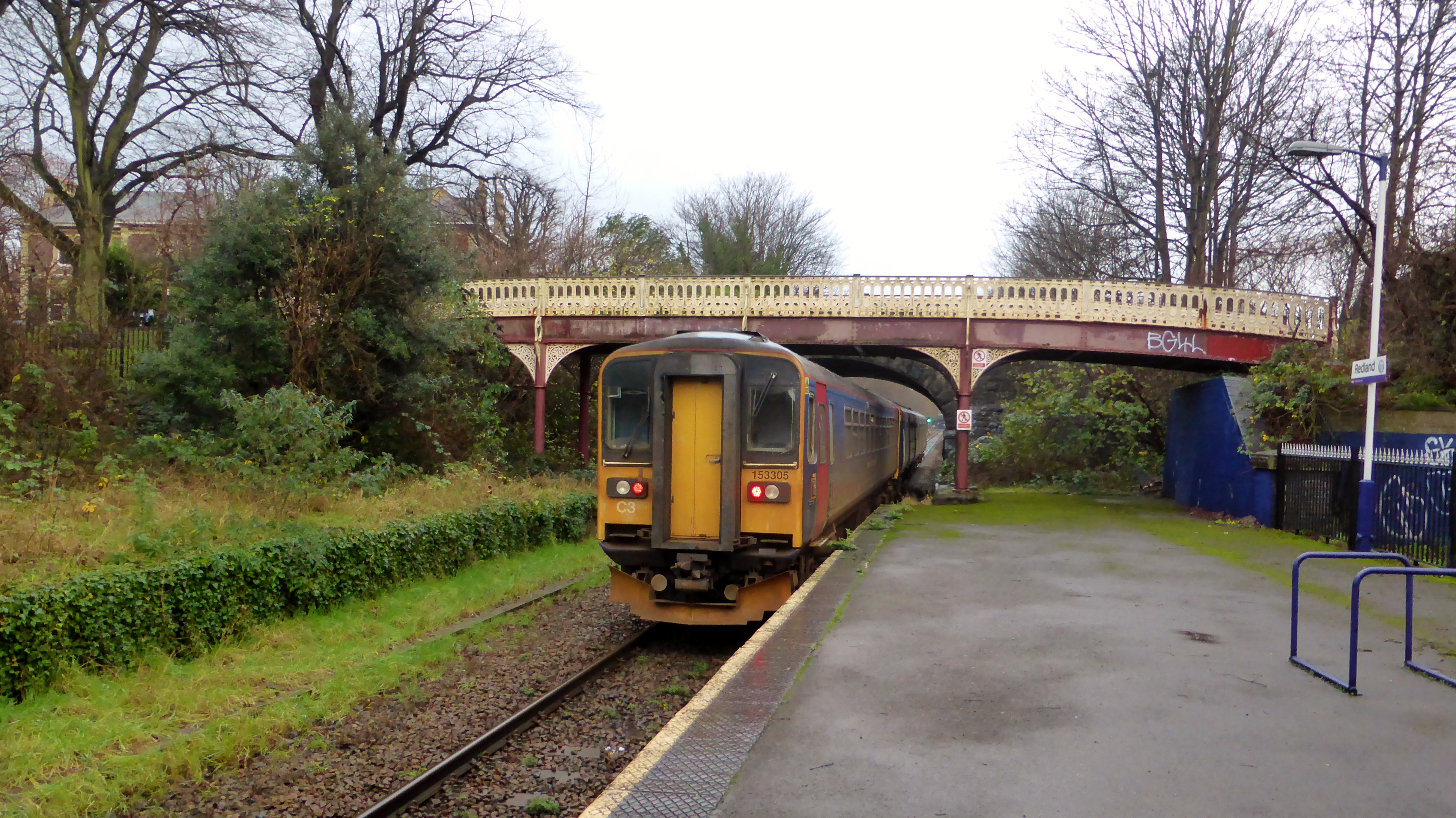
English: According to Realtime Trains the route and timings were;
Exeter St Davids 6................0933........................0933.........................RT Cowley Bridge Junction.....0936........................0935 1/2...................RT Stoke Canon Lc....................0938........................0937 1/2...................RT Hele & Bradninch Lc............0942 1/2..................0941 1/2....................RT Tiverton Loop........................0948........................0947..........................RT Tiverton Parkway [TVP] 2...0950/0951.............0949 1/4/0951 1/2..RT Whiteball.................................0955 1/2..................0956 1/2....................1L Wellington Somerset X.......0959........................0958 1/2...................RT Norton Fitzwarren................1004.........................1003 1/4....................RT Taunton [TAU] 5....................1006/1007...............1005 1/2/1007.........RT Cogload Junction.................1012..........................1012 1/4.....................RT Bridgwater [BWT] 2..............1018 1/2/1019 1/2....1018 1/2/1020 1/4....RT Highbridge & Burnham 2...1026 1/2/1027........1027 1/4/1029..........2L Brent Knoll..............................1030 1/2...................1032 1/2....................2L Uphill Junction......................1034 1/2...................1036 1/2....................2L Weston-super-Mare 2............1037 1/2/1051 1/2...1040 1/4/1051..........RT Weston Milton [WNM] 1.......1054.........................1053 1/4....................RT Worle Junction......................1055.........................1054 1/2....................RT Worle [WOR] 2.......................1056 1/2/1057 1/2..1056/1057 1/4..........RT Yatton [YAT] 2.......................1102 1/2/1103..........1103/1105 1/2............2L Nailsea & Backwell 2...........1108/1109.................1110 3/4/1112 1/2.......3L Flax Bourton..........................1111 1/2......................1115 3/4.....................4L Parson Street Junction.......1116...........................1119 3/4.....................4L Parson Street [PSN] 2..........1116...........................1120...........................4L Bedminster [BMT] 2.............1118...........................1121 1/4.......................3L Bristol West Junction...........1119...........................1122 1/4......................3L Bristol Temple Meads 7......1120/1123.................1123 3/4/1127 1/2.....4L Bristol East Junction............1124..........................1128 3/4....................4L Dr Day's Junction..................1124 1/2....................1129 1/2.....................5L Lawrence Hill [LWH] 1..........1125 1/2/1126..........1130 1/2/1131 1/4.......5L Stapleton Road [SRD] 1.......1127 1/2/1128...........1133/1134...................6L Narroways Hill Junction......1129..........................1135...........................6L Montpelier [MTP] 1................1131/1131 1/2.............1136 1/2/NoRep.......5L Redland [RDA] 1....................1133/1133 1/2...........NoRep/1140.............6L Clifton Down [CFN] 1............1135 1/2/1136...........1142/1143...................7L Sea Mills [SML] 1....................1139 1/2/1140...........1146 1/2/NoRep........7L Shirehampton [SHH] 1.........1143/1143 1/2...........NoRep/1151 1/4.........7L Avonmouth [AVN] 2.............1147...........................1154 1/4......................7L |
| Date | |
| Source | https://www.flickr.com/photos/99279135@N05/23384797273/ |
| Author | train_photos |
| Camera location | | View this and other nearby images on: OpenStreetMap |
|---|
Licensing[edit]
- You are free:
- to share – to copy, distribute and transmit the work
- to remix – to adapt the work
- Under the following conditions:
- attribution – You must give appropriate credit, provide a link to the license, and indicate if changes were made. You may do so in any reasonable manner, but not in any way that suggests the licensor endorses you or your use.
- share alike – If you remix, transform, or build upon the material, you must distribute your contributions under the same or compatible license as the original.
| This image was originally posted to Flickr by train_photos at https://flickr.com/photos/99279135@N05/23384797273. It was reviewed on 17 June 2021 by FlickreviewR 2 and was confirmed to be licensed under the terms of the cc-by-sa-2.0. |
File history
Click on a date/time to view the file as it appeared at that time.
| Date/Time | Thumbnail | Dimensions | User | Comment | |
|---|---|---|---|---|---|
| current | 23:27, 17 June 2021 | | 4,856 × 2,728 (5.24 MB) | Oxyman (talk | contribs) | Uploaded a work by train_photos from https://www.flickr.com/photos/99279135@N05/23384797273/ with UploadWizard |
You cannot overwrite this file.
File usage on Commons
The following page uses this file:
Metadata
- Redland railway station
- British Rail Class 153s of Great Western Railway (First Group)
- British Rail Class 153s in First Great Western Local Lines livery
- British Rail Class 153s on the Severn Beach Line
- Trains of Great Western Railway (First Group) on the Severn Beach Line
- 2015 in rail transport in England
- December 2015 in Bristol
- British Rail Class 153 153305